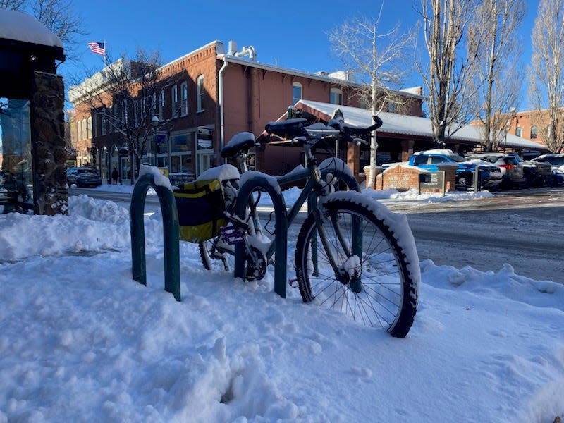
Snow falls in northern Arizona as storm expected to continue
A winter storm brought snow to northern Arizona's high country overnight on Sunday. Snow was expected to continue throughout Monday.
The Flagstaff Pulliam Airport received half an inch of snow overnight, and visibility reached as low as a quarter of a mile at about 2:30 a.m. Monday due to heavy snowfall and freezing fog, according to National Weather Service reports.
In high-elevation areas across the state, a winter weather advisory was active through Tuesday morning, with some chances of snowfall at lower elevations. At about 8 a.m. Monday, snow began falling on U.S. 60 between Superior and Globe, which is at about 3,000 feet of elevation.
As of 12:30 p.m. Monday, five road closures related to the storm had been lifted: on southbound State Route 89 near Chino Valley at milepost 327, on eastbound S.R. 260 before Heber-Overgaard at milepost 256, on Interstate 40 near Seligman at milepost 124 in both directions, on Interstate 17 south of Munds Park and on Interstate 40 eastbound between Ash Fork and Williams, according to the Arizona Department of Transportation.
Some areas with heavy snowfall overnight were requiring four-wheel drive or chains on vehicle tires, including on Snow Bowl Road, the road leading up to the Arizona Snowbowl Ski Resort, according to the ski resort's website Monday morning.
According to Arizona Snowbowl, the resort received a foot of snow in the past 24 hours, for a season total of 37 inches so far.
What weather to expect in Arizona for the rest of the week
Snowfall was expected to slow down in the Flagstaff area, with about 1.2 inches of snow expected to fall in the city between 11 a.m. and 5 p.m. Monday. In some higher elevation areas of the White Mountains, over 9 inches of snow was expected; some areas near Show Low were expected to see over 7 inches, according to the weather service.
After Monday night, snow was not expected in Flagstaff for the rest of the week, with highs in the low 30s early in the week jumping to the high 30s by Wednesday and Thursday. Lows will remain in the high single-digits to low teens.
There was a slight chance of showers Monday night in Phoenix, but the rest of the week will be mostly sunny, with highs in the mid- to high 50s and lows in the mid-30s to low 40s. The National Weather Service said there may be areas of frost before 8 a.m. Wednesday and between 4-8 a.m. Thursday.
In Tucson, chances of rainfall remained through Monday night, with dry conditions the rest of the week. High temperatures were expected to be in the mid-40s to low 50s, with lows in the low 20s to mid-30s. A freeze watch would be active Tuesday night, and frost is expected at colder times between Tuesday and Thursday.
John Glueck, a meteorologist with the National Weather Service, said areas south of Tucson should expect light snow. He said Bisbee should expect to see about 2 inches of snow, while Sierra Vista, Willcox, Douglas and Benson should expect about an inch of snow.
This article originally appeared on Arizona Republic: Arizona weather: Snow falls in high country as storm hits state

