Snow, fierce winds expected in the NC mountains. Heavy rains heading to Charlotte
THIS STORY WAS UPDATED AT 11:15 A.M. SUNDAY, FEB. 11, 2024.
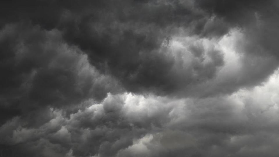
A major storm system expected across much of the South could bring snow and fierce winds to the North Carolina mountains and thunderstorms and heavy rains to the Charlotte area early in the week, a National Weather Service meteorologist said Saturday.
Coastal areas including Ocracoke Island, Hatteras Island and other parts of the Outer Banks should brace for “multiple threats,” according to an NWS alert Saturday. Those threats likewise include strong winds, heavy rains and “minor” flooding.
Snow is most likely late Monday and early Tuesday in areas above 3,500 feet straddling the Tennessee border, forecaster Clay Chaney of the NWS office in Greer, South Carolina, told The Charlotte Observer.
Areas include the ski resort town of Beech Mountain; Clingmans Dome, the highest point in Great Smoky Mountains National Park at 6,643 feet; Roan Mountain in Tennessee; the community of Wolf Laurel, 30 miles north of Asheville; and the Avery County town of Elk Park, Chaney said.
Such higher elevations can expect an inch of snow, according to an NWS bulletin just after 10 a.m. Saturday. Gusts of 55-65 mph also are expected in higher-elevation communities.
When will it rain in Charlotte?
The word “snow” may have seemed odd to Charlotteans enjoying a balmy 71-degree day on Saturday.
Highs are expected to bounce around from 66 on Sunday to 65 on Monday, 58 on Tuesday and Wednesday, 63 on Thursday, 64 on Friday and 53 on Saturday, according to the NWS Charlotte forecast at 9 a.m. Sunday.
The normal high in Charlotte is 55 or 56 this time of year, Chaney said.
Now, prepare for a deluge, forecasters warned.
Mecklenburg and surrounding counties face “rounds of heavy rainfall” Sunday night into Monday, according to an NWS hazardous weather outlook bulletin just before 6 a.m. Sunday. Pounding rains “could lead to minor flooding of streams and locations with poor drainage.”
“Also, a few storms capable of producing damaging winds will be possible Monday afternoon,” according to the alert.
Just before 11 a.m. Sunday, the NWS issued a flood watch from 10 p.m. Sunday through Monday night for Mecklenburg, Cabarrus, Union, Cleveland, Lincoln and Gaston counties and much of South Carolina.
Charlotte had a 90% chance of showers on Sunday and a 100% chance on Monday, the forecast showed. Sunshine is then forecast for the rest of the work week.
Any thunderstorms that develop in Charlotte on Monday aren’t expected to be severe, Chaney said. More intense thunderstorms are expected along Interstate 77 from Chester County, South Carolina, to Columbia, he said.
Periods of heavy rainfall through Monday will create a flooding risk. Also, severe thunderstorms will be possible Monday afternoon. Stay weather alert! #gawx #ncwx #scwx #cltwx pic.twitter.com/JGS7Tjwe32
— NWS GSP (@NWSGSP) February 11, 2024
Rounds of heavy rainfall will be in store starting later today into tonight and will continue through Monday night with lulls in between. This could lead to minor stream and urban flooding across the area. Additionally, strong to severe thunderstorms will be possible on Monday. pic.twitter.com/9xsbbhK4C8
— NWS GSP (@NWSGSP) February 10, 2024

