Snow, ice come to West Tennessee with delayed arrival
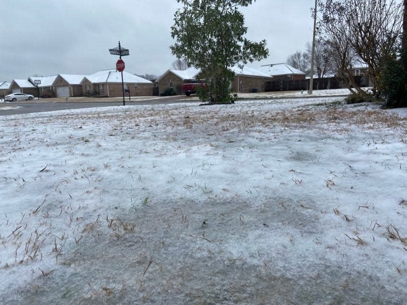
As West Tennesseans woke up Sunday morning, the amount of wintry precipitation they found outside their homes varied with higher amounts of accumulation to the north and accumulation in Jackson was sporadic if there was any.
Tennessee Department of Transportation spokesperson Nichole Lawrence posted photos on Twitter early in the morning from Carroll County between Huntingdon and Clarksburg, Collierville in Shelby County and Henderson County on Interstate 40 near Parker’s Crossroads of accumulation in all spots.
And while the amount of accumulation was significant that caused problems on the road with wrecks happening because of slick conditions, it was a fraction of what was predicted beforehand.
Local meteorologist Eddie Holmes broadcasts daily weather updates on the Grace Broadcasting group of radio stations and does work on his own on Facebook and his YouTube Channel – West Tennessee Weather Online Eddie Holmes. He continues to do forecasting work and monitoring atmospheric conditions around the region for daily weather updates through those platforms as well.
“Weather forecasting has changed so much over the past 40 years since I got into it while living in McKenzie and we had a teletype machine we waited on updates from,” Holmes said. “The technology both in monitoring the weather and disseminating the information about predictions has advanced so much.
“Plus the information is so much more available for anyone compared to what it was two or three decades ago that more people can be in the know of what’s possible and even expected in the coming days.”
Holmes also goes live on Facebook and YouTube in times of severe weather. When the tornado outbreak that occurred in West Tennessee on Dec. 10 and 11, he was up all night giving information as he got it to 400 subscribers who were following him that night.
Regarding this weekend’s specific weather situation, forecasting models for rural West Tennessee for expected snow accumulation ranged from a couple inches to as many as 15, which would’ve made it a significant event on the same level with the snow and ice storm the region had in February of 2021 of one in January of 2018 that kept travelers in Interstate 40 on the highway until crews could clear them out early the next morning and kept schools closed for more than a week.
With many school districts already dismissed on Monday for Martin Luther King Day observances, it was unclear on Sunday morning about if school will be affected by this storm.
Holmes did say in past years, it’s possible people in the larger weather organizations like National Weather Service and NOAA would’ve known about the range of possibilities for this weekend, but in years past, that information wouldn’t have been relayed to the public.
“I’m not really sure why these organizations and the government didn’t give that information out, but until technology got to a point that laypeople can have an idea of what’s going on or what could go on as far as a week to 10 days out, they didn’t put that out regularly,” Holmes said.
To explain how predictions for this weekend happened, Holmes said there are eight forecasting models that are made every day for meteorologists and weather forecasters to look at.
“A lot of the time, there will be a lot of differences in these models the further out they go,” Holmes said. “But as the time for an event like the one predicted for this weekend draws near, there will begin to be more consistency in what’s expected as they almost gravitate toward one of the predictions.
“And once they all begin to gravitate toward that one, that’s typically when you hear definitive predictions, probably 48, maybe 72 hours out.”
And for situations like this weekend where there is a stark difference in predictions and reality, Holmes said as much science as there is that goes into this process, sometimes weather still seems to try to be as unpredictable as possible.
“We always have an idea of what we can expect,” Holmes said. “But weather can always change its plans at the last minute and a front change direction. But we’re getting more successful than we were a few years ago.”
As temperatures stayed low throughout Sunday morning, precipitation began to pick up and caused more accumulation in the southern areas of rural West Tennessee throughout the day.
Reach Brandon Shields at bjshields@jacksonsun.com or at 731-425-9751. Follow him on Twitter @JSEditorBrandon or on Instagram at editorbrandon.
This article originally appeared on Jackson Sun: Snow ice come to West Tennessee without as much predicted accumulation

