Snow and ice expected to sweep across central Wisconsin from Tuesday to Thursday
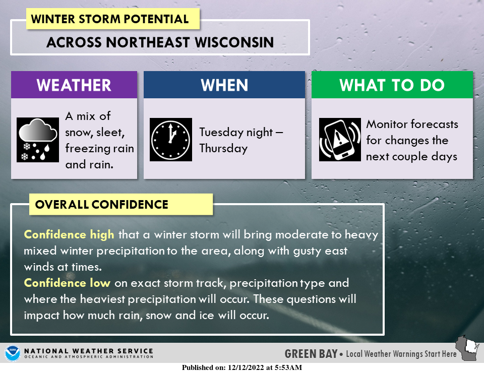
After a week of above-normal temperatures, central Wisconsin is expected to get a blast of winter weather later in the week, according to the National Weather Service in Green Bay.
A winter storm watch is in effect from Tuesday to Thursday for Marathon, Lincoln, Portage and Wood counties. This storm is expected to bring a mixture of snow, freezing rain and sleet across central Wisconsin, along with gusts of wind from 30 to 40 miles per hour, the NWS said.
Other counties affected by the storm system could be Shawano, Waupaca, Waushara and the southern part of Marinette and Oconto Counties. Areas further south, like the Fox Cities, have a lesser chance of seeing a mix of snow and rain.
Two to five inches of snow and sleet are possible, along with less than a quarter inch of ice. This combination is expected to make the roads treacherous all day Wednesday, especially in central Wisconsin.
The NWS expects the storm to arrive Tuesday night. What's not known, however, is the exact timing and track of the storm and what type of precipitation central Wisconsin could see, the NWS said.
Temperatures are expected to hover within the 30s until Saturday, when the thermometer will dip to the teens and 20s.
Contact Rebecca Loroff at 920-907-7801 or rloroff@gannett.com.
This article originally appeared on Stevens Point Journal: Winter storm watch in effect for central WI Tuesday to Thursday

