Snow is at last in the forecast for Boise, alongside heavy mountain snowfall. Here’s when
It’s arriving a little later than usual, but snow is finally in the forecast for Boise later this week.
The National Weather Service in Boise forecasts a 30% chance of snow on Friday morning and a 60% chance overnight into Saturday morning.
If snow does fall in downtown Boise, it’ll be the first measurable snowfall of the season for the City of Trees. Boise previously received a trace amount of snowfall on Nov. 6, but that does not count as measurable.
The average first day of measurable snowfall in Boise is Nov. 18, according to Weather Service records.
“The last time we didn’t have (November snow) was in 2021; we had a trace in November,” Weather Service meteorologist Dave Groenert told the Idaho Statesman. “Last year, we had 3.2 inches; it seems to be back and forth. 2021 was a trace, and 2020 was 4.3 inches. The average is about two inches in November.”
How much snow could Boise get?
Unfortunately for snow lovers, the wait for a significant snowfall in the Treasure Valley will likely extend past the first weekend of December. Groenert said that although it’s difficult to pinpoint exactly how much snow will fall in Boise, there’s only a 20% chance of accumulations of more than an inch.
The chance of rain and snow will continue into the weekend, according to the Weather Services’ forecast, but it’s more likely that precipitation later in the weekend will fall on Boise as rain or a mix of rain and snow.
“I think our best chance for measurable snow would come Friday night into early Saturday,” Groenert said. “But it’s definitely looking wetter. And especially as we get later into the weekend and early next week, the mountains could see a good bit of snow.”
How much snow will Boise mountains get?
It looks like ski season will properly get underway for many of Idaho’s ski resorts this weekend, including Bogus Basin.
Bogus Basin has only received 15 inches of snow this season and had no measurable snow at base camp as of Monday. But Groenert expects the Boise Mountains to receive between 10 and 20 inches of snow this weekend, potentially doubling Bogus Basin’s seasonal snow total.
“For the mountains, it’ll be all snow,” Groenert said. “So it’s not the precipitation type that’s in question; it’s just the amounts.”
Where is the active weather coming from?
The sudden change in Boise’s weather pattern comes from a mix between a northwesterly flow from the Gulf of Alaska, bringing cold air and moisture toward the Gem State, and a westerly flow bringing high precipitation levels from the Pacific Ocean.
The two factors combined will produce precipitation for much of Idaho starting this weekend and early next week.
The westerly flow could slowly shift to a more southwesterly flow by next week, Groenert said, which is a weather phenomenon called the “Pineapple Express.” This occurs when subtropical moisture from the Hawaii region builds up and comes inland along the northwest coast, providing heavy rain and snowfall.
“The Pineapple Express Line — subtropical moisture — early on, that’s not really the case,” Groenert said. “It’s just a greater moisture content compared to what we have with the drier air in the northwest flow.
“And then as we get on into next week,” he continued, “there’s a chance to kind of shift more to the southwest, which would tap into some large subtropical moisture.”
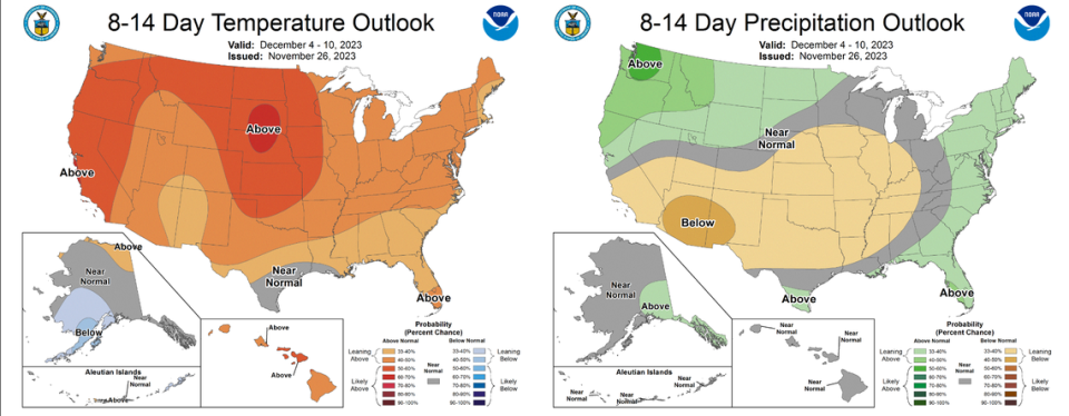
The Climate Prediction Center, which looks at long-range forecasting, sees the Gem State as having a 40-60% chance of warmer-than-average temperatures over the next two weeks but a 33-50% chance of higher-than-average precipitation.