Jacksonville weather update: Snowfall ends as sun begins to melt it away

11:30 a.m. Saturday: Snow has stopped and is melting fast
The snow has stopped for the most part across Onslow County, and the rising temperatures and sun have worked to quickly melt most of it.
North Carolina Department of Transportation posted earlier this morning that road conditions could be slick or icy in some areas, so to take your time when traveling today.
For the most part, though, the winter weather seems to have gone as quickly as it came in Onslow.
This is the final live update from The Daily News on the weather conditions in Jacksonville. We will be monitoring conditions and share breaking news if it occurs.
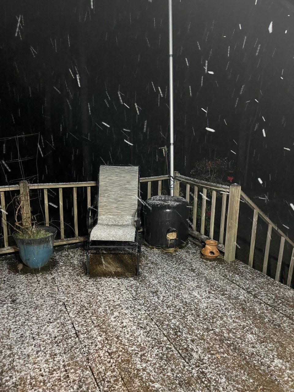
7 a.m. Saturday: Snowing now in Onslow, should continue through most of morning
The snow is coming down pretty hard right now throughout Onslow County, and the National Weather Service expects it to continue through most of the morning.
NWS Meteorologist Shane Kearns said it's snowing in pretty good clips across Onslow County, and they're expecting that to continue for the next couple of hours. However, he said the temperatures are still a couple degrees above freezing, so they're still not expecting much road impacts.
"If it does snow hard enough, there could be some minor accumulation," said Kearns. "It'd be more favorable for some accumulation on elevated surfaces, bridges, overpasses, that kind of thing."
Kearns said residents should expect steady snow through 8 or 9 a.m., and then it should taper off with more scattered snow showers throughout the rest of the morning, before stopping altogether by noon.
Temperatures for the rest of the day should be pretty cold, with highs in the upper 30s, according to Kearns.
6:45 p.m. Friday: Just a dusting of snow expected
The National Weather Service said Friday evening that no changes to the forecast have been made, and a dusting is all that's expected for Onslow County on Saturday morning.
Jacksonville City Government posted Friday evening to allow yourself additional travel time on Saturday morning, and to take it slow, just in case there are any dangerous road conditions.
4:15 p.m. Friday: No changes to forecast for Friday and Saturday
No changes to the forecast have been made for the winter weather expected for Friday night into Saturday morning.
National Weather Service Meteorologist Erik Heden said they are still predicting less than an inch for the Onslow area, most likely a dusting, if anything.
11:30 a.m. Friday: Snow likely for Onslow Saturday morning, but not much
Snow is expected for Onslow County for the second weekend in a row.
The National Weather Service is forecasting rain and snow for Friday night into Saturday morning, though it isn't expected to be anything like last weekend. Meteorologist Erik Heden said there will be rain, especially this evening, but there won't be any issues at all through early tonight.
Heden said temperatures when people are going out for Friday dinner will be well above freezing, predicting 45 degrees around 5 p.m. He said not to expect anything until after midnight.
"Late tonight and tomorrow, as the storm moves away from us, it gets very windy and it gets colder," said Heden. "As that cold air moves in, there will be a little bit of moisture around, and we'll have a little bit of snow first thing Saturday morning. When I mean little, I mean little. It will mainly be falling out of the sky and not really accumulating. If it accumulates, maybe on the grass, maybe on the bridges, but not like last time."

Heden said the coldest spots of the yard is where residents could see a dusting due to temperatures in the morning being just below freezing. With a high of 36 degrees tomorrow, he said it will gradually become sunny by tomorrow afternoon, so any snow that does show up is going to be between daybreak and 9 a.m.
"Whatever happens in the morning will be a distant memory," said Heden. "It's going to be a cold and blustery day tomorrow, very very windy, but the high temperature is going to be above freezing. With the sun and stuff, it's going to melt whatever happens."
Heden said they want to ensure people don't cancel anything unnecessarily.
For the latest snowfall forecast in the Morehead City region, visit weather.gov/mhx/winter.
Reporter Morgan Starling can be reached at mstarling@gannett.com
This article originally appeared on The Daily News: Snow likely in Onslow County NC on Saturday morning

