Snow and more cold coming to Northeast Ohio after Sunday's winter blast
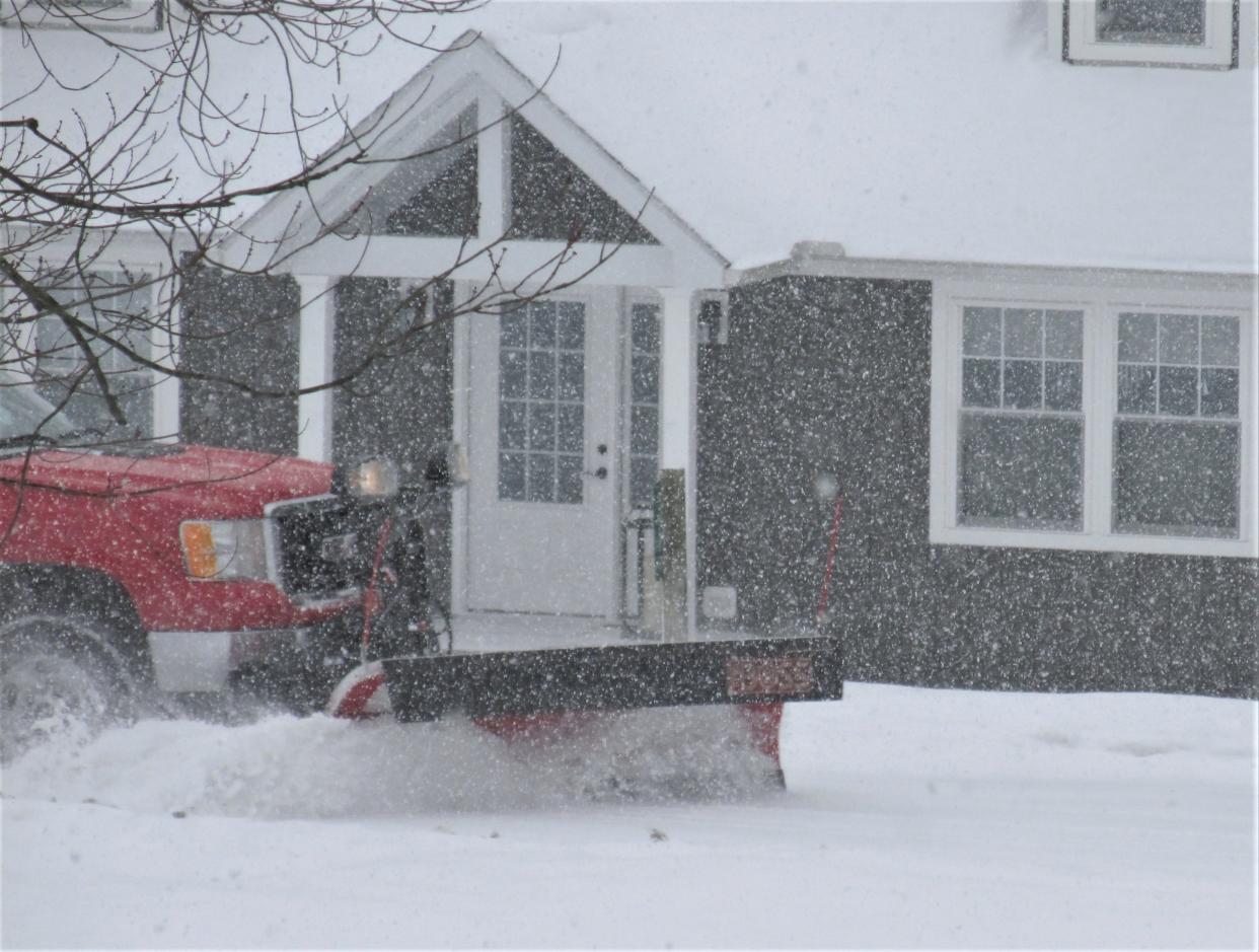
Get ready for more snow after Sunday's blast blanketed Northeast Ohio.
The Akron-Canton region got three to five inches, according to the regional National Weather Service bureau in Cleveland.
On Monday, "we will get another light round," said meteorologist Karen Clark of the National Weather Service. "We are looking at another one to two inches. Most of it will fall in the afternoon. It might impact that evening commute."
Temperatures on Monday are expected to be in the upper 20s.
But, "another round of cold air will come in Tuesday and Wednesday," Clark said. "Temperatures Tuesday night probably will be in single digits. We are looking at a high of 23 in the morning. And Wednesday, a high of around 18. We will probably be cold through the end of January."
The area endured a massive snowfall early last week with more than 13 inches accumulating in this area.
The current weather event "is an Alberta clipper system," said Jim Sullivan, also a National Weather Service meteorologist. "It originates over the Canadian province Alberta. For an Alberta clipper, it is a stronger system."
This article originally appeared on The Repository: More snow expected Monday after Sunday's winter blast

