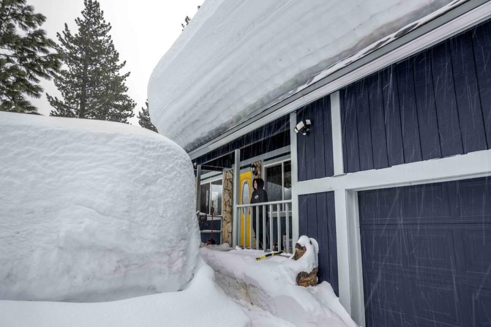
Snow returns to Tahoe as rain heads for Sacramento region. Here’s your latest forecast
The Tahoe region is expecting more snow this month, rounding out October with a flurry, as the capital region braces for more rain.
Snow is forecast starting Wednesday night in the Sierra, according the National Weather Service.
Today is the last mild and quiet weather day ahead of the upcoming cold and showers. Be sure you're ready for the cold and potentially slick, icy roads in the Sierra and western NV.
Details: https://t.co/PINwkjv1Fl pic.twitter.com/ZYN8pb0I1U— NWS Reno (@NWSReno) October 24, 2023
Snow showers are predicted to start at around 9 p.m., according to the weather service’s five-day forecast, followed Wednesday by a round of scattered rain showers in Truckee. A lake wind advisory will also be in place into Wednesday night.
“We’ve had a few little minor systems pass through but nothing necessarily to this caliber,” said Tyler Salas, a weather service meteorologist in Reno, which forecasts for the Tahoe region. “This is more of a pre-winter type of system — kind of an appetizer, if you will.”
Tuesday night’s snowfall is the first of a couple of systems that will pass through over the next five days in the Sierra, Salas said, with snow levels to start at around 6,000 feet.
Weather officials are advising anyone who is planning to drive up to higher elevations to check road conditions on the Caltrans website before getting behind the wheel.
Earlier this month, the Tahoe region saw its first round of light dusting, which is exciting news for ski resorts that are scheduled to open in less than a month.
There is a slight chance of rain in the foothills and in the Sacramento area, according to the weather service five-day forecast.
Auburn is expected to receive some rain on Wednesday and there is a slight chance for Friday. In Sacramento, there is a slight chance of showers most of Wednesday.
Most of the rain will be in centered in the northern Sierra, according to the weather service.
Precipitation chances return tomorrow, with highest probabilities over the mountains and foothills. Here's a look at the predicted precipitation totals from 5AM Wednesday to 5AM Thursday. Highest totals will be concentrated over the northern Sierra.#CAwx pic.twitter.com/NdIkWUYLtl
— NWS Sacramento (@NWSSacramento) October 24, 2023
Snowbody asked but we are looking at a chance for a little bit (or more than a bit in the case of Lassen Peak!) of snow on Wednesday!️Snow levels will generally be 6000-7000 ft. Most snow accumulation will be less than 2 inches and likely won't stick around too long.#CAwx pic.twitter.com/k9fWwAtDje
— NWS Sacramento (@NWSSacramento) October 24, 2023
What do you want to know about life in Sacramento? Ask our service journalism team your top-of-mind questions in the module below or email servicejournalists@sacbee.com.

