Snow returns Thursday, rain more likely this weekend in greater Akron area
A snow emergency in Summit County was lifted Wednesday afternoon, but hazardous weather remained in the greater Akron area forecast, as rain was expected Wednesday night, with a return to snowy conditions increasing early Thursday morning.
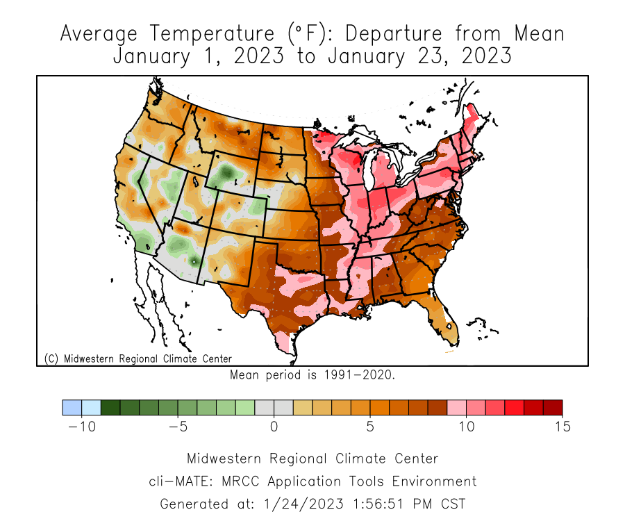
Temperatures had increased to around 40 in the area and a snow emergency in Summit County was lifted in the afternoon after the Wednesday morning storm closed schools throughout the area.
Around 6:50 a.m., I-71 south just south of I-76 was closed after a semi truck appeared to be on its side, blocking traffic. Around 12:20 p.m. all lanes were clear except for the right lane which still required crews for cleanup.
The National Weather Service forecast predicts a 60% to 70% chance of rain and snow showers overnight, with rain turning to snow in the early morning hours. There's a 60% chance of snow on Thursday, with a high temperature around freezing, increasing to a 90% chance of snow Thursday night as temperatures drop into the low 20s.
Temperatures are expected to remain in the 30s through the weekend, with rain and snow showers throughout, with rain most likely on Sunday with temperatures back up around 40.
Current Seven-day forecast
Thursday: Snow showers likely, mainly before 8 a.m. Cloudy, with a high near 32. West wind 9 to 14 mph. Chance of precipitation is 60%. New snow accumulation of 1 to 2 inches possible.
Thursday Night: Snow showers, mainly before 4 a.m. Low around 23. West wind 7 to 9 mph. Chance of precipitation is 90%. New snow accumulation of 1 to 3 inches possible.
Friday: A chance of snow showers before 8 a.m., then a slight chance of snow showers after 2 p.m. Cloudy, with a high near 35. Southwest wind 9 to 15 mph, with gusts as high as 25 mph. Chance of precipitation is 30%. New snow accumulation of less than a half inch possible.
Friday Night: Snow showers likely, mainly between 8 p.m. and 2 a.m. Cloudy, with a low around 29. South wind 16 to 18 mph, with gusts as high as 28 mph. Chance of precipitation is 60%. New snow accumulation of less than one inch possible.
Saturday: A chance of snow showers before 8 a.m., then a slight chance of rain showers after 2 p.m. Cloudy, with a high near 38. Chance of precipitation is 30%. New snow accumulation of less than a half inch possible.
Saturday Night: A chance of showers after 2 a.m. Cloudy, with a low around 33. Chance of precipitation is 50%.
Sunday: Showers likely, mainly between 8 a.m. and 2 p.m. Cloudy, with a high near 39. Chance of precipitation is 60%.
Sunday Night: A chance of rain showers before 8 p.m., then a chance of snow showers. Cloudy, with a low around 25. Chance of precipitation is 30%.
Monday: A chance of snow showers before 8 a.m. Cloudy, with a high near 35. Chance of precipitation is 30%.
Monday Night: Cloudy, with a low around 22.
Tuesday: A chance of rain and snow showers. Mostly cloudy, with a high near 34. Chance of precipitation is 40%.
Tuesday Night: Rain and snow showers likely. Cloudy, with a low around 24. Chance of precipitation is 60%.
Wednesday: Rain and snow showers likely. Cloudy, with a high near 34. Chance of precipitation is 60%.
This article originally appeared on Akron Beacon Journal: Snow emergency lifted, rain then more snow Thursday in greater Akron

