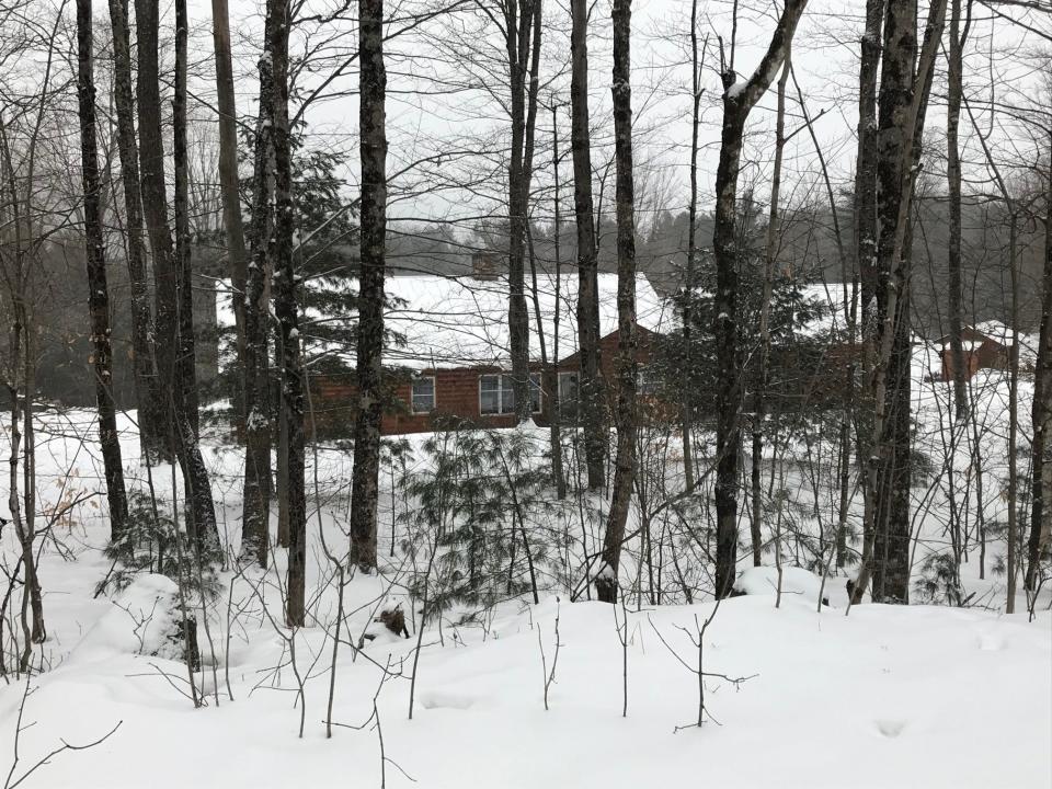
Snow, sleet to hit Champlain Valley; travel caution advised
Overnight snowfall may take the place of previously forecasted rain in the Champlain Valley, according the the National Weather Service in Burlington.
A winter weather warning is in effect from 7 p.m. Thursday to 1 p.m. Friday for Northern St. Lawrence, Northern Franklin and Southwestern St. Lawrence counties, all of which may see snow accumulations of 4 to 10 inches and ice accumulations of up to
one tenth of an inch, according to the National Weather Service.
Vermont will likely see less snow accumulation than what is expected to hit northern New York, but evening and morning commuters are advised to exercise caution as roads in the area are expected to be slick.
Hiking, skiing and more: Wintertime wheelchair-accessible recreation in Vermont
"As we move into the evening hours tonight we're going to see the low pressure system develop over the great lakes region and that's going to move on to the north east," Matthew Clay, meteorolgist with the National Weather Service in Burlington said.
Frosty beverage in the forecast?: Halvorson's serves up drinks on its bar made of snow
Colder air from the arctic will move into the region, causing a sharp temperature difference, Clay said.
Temperatures will drop from the low 50s on Thursday to a low of 9 degrees by Friday night.
Inspired by the snow and Winter Olympics?: Go cross-country skiing at these sites.
The highest snow amounts are expected in the northern St. Lawrence Valley near Massena, where localized accumulations up to 10+ inches are possible, according to the National Weather Service.
Summer Sorg is a reporter for the Burlington Free Press. Contact her at ssorg@freepressmedia.com.
This article originally appeared on Burlington Free Press: VT weather: Snow, sleet for Champlain Valley; travel caution advised

