Snowfall expected to continue through Friday; bitter temperatures next
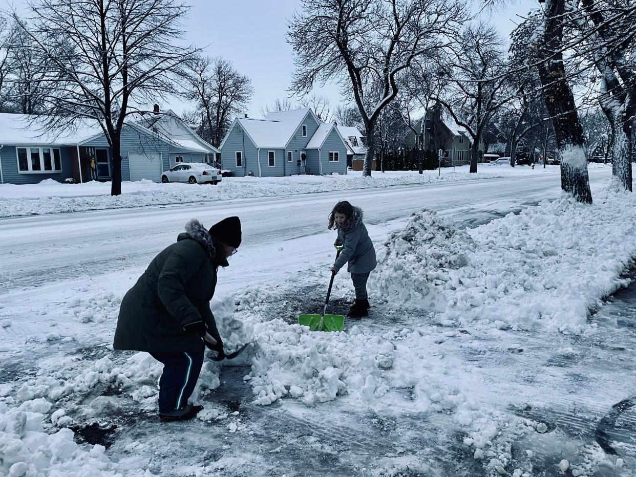
A slow-moving winter storm has hit South Dakota with many areas seeing several inches after the first full day of the storm. By the end of the week, some areas could see snow depths in the double digits.
A winter storm warning is in effect until noon Friday in northern South Dakota.
In Aberdeen, storm conditions started with misty conditions Monday evening that left a glaze of ice on the ground, but moisture in the air switched to snow by Tuesday morning. Snow continued off and on throughout the day with the most measurable accumulation Tuesday evening.
As of Wednesday morning, multiple communities had called snow alerts and students at K-12 schools were faced with a second consecutive day with schools closed. By the end of the day, schools started calling announcing schools would be closed for a third day on Thursday. Some state offices have also been closed much of the week.
With 5 inches of accumulation in Aberdeen as of Wednesday, a snow alert had not yet been called, although plows were out clearing the emergency routes.
As a rule, snow alerts in Aberdeen are declared and plowing is scheduled throughout the community once a storm is done, but for those living along a designated snow emergency route, parking on the street is prohibited after two inches of snow has accumulated.
Watertown had seen mostly ice with about an inch snow accumulation as of Wednesday. Snow and ice removal for Watertown’s downtown business district began at 4 a.m. Thursday.
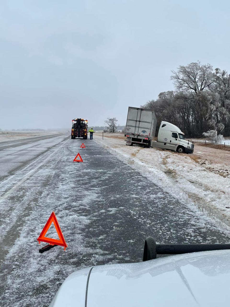
The icy conditions have caused several counties to issue no travel advisories and sections of I-90 and I-29 have been closed this week due to weather conditions.
By Wednesday afternoon, I-90 from Rapid City to Chamberlain was expected to remain closed and 1-90 from Chamberlain to Mitchell closed Wednesday afternoon. The state Department of Transportation also closed 1-29 from Watertown to the North Dakota border Wednesday evening.
This warning has been effective in keeping motorists and emergency responders safe. According to a report from the South Dakota Highway Patrol, from 4:30 p.m. Tuesday to 6 a.m. Wednesday, troopers statewide had responded to three crashes, eight motorist assists and three slide-ins where vehicles go off the road.
Codington County Sheriff's Department also has low numbers with only two slide-ins reported. Chief Deputy Sheriff Brent Solum said that these low numbers could be because there hasn't been significant snow accumulation in the median, which has allowed potential slide-ins to return to the roadway without reporting the incident.
"It also shows that people are heeding the no travel advisory, keeping themselves and our emergency responders safe," said Solum.
Brown County Chief Deputy Dave Lunzman said deputies have been called out to a few weather-related calls where drivers are stuck in the snow, but nothing serious. Visibility out in the county was about a mile as of mid-day on Wednesday but expected to decrease later in the day.
There have been some power outages in northeastern South Dakota according to the South Dakota Rural Electric Association. A map of outages on Wednesday morning showed the highest number of outages in Roberts County, but by mid-day many of those outages had been resolved. Other areas with a high number of outages were Day and Deuel counties.
Snowfall accumulation varies around the area
While Aberdeen had 5 inches of snow as of Wednesday morning, other areas saw more. Here's a look at snowfall totals around the area.
Faulkton — 11 inches
Westport (3 miles northwest) — 7 inches
Sisseton (3 miles east) — 9.2 inches
Webster — less than 1 inch of snow, but heavy ice accumulation.
Roscoe — 7.7 inches
Watertown — 1/4 to 1/2 of an inch of ice with about an inch of snow.
Travis Tarver, meteorologist for the National Weather Service in Aberdeen said more snow was expected through Friday. Aberdeen was expected to see another 6-7 inches by the time the storm winds down Friday and up to 6 inches was expected in Watertown.
"Every couple years we get storms like this," Tarver said of this long-duration storm. "This one will drop over a foot of snow in quite a few locations," he said.
Wind speeds also were expected to increase Thursday, Tarver said, which would reduce visibility.
As the storm winds down, however, temperatures will also start decreasing. Aberdeen's high on Friday is expected to be 18 degrees with even colder temperatures expected next week. Tarver said that's when temperatures are expected to be in the single digits.
This article originally appeared on Aberdeen News: Snowfall expected to continue through Friday; bitter temperatures next

