Snowpack in San Juan Mountains likely not enough to impact drought
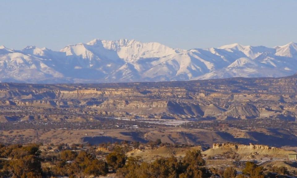
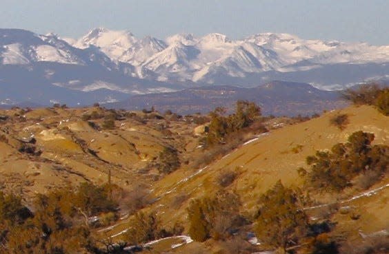
Despite a good start to the year precipitation wise in Farmington, the snowpack in the mountains of southwestern Colorado remains well below average, reducing the chances of a second straight year of abundant runoff for San Juan County rivers and streams.
According to the SNOTEL website operated by the U.S. Department of Agriculture that reports the snow water equivalent for river basins throughout Colorado, the San Miguel, Dolores, Animas and San Juan basin was only at 75% of average on Jan. 12, the most recent date for which data was available.
That figure was in the middle of the pack for basins across Colorado, none of which were close to average. The Upper Rio Grande basin was driest at 68%, while the Gunnison basin was the wettest at 81%.
That means all of those basins will need to see well-above-average precipitation for much of the rest of this winter just to erase that deficit, much less come close to matching last year’s snowpack, which was one for the ages. On May 18, 2023, SNOTEL reported the San Miguel, Dolores, Animas and San Juan rivers basin was at 200% of average — the highest of any basin in Colorado.
Runoff from that snowpack lasted well into July last summer, but Scott Overpeck, a meteorologist for the National Weather Service Office in Albuquerque, said the chances of that scenario repeating itself this year are increasingly iffy.
“As we go in through February, March and April, there are equal chances of above-average, average or below-average precipitation,” he said. “ … In other words, there’s no clear signal one direction or the other.”
With an El Nino pattern having set up in the eastern Pacific Ocean in the second half of 2023, optimism was high among some observers that the American Southwest would see its second good winter in a row this year. But that hasn’t turned out to be the case, despite the recent storms that left much of the Four Corners blanketed in powder for the first time this season.
As of Jan. 16, the Four Corners Regional Airport had received 0.47 inches of moisture in 2024. That was better than a 0.32 inches of precipitation that the airport averages for that date.
It also boosted the snow water equivalent for the San Miguel, Dolores, Animas and San Juan basin, which was hovering in percentiles in the low 60s when the new year began. So that series of storm made a dent in the snowpack deficit, but it still left plenty of ground to make up.
A poor start to this winter is to blame for that deficit. Most of San Juan County saw only a few dustings of snow in November and December, putting it behind the pace in the early going. That situation, coupled with a monsoon season last summer that essentially was nonexistent, has left the county in a familiar predicament — very dry.
Nearly 55% of San Juan County now is classified as being in extreme drought, the second-worst category, according to the U.S. Drought Monitor, while the remainder of the county is in severe drought, the third-worst category. Only three months ago, only approximately one-fourth of the county was in extreme drought. And a year ago, none of the county was in extreme drought.
The good news is, winter isn’t close to being over, and Overpeck said additional moisture could arrive in the Four Corners as soon as this weekend, with the chances of precipitation falling in Farmington ranging from 30% to 40% beginning on Saturday and lasting into Monday.
But anyone banking on a wet second half of winter in the Four Corners because this is an El Niño year would be well advised to reconsider their position, he said.
“That theory’s kind of out,” he said, explaining that historical data has demonstrated that El Niño years aren’t necessarily any more productive in late winter than they are in early winter.
Mike Easterling can be reached at 505-564-4610 or measterling@daily-times.com. Support local journalism with a digital subscription: http://bit.ly/2I6TU0e.
This article originally appeared on Farmington Daily Times: Snowpack rebounds with recent storms, but deficit remains high

