Storm brings new tornado risk in Southern California, NWS says
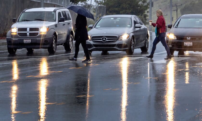
A new storm moved into Southern California on Wednesday, the latest in a series during a wet and snowy 2023.
Extreme weather warning
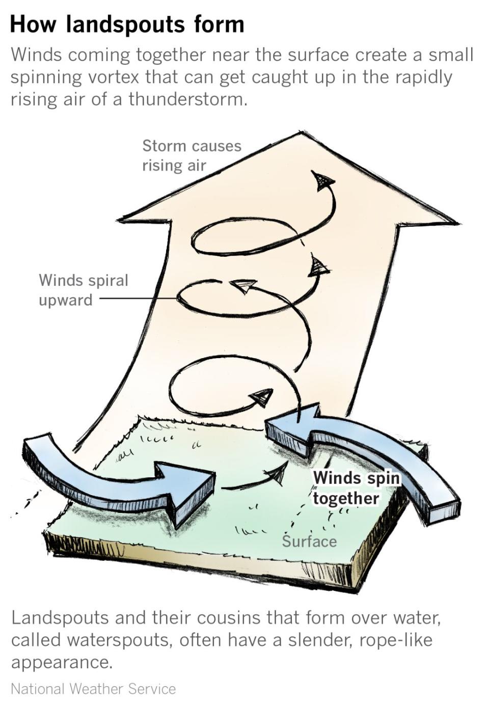
The National Weather Service warned that the incoming pattern was similar to a storm last week that produced tornadoes in Carpinteria and Montebello, with the highest risk of severe weather over coastal areas of San Luis Obispo, Santa Barbara, Ventura and L.A. counties.
“While there is a risk of small tornadoes, the chance of a tornado hitting any one particular location is extremely small,” the agency said. “If severe weather occurs, people should seek shelter in indoors, in the most interior room, away from windows.”
Forecast
Coastal and valley areas from San Luis Obispo to Los Angeles could get up to an inch of rain, while foothills and mountain areas could see up to 3 inches.
Rain rates of up to one-fourth of an inch per hour are expected, with isolated instances of half an inch per hour. Thunderstorms are possible.
The storm will also deliver snow, up to 8 inches at elevations above 5,000 feet. The Santa Barbara and Ventura County mountains could get up to 14 inches, with 18 inches possible in the L.A. County mountains.
Snow levels could drop to 3,000 to 4,000 feet later Wednesday.
Timeline
Wednesday: The main storm band will exit L.A. County early Wednesday afternoon, leaving a noticeable break in the rain before showers return later in the evening with a chance of thunderstorms over the area. There is a risk of waterspouts or small tornadoes.
A winter storm warning is in effect until 2 p.m. Thursday in the eastern San Gabriel Mountains, including the areas of Mt. Wilson, Mt. Baldy, Wrightwood and Angeles Crest Highway. Heavy snow is expected, with winds gusting as high as 45 mph.
A winter weather advisory is in effect until 2 p.m. Thursday in the western San Gabriel Mountains and Highway 14 corridor, including Acton, Warm Springs and Mill Creek, where up to 12 inches of snow is possible on higher peaks.
Thursday: Showers likely with a chance of thunderstorms. Most of the area should be dry by Thursday afternoon.
Friday: Dry and sunny.
Weekend: Sunny
Next week: Forecasters say another storm is possible.
Tips
This story originally appeared in Los Angeles Times.

