South Coast Rail stations coming to New Bedford — here's how it will affect neighborhoods
NEW BEDFORD — Say hello to TOD.
If you haven’t met, TOD is known to those conversant with development terms as “Transit-Oriented Development.”
And TOD is going to help shape the future of two changing New Bedford neighborhoods.
TOD “is a type of community development that includes a mixture of housing, office, retail and/or other amenities integrated into a walkable neighborhood and located within a half-mile of quality public transportation.”
That quality public transportation is on the way. The South Coast Rail Project will bring two new stations to the city – the North New Bedford (Church Street) and New Bedford (Whale’s Tooth parking lot) platforms.
Bridge, airport too: New Bedford makes a pitch to MassDOT for airport and bridge improvements
South Coast Rail is restoring commuter rail service between Boston and southeastern Massachusetts to link New Bedford, Fall River and Taunton to Boston. The trains are supposed to start running to the new stations by the end of 2023.
Public input sought
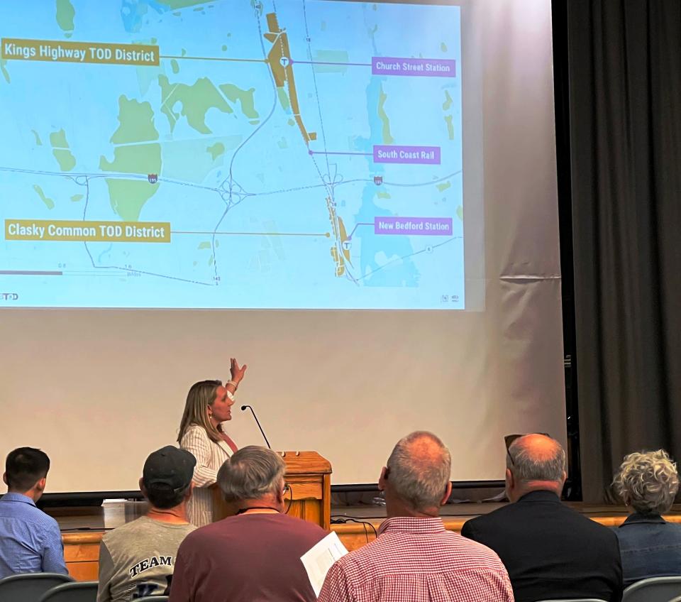
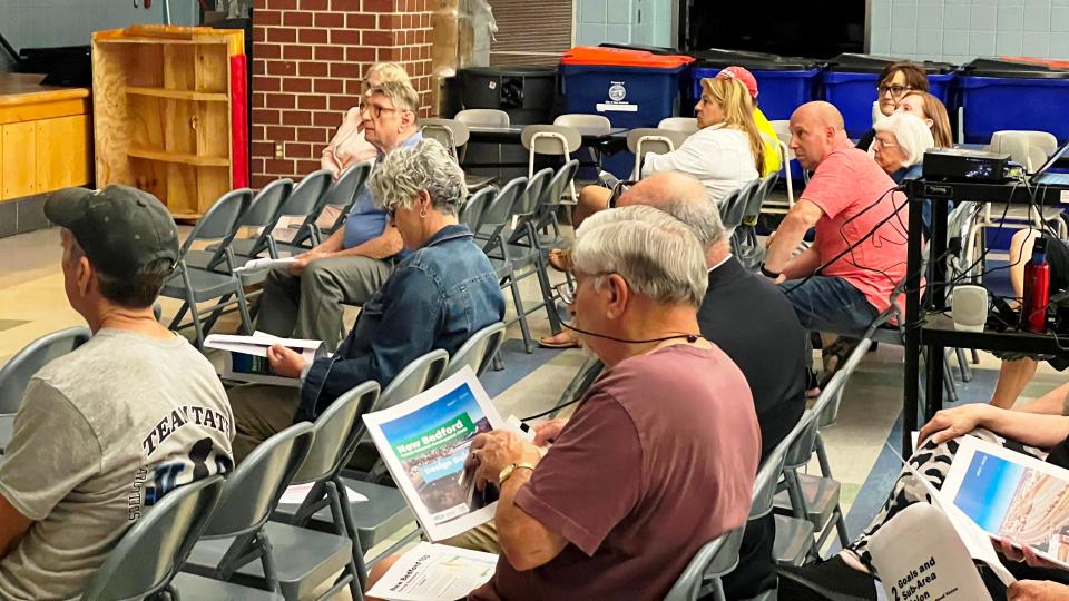
The city Planning Department, with help from the Southeastern Regional Planning and Economic Development District, is putting together the TOD study with input from residents and a virtual workshop held in April.
They held a live, in-person workshop Tuesday at the Normandin Middle School.
The approach has been to look at the existing conditions in the two neighborhoods, present the findings for public input, and then make recommendations for their future through TOD.
According to a brochure promoting the event Tuesday, TOD is “an approach to rethinking our neighborhoods as places we can walk, bike, and take transit, instead of driving. Usually, this means promoting mixed-use neighborhoods, where houses are next to businesses and stores, so everything is easy to walk to. It also means allowing more people to live and work in the area …”
Goals also include creating jobs and development opportunities, and increasing available housing at various price ranges — including affordable housing.
How to promote transit use
The idea is also to promote transit use – of course – and that entails creating walkable and bikeable friendly pathways. A desired byproduct would also be public and open green spaces, according to the city-SRPEDD team.
To attain these goals zoning overlay districts will be created. An overlay district adds new kinds of uses to the area in question, and development dimensional and design requirements. That includes building heights, lot coverage, and setbacks. Parking requirements are also included. The underlying zoning also remains in place for those wishing to develop under the current regulations.
What the overlay district means for neighborhoods
The overlay districts will be designed to encourage mixed-use, apartments and condos on the residential side; and offices, artist workshops, medical offices, and light-advanced manufacturing on the commercial side, according to the city-SRPEDD team.
Amenities can include cafes, restaurants, retail, hotel, microbreweries and community uses, according to the planners.
Design Standards and Guidelines have also been developed to supplement the zoning rules for development within the overlay districts.
Phillip Hu, SRPEDD comprehensive planner, said the idea was to be prepared and proactive about the development that comes with the rail stations. Development should foster neighborhoods where residents live and work and reduce their dependence on driving everywhere they need to go.
Jennifer Carloni, director of city planning, said the zoning updates and design guidelines serve to inform developers about what the city wants to see – and therefore allow – to come into the districts.
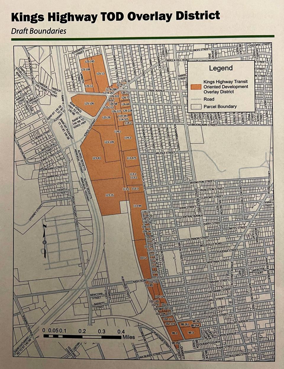
The Church Street platform overlay district will cover existing commercial and industrial areas around Church Street, but won’t affect the established residential area east of Church Street.
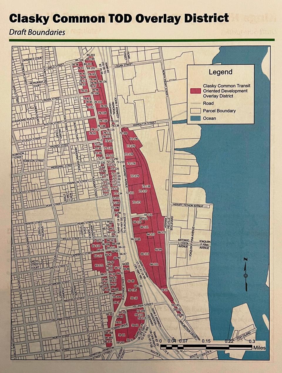
The Whale’s Tooth parking lot platform or Clasky Common overlay district will cover the area including the current Whale’s Tooth parking area and parts of some industrially and commercially zoned areas along Purchase Street.
This article originally appeared on Standard-Times: South Coast Rail stations to bring transit-oriented development

