South Florida still under a flood watch as Arlene weakens to post-tropical, nears Cuba
Tropical Storm Arlene has run the gamut Saturday. From tropical storm to tropical depression to post-tropical cyclone.
Its maximum sustained winds have dropped from 40 mph at 5 a.m. Saturday morning to 35 mph at 11 a.m. and in the National Hurricane Center’s 5 p.m. advisory — it’s last advisory on this system — winds were 30 mph.
Post-Tropical Cyclone #Arlene Advisory 10: Arlene Now a Remnant Low. This is the Last Advisory. https://t.co/tW4KeGe9uJ
— National Hurricane Center (@NHC_Atlantic) June 3, 2023
Arlene was still moving south-southeast near 7 mph about 135 miles west-southwest of the Dry Tortugas and on a track toward Cuba where it is expected to further weaken and dissipate over the weekend. The remnants should pass somewhere in the middle of Gulf waters between the Florida Keys and Cuba.
Isolated to scattered thunderstorms — a 50% chance — were expected in the Keys Saturday and Sunday, according to the National Weather Service in Key West.
Final advisory on Arlene (now a remnant low) has been issued by @NHC_Atlantic. Arlene is expected to dissipate Sunday in the distant Florida Straits, leading to elevated rain chances across the Keys & coastal waters tonight/Sunday AM.#flwx #FLKeys #FloridaKeys #KeyWest #Arlene pic.twitter.com/PeaBYD35mm
— NWS Key West (@NWSKeyWest) June 3, 2023
Arlene was forecast to degenerate into a remnant low by late Saturday, before dissipating, hurricane specialist John Cangialosi wrote in the earlier 11 a.m. advisory.
Here's the latest advisory for Tropical Storm Arlene. TS Arlene poses no threat to Florida as it tracks southeastward toward Cuba. #flwx pic.twitter.com/9Fgg7UMLnJ
— NWS Tampa Bay (@NWSTampaBay) June 3, 2023
What Arlene did Saturday
There are no coastal watches or warnings in effect for Arlene.
But rainfall amounts of 1 to 2 inches with localized higher amounts up to 5 inches were possible through Saturday across portions of the southern Florida Peninsula, the hurricane center said.
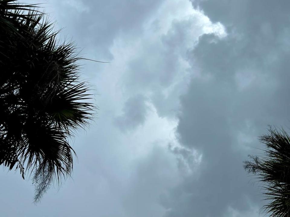
Saturday’s wet weather in South Florida brought hurricane-force gust wind to Fort Lauderdale airport and led to the partial collapse of an apartment duplex’s roof in West Park, displacing some families.
Severe thunderstorms moved through Hollywood, Hallandale Beach, Dania Beach and into Fort Lauderdale Saturday afternoon.
NEXT WEATHER ALERT. SEVERE THUNDERSTORM WARNING in effect. Move indoors and stay away from windows until the storm has passed if you are in the warning area. pic.twitter.com/iZKRGYdPPN
— CBS News Miami (@CBSMiami) June 3, 2023
Jun 3 @ 6 AM - Rain chances remain high today with strong thunderstorms possible. A Flood Watch continues for much of South Florida through at least this evening. Stay weather aware today! #FLwx pic.twitter.com/CdQ2XwFa96
— NWS Miami (@NWSMiami) June 3, 2023
The National Weather Service in Miami issued a severe thunderstorm statement Saturday morning, through noon, for areas including Homestead, Cutler Bay and Palmetto Bay. Winds of 40 mph and pea-sized hail were possible.
A special weather statement has been issued for Homestead FL, Cutler Bay FL and South Miami Heights FL until 12:00 PM EDT pic.twitter.com/cIj0LShZrH
— NWS Miami (@NWSMiami) June 3, 2023
Another was issued for Doral, Westchester, Hialeah, Miami Gardens and North Miami, with the same conditions, through 12:45 p.m. Saturday.
A special weather statement has been issued for Hialeah FL, Miami Gardens FL and North Miami FL until 12:45 PM EDT pic.twitter.com/bpQiyACvNJ
— NWS Miami (@NWSMiami) June 3, 2023
Flood watch
The Miami weather service issued a flood watch Wednesday for South Florida that was extended through Sunday.
Affected areas included:
▪ Coastal Miami-Dade, Broward and Palm Beach counties
▪ Far South Miami-Dade
▪ Inland Miami-Dade, Broward and Palm Beach counties
▪ Metro Miami-Dade, Broward and Palm Beach counties
▪ Glades and Hendry counties
Hourly rain percentage watch
Miami-Dade and Broward’s 48-hour hourly outlook Saturday for rain or storm percentages, according to the weather service.
9 p.m. Saturday: 41%
9 a.m.: Sunday: 60%
Noon Sunday: 63%
3 p.m. Sunday: 71%.
6 p.m. Sunday: 67%.
How much more rain will the Miami area see over the weekend? What the forecast says

