Southwest Colorado snowpack in good shape as spring begins in New Mexico, new storm arrives
It took nearly all winter to get there, but the snow-water equivalent in the snowpack of the mountains of southwest Colorado now registers as above normal for the first time this season.
A series of storms that blew through the Four Corners area over St. Patrick’s Day weekend was responsible for that final push after the snowpack had hovered at normal or near normal for the better part of the last month. Most of San Juan County, and many other locations in the region, saw significant rain or snow for three straight days beginning Friday, March 15 and continuing through Sunday, March 17.
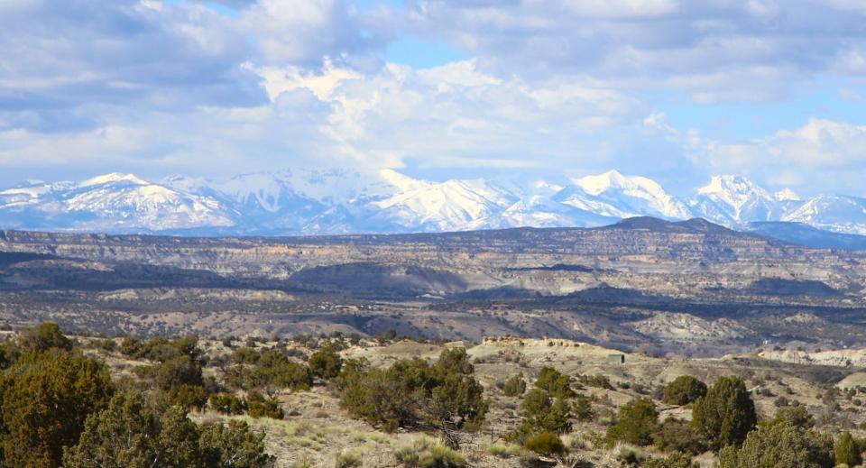
According to the Colorado SNOTEL map maintained by the U.S. Department of Agriculture’s Natural Resources Conservation Service, the San Miguel-Dolores-Animas-San Juan rivers basin in southwest Colorado was showing a snow-water equivalent of 103% of normal on March 17.
A week earlier, that figure had been at 90%. But the region appeared poised to welcome the first day of spring this week with a slight cushion in its snowpack, relieving worries about the quantity of this year’s runoff, at least for now.
San Juan county gets 'generous helping' of rain
“This was an interesting event,” said Bladen Breitreiter, a meteorologist with the National Weather Service office in Albuquerque, noting that the relatively warm temperatures meant most of that moisture fell as rain in San Juan County, although there was plenty of snow in the higher elevations west, north and east of the county.
“You had a lot of mix going on,” he said. “But it was a pretty generous helping.”
More: Indicators point to 'normal' wildfire season in San Juan County—for now
While precipitation totals varied widely across the county, the Four Corners Regional Airport — the official reporting site for Farmington — fared well. It registered 0.34 inches of rain Friday, 0.25 inches on Saturday and 0.28 on Sunday. That represented a total of 0.87 inches for the weekend.
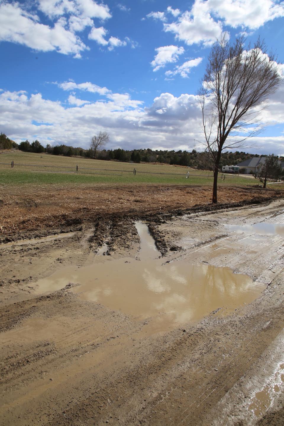
That brought the year-to-date total at the airport to 1.67 inches, just shy of the 1.75 inches the airport normally sees by March 18.
Breitreiter noted that on March 12, the airport had seen only 0.89 inches for the year. So, the last week went a long way toward erasing what had been a significant dry spell.
Breitreiter pointed to other parts of the county that shared the precipitation wealth:
Navajo Dam saw 0.75 inches of moisture on Sunday.
The Aztec area saw 0.28 inches of rain on Friday, 0.39 inches on Saturday and another quarter-inch on Sunday.
Toadlena in western San Juan County near the Chuska Mountains saw a significant amount of snowfall.
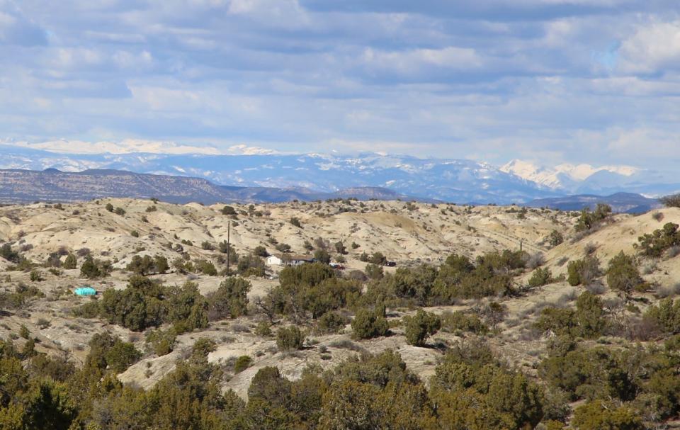
Rio Grande River, Colorado River basins' water picture
Last weekend’s storms also left a good deal of snow across Colorado, meaning the snow-water equivalent in each of that state’s eight river basins is now above normal for the first time this year — including the upper Rio Grande River basin, which was at 101% on March 17 after registering at well below normal for much of the winter.
The news was even better for the headwaters of the Colorado River, as that basin was at 107% of normal on March 17 – a welcome development for the seven western states, including New Mexico, that are members of the Colorado River Compact, the agreement that governs water use for much of the Southwest.
While clear skies and higher temperatures had returned to San Juan County by Monday, March 18, Breitreiter said the Four Corners could be in line for additional moisture in the days ahead.
“That active (weather) pattern is definitely going to continue,” he said, explaining another storm system is due to move into the area this weekend. “By Saturday night, you could have another big one on the docket.”
Mike Easterling can be reached at 505-564-4610 or measterling@daily-times.com. Support local journalism with a digital subscription: http://bit.ly/2I6TU0e.
This article originally appeared on Farmington Daily Times: Southwest Colorado snowpack above normal, spring storm in forecast

