Speed enforced by aircraft? Here’s how it actually works, California Highway Patrol says
“How does an aircraft pull you over?” Facebook users asked Stockton unit of the California Highway Patrol in the department’s “weird Wednesday,” a weekly user-submitted Q&A game.
The answer: It doesn’t. Aircraft don’t exactly measure the speed of cars, either, according to CHP.
“Speed enforced by aircraft” signs are posted along highways throughout Stanislaus County. We all see them, but how many of us know what they mean?
Here’s how it all really works:
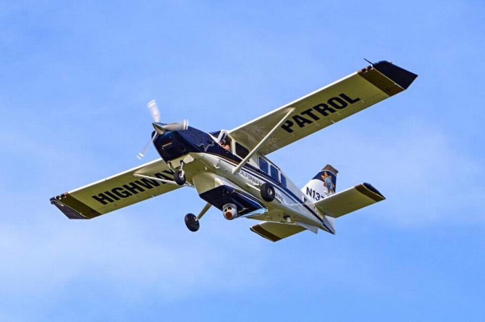
How speed limits are enforced by aircraft
Highway patrol fixed-wing airplanes partner with ground units to make traffic stops of speeding vehicles, according to CHP.
Several patrol cars will be staged at a specific location along the right-hand shoulder of the freeway, waiting for CHP Air to communicate information like a vehicle’s color, make, model and lane position, Stockton CHP said in a Facebook post.
“The aircraft uses markings along the right hand shoulder to mark and measure distance,” the post read.
Some math is done, and the speed of the targeted vehicle is determined, according to CHP. Patrol vehicles can then pull over the correct vehicle.
In 2017, The Modesto Bee reported that the aircraft were primarily being used for assistance in crimes or vehicle pursuits. Regular operation can be costly, The Bee wrote, but CHP would still use them ”several times a month for commercial vehicle enforcement operations” and would certainly send a signal to the ground for cars that were, for example, weaving in and out of traffic.
The planes also provide a broader perspective, flying at roughly 6,000 feet, The Bee reported.
Have a question for our service journalist? Email servicejournalists@modbee.com.

