State of Michigan to aerial map Branch County this spring
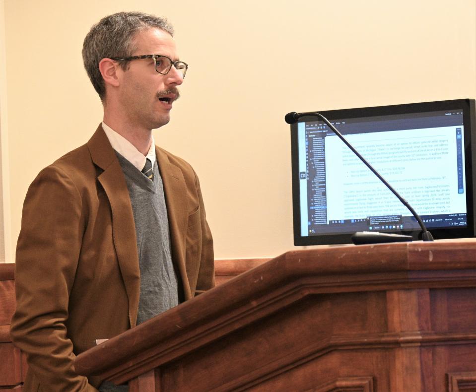
COLDWATER — The city, local governments and Branch County will switch to the state aerial photo survey to update GIS maps this year, the Coldwater City Council decided Monday night, Feb. 13.
Coldwater operates the county-wide GIS — Geospatial Information Services.
“We will not do our own with the state flying,” newly named manager Dean Walrack said.
Walrack said the shift will provide a 60% savings.
The current 2018 aerial photo maps are so old that Clemens pork plant, which opened in 2017, is not shown.

Walrack said the state will provide free updated aerial imagery for parcel, street centerline and address point layers through the MiSAIL program.
The state flies low-level planes with aerial cameras in a quarter of the state each year for its own mapping using a 12-inch pixel resolution.
Walrack said the city, with its services into Coldwater Township, needs upgraded imagery of 6-inch resolution for Branch County and 3-inch resolution for Coldwater Township including the city. That will cost $39,462 for the more detailed maps.
Walrack said he does not want to replace the private aerial firm the city has used Eagleview/Pictometry. The Coldwater Board of Public Utilities just approved a contract of $101,815 to fly the county this spring for use for utility services as well as assessments.
Walrack recommended delaying the Eagleview contract until at least the spring of 2025 staggering flights in 4-year intervals alternating both organizations to keep aerials updated on a two-year basis.
Walrack said the state aerial map system lacks tools the city uses. Eagelview has oblique imagery. taken at a diagonal which “allows staff to measure height and vertical areas of building and other features” from the images rather than actual on-ground surveys.
Change Finder illustrates changes between aerials, essentially comparing new buildings or demolitions between different years’ aerials.
“In 2018 at a cost of $5,139, we were able to realize a roughly $25,000" change in value on construction to add to the tax rolls. “It would have otherwise been missed.”
Using the system saves valuable staff field time.
Subscribe Follow local government. Subscribe to the Daily Reporter.
Besides the Coldwater city government, CBPU, and many township assessors, the 911 emergency services used the GIS map for dispatch. Walrack added “there is no personal information collected” by the aerial photo mapping
GIS maps are available online and are of better quality with more detail than Google maps.
— Contact Don Reid: dReid@Gannett.com. Follow him on Twitter: @DReidTDR.
This article originally appeared on Coldwater Daily Reporter: State of Michigan to aerial map Branch County this spring

