Storm to bring chilly temperatures to L.A. County's high desert and mountain areas
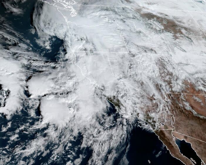
A major storm system arriving early Monday morning in Los Angeles County is expected to bring freezing temperatures to the Antelope Valley and mountain areas.
Based on the National Weather Service's forecast, the county's health officer issued a cold weather alert for the Lancaster and Mt. Wilson areas beginning Tuesday and Wednesday. Wind-chill temperatures are expected to be below 32 degrees.
"Those interior valleys and mountain areas will be quite chilly behind this system," said Todd Hall, a meteorologist with the NWS in Oxnard.
Vulnerable populations should seek shelter or public facilities to say warm, said Muntu Davis, L.A. County's health officer. The L.A. Homeless Services Authority has a winter shelter program; information can be found at lahsa.org or by calling the county information line at 211.
“Children, the elderly and people with disabilities or special medical needs are especially vulnerable during cold weather. Extra precaution should be taken to ensure they don’t get too cold when they are outside,” Davis said.
Light to moderate rain is expected to begin in the early morning Monday, with heavier precipitation developing later in the day, Hall said.
The weather service has issued a flash flood watch for a large swath of L.A. County from Monday to Tuesday evening.
"That’s when we are expecting rainfall to turn heavy," Hall said.
Urban flooding is possible, and small creeks might overflow their banks. There is a possibility of thunderstorms, which have the potential to bring even heavier downpours, he said. The weather service is forecasting 2 to 4 inches of rain along the coast and valleys and 4 to 8 inches in the mountains.
At the storm's peak, rainfall could reach 1 inch per hour.
The ground in Southern California is waterlogged from several weeks of successive storms, making flooding more likely.
"We are seeing saturation in some watersheds, and we are starting to see more excessive runoff," Hall said.
Residents should be on the lookout for debris flows in the Fish Lake, Route, Bobcat and Ranch fire burn areas.
Snow is expected to fall above 7,500 feet, and wind gusts at high elevations may exceed 70 miles per hour.
"This is going to be a windy system, with high surf at local beaches and very strong winds in the mountains," Hall said.
Another storm is predicted to descend on Southern California next weekend.
This story originally appeared in Los Angeles Times.

