Storm Evert: Warning for staycationers and campers as 75mph winds to batter south coast
Holidaymakers have been warned to avoid driving on coastal roads and open moors and take care when camping as the first named storm of this summer approaches the southwest of England.
An amber wind warming was issued by the Met Office for much of Cornwall, as well as the Isles of Scilly, where Storm Evert is expected to bring gusts of 75mph by Friday morning.
Other coastal areas are also likely to see disruption from strong winds, with yellow warnings in place for the rest of the southwest, southern Wales and the southern coast of England.
Met Office Principal Operational Meteorologist Dan Suri said the winds “brings the potential for some impacts, especially for those that might be travelling or camping in the weather.”
The Met Office said Storm Evert was not expected to be a particularly fierce one for the UK, but posed a greater threat this time of year because of the amount of people out on holiday, or in their gardens, as well as the foliage on the trees.
#StormEvert has been named and is forecast to bring unseasonably strong winds and heavy rain to southern parts of the UK later today and into Friday #weatheraware pic.twitter.com/O75aWu2iLd
— Met Office (@metoffice) July 29, 2021
"We name storms when we are expecting a good chance of disruption and with this one the threshold is lower because people are out camping and in their gardens with furniture out, and trees are in full leaf," said Craig Snell, a Met Office forecaster. "Hypothetically if it had happened in January or February it may have been below the naming threshold."
RAC Breakdown spokesman Rod Dennis warned drivers to take care. "The arrival of a summer storm to the South West could take drivers – and indeed all holidaymakers in the region – by surprise," he said.
"The sheer strength of the wind coupled with huge volumes of traffic will make driving conditions hazardous, particularly for those towing caravans and trailers.
"We strongly recommend drivers check over their vehicles before setting out – ensuring roofboxes are firmly secured – and try to avoid exposed coastal and moorland routes where the impacts of the wind on driving will be the greatest.
"Drivers should reduce their speeds accordingly to help ensure they complete their journeys safely."
Storm Evert is the first to be named in July since the Met Office began its naming system in 2015. But if follows two summer storms in August last year, when Storm Ellen and Storm Francis hit the country.
75mph winds and heavy rain to batter southern UK until Friday
Winds of up to 75mph are set to lash parts of the South West as Storm Evert hits the UK on Thursday and Friday.
The Met Office said the newly named storm will bring "unseasonably strong winds and heavy rain".
Warnings are in place for parts of the south of England and Wales, with warnings of possible damage to infrastructure and travel disruption.
Forecasters announced Evert as the name for the storm on Thursday morning, advising the public to be "weather aware". In the animated map below, you can see Storm Evert approaching the UK from the south-west.
They predicted some coastal and hilly areas will see wind gusts of between 45mph and 55mph, rising to 65-75mph gusts across Cornwall.
The naming of Storm Evert comes on the day the Government announced that more than £860 million is to be invested in flood prevention schemes across the UK over the next year.
Evert is only the third storm to be named this year, after Christoph in January and Darcy in February.
Britain has been ravaged by extreme weather in the past couple of weeks, with a heatwave and the first ever extreme heat warning by the Met Office making way for flash flooding in London.
What to expect from Storm Evert?
Storm Evert will bring very strong winds to southwest England, perhaps causing damage to infrastructure and leading to travel disruption.
Probably some damage to buildings, such as tiles blown from roofs. There may also be some fallen trees and damage to temporary outdoor structures is probable
Longer journey times and cancellations likely, as road, rail, air and ferry services may be affected
Some roads and bridges likely to close
There is a good chance that power cuts may occur, with the potential to affect other services, such as mobile phone coverage
Flying debris is likely and could lead to Injuries or danger to life
Injuries and danger to life is likely from large waves and beach material being thrown onto coastal roads, sea fronts and properties
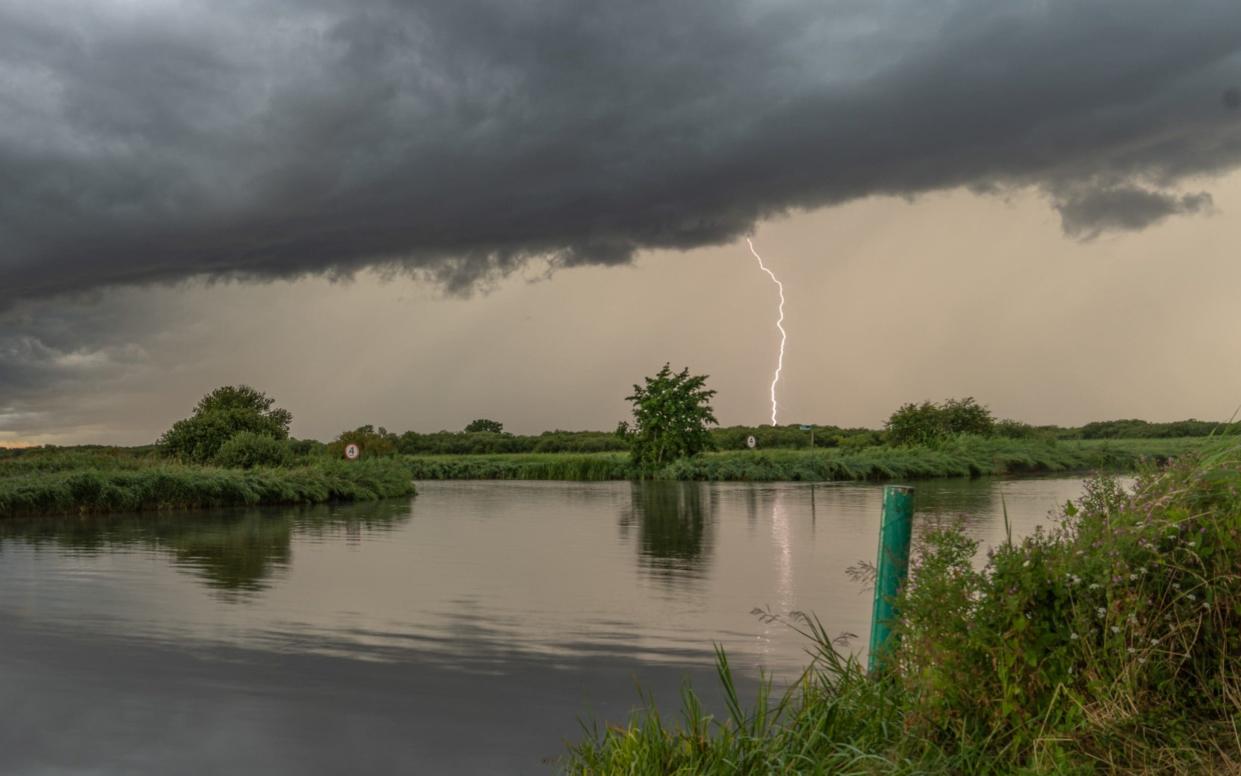
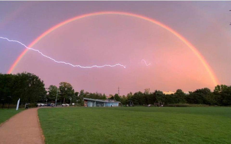
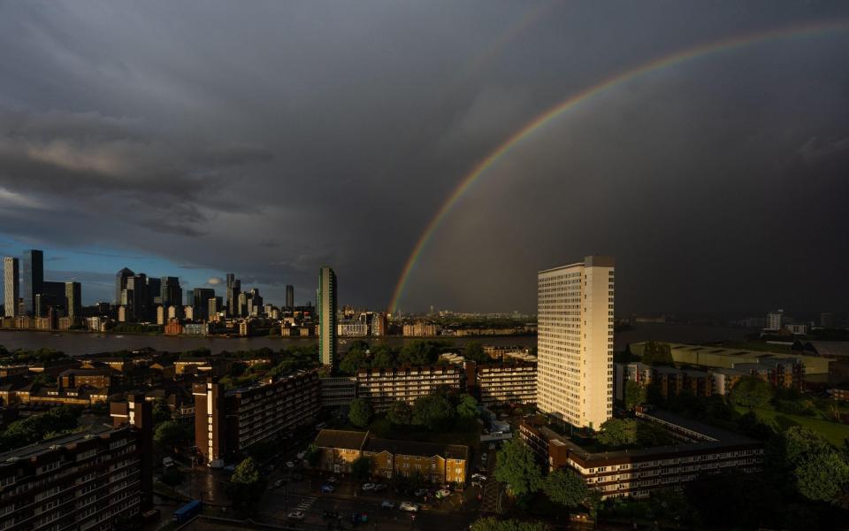
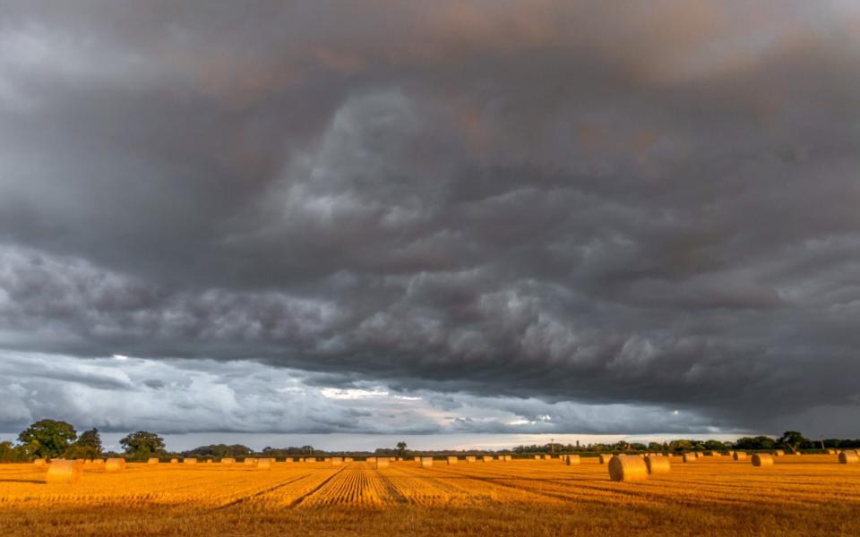
The calm before the storm, in pictures
Why do we have a Dutch-named storm?
In 2019, the Met Office and Met Éireann welcomed KNMI - the national weather forecasting service in the Netherlands - to the west Europe group.
Other European countries to name impactful storms independently include France, Spain and Portugal in south-west Europe and Sweden, Norway and Denmark in northern Europe.
In August 2020, Gerard van der Steenhoven, Director General at Royal Netherlands Meteorological Institute (KNMI) said: "We gladly continue our collaboration with the UK Met Office and Met Éireann on storm forecasting.
"As storms are not confined to national borders, it makes a lot of sense to give common names to such extreme weather events.
"As many people often travel between our countries, the use of common names will make it a lot easier for them to appreciate the hazards represented by a large storm system.
"For us at KNMI, it is a great privilege and advantage to work in close co-operation with our colleagues from Ireland and the UK in the communication about storms."
What's in a name?
Evert, pronounced Eh-Vert, is a Dutch boy's name meaning "brave, strong boar" or "shepherd".
It is derived from the Old English names Ewert and Everett.
Perhaps unsurprisingly, there is no data for the name in the most popular boys' names in the UK.
A storm will be named on the basis of 'medium' or 'high' potential impacts from wind but also include the potential impacts of rain and snow.
So storms will be named for weather systems which is expected to result in the Met Office issuing an amber or red warning.
These two warnings carry a potential risk to life.
Why do storms need names?
There's nothing British people enjoy more than talking about the weather and in 2015, they were given the chance to develop an even closer connection by giving names to major weather systems affecting the UK and Ireland.
In September 2016, the Met Office invited members of the public to submit names for storms for autumn/winter 2015/16 by social media.
The idea behind the pilot project was to help raise awareness of severe weather before it strikes and to ensure greater safety of the public.
Attaching a name to a weather event has been found to help people track its progress, to allow people to prepare for and avoid danger and to make it easier to reference on social media.
Didn't we already give names to storms?
Before the new system was introduced, naming was random, with the same storm sometimes being referred to by several different names.
The St Jude's Storm of October 2013, which led to the deaths of four people, was so-called because it was due to arrive on St Jude's Day.
In Britain, we also hear about a number of ex-hurricanes that arrive at our shores from across the Atlantic.
Since 1953, Atlantic tropical storms have been named from lists originated by the National Hurricane Center. These lists are maintained and updated every year by the international committee of the World Meteorological Organization. There are six lists that are used in rotation.
As with the US system, the new naming system in Britain runs through the alphabet with alternate male and female names.
There are no storms that begin with the less common letters Q, U, X, Y or Z.
The only time that there is a change in the list is if a storm is particularly deadly or costly, such as Hurricane Katrina, which claimed nearly 2,000 lives in the United States and caused more than £65 billion in damage.
If a storm is the remnants of a tropical storm or hurricane that has moved across the Atlantic, the already established method of referring to it as, for example "Ex-hurricane X", will continue.
Your weather forecast
Want the best of The Telegraph direct to your email and WhatsApp? Sign up to our free twice-daily Front Page newsletter and new audio briefings.

