Storms brought record rains to Kansas City area Sunday. See where totals were highest
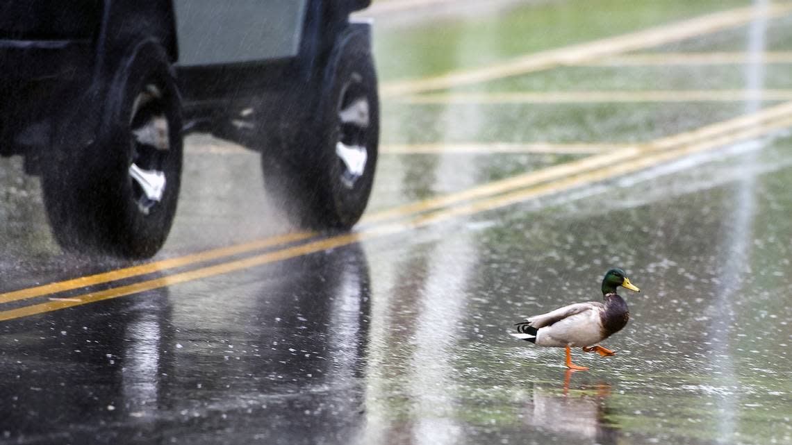
Thunderstorms that swept through the Kansas City area Sunday brought heavy rains that soaked the metro and surrounding areas, bringing record rainfall to some areas.
At Kansas City International Airport (MCI), 2.91 inches of rain fell, breaking the previous record of 2.71 for Aug. 13 set back in 2005, the National Weather Service in Kansas City said on X, formerly known on Twitter.
Because of the storms, Sunday became the 12th wettest day in Kansas City for any August day on record dating back to 1888, the weather service said.
The wettest August day was on Aug. 15, 1969, when 7.45 inches of rain fell, according to data from the National Oceanic and Atmospheric Administration’s Regional Climate Centers. In more recent history, the wettest August day was Aug. 21, 2017, when 4.08 inches of rain fell.
Record rainfall also was reported in St. Joseph. On Sunday, 3.26 inches of rain fell there, setting a new record for the wettest Aug. 13. The previous record was 2.87 inches set in 1982.
“The 3.26 inches that fell today (Sunday) was also good enough for the 7th wettest for any August day on record in St. Joseph dating back to 1897,” the weather service said on X, the social media site formerly known as Twitter. The wettest August day was Aug. 24, 2007 when 4.12 inches of rain fell, according climate data.
Kansas City area rainfall totals
There were parts of the metro area that saw even higher rainfall totals, according to rainfall data from StormWatch.com, an early warning system for flash flooding that relies on remote weather stations through the Kansas city area.
Areas in Kansas City’s Northland saw more than 4 inches of rainfall, according StormWatch. A gauge along Rock Creak near Northeast Vivion Road and North Highland Avenue in Kansas City, North, reported that 4.26 inches of rain fell on Sunday.
Meanwhile, 4.22 inches of rain was reported along Mill Creek at North Palmer Street in Claycomo and 4.02 inches of rain along east fork of Shoal Creek near Missouri 152 highway in Kansas City North.
Rainfall totals across the metro included 3.06 inches of rain at the Wheeler Downtown Airport, also setting a record for daily rainfall; 1.72 inches at Lee’s Summit Municipal Airport and NewCentury AirCenter in Johnson County; 1.46 inches in Sedalia; and 1.05 inches at Johnson County Executive Airport.
The heavy rains caused some minor flooding concerns along Fishing River near Mosby, Missouri. A flood warning for the area was canceled Sunday night.
A flood warning for the Platte River near the village of Agency in Buchanan County, Missouri, remains in effect until Wednesday morning. Minor flooding is occurring.
At 3:30 a.m. Monday, the river was at 20.1 feet and was expected to crest at 21 feet Monday afternoon. Flood stage is 20 feet and low lying areas east of agency were beginning to flood.
Drier and cooler weather is expected for the work week, with temperatures on Monday and Tuesday being in the mid-70s, about 10 to 15 degrees below normal. Conditions are expected to return to near normal by the end of the week, the weather service said.

