Storms could unleash golf ball-sized hail, damaging winds, tornadoes in Kansas City area
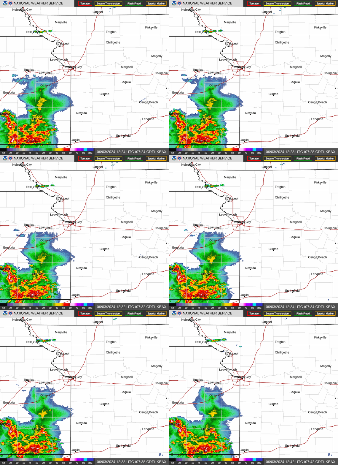
A potentially dangerous and damaging night is possible as severe storms likely will develop in north-central and northeast Kansas and push their way through the Kansas City area Wednesday night, according to the National Weather Service.
The strong to severe thunderstorms could unleash hail the size of golf balls or larger, damaging winds of 60 to 70 mph, a tornado or two, and heavy downpours that lead to flash flooding, the weather service said.
“Please remain weather aware and have multiple ways to receive updated information,” the weather service said.
The storms are expected to develop after 5 p.m. and expand across the Kansas City region between 7 and 9 p.m. The storms are expected to continue overnight and linger into Wednesday morning.

The weather service’s Storm Prediction Center upgraded the severe weather risk for the Kansas City area. The metro is now at an enhanced risk of severe thunderstorms, indicating numerous severe storms are possible.
Some supercells — large thunderstorms with deep and persistent rotating updrafts that look like tall storm clouds with anvils or elongated clouds at the top, are possible Wednesday evening.
“It still appears the greatest concentration of severe risk will be across northeast Kansas into northwestern Missouri within the ‘Enhanced’ Risk, but eastward increased-risk adjustments have otherwise been made across eastern Missouri,” the Storm Prediction Center said.
There’s a slight risk of severe weather Thursday, as storms are expected to redevelop east of Interstate 35 in the afternoon and continue into the evening.
The primary threat will be large hail and damaging winds. The tornado threat on Thursday is low.
