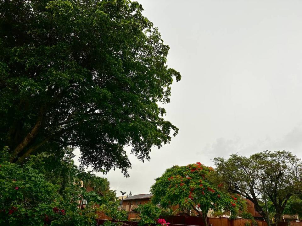
Stormy weather moves over South Florida and the Keys. How long will rain relief last?
The Saharan dust has moved out and a tropical wave near the Bahamas is pushing moisture toward South Florida, says meteorologist KC Sherman with Miami Herald news partner CBS News Miami.
“We’re going to transition into a more active weather pattern with more rain chances,” she said Wednesday morning.
The wave is no longer on the National Hurricane Center’s forecast map given it has no development chances.
KNOW MORE: Hurricane center tracking new wave in the Eastern Atlantic. What the forecast says
But a pair of upper-level lows and a surface trough will lead to several days of unsettled skies, according to the National Weather Service in Miami.
An active weather pattern is on tap for South Florida over the next few days courtesy of a pair of Upper-Level-Lows and a surface trough. With this combination, divergence aloft will allow for widespread rainfall through Friday night. #FLwx pic.twitter.com/sBoO0jImj9
— NWS Miami (@NWSMiami) July 26, 2023
When do the storms start
Wednesday morning already saw its first weather statement for an area stretching from Princeton to Cutler Bay, Palmetto Bay, Kendall and Coral Gables. The areas saw a row of thunderstorms with wind gusts of 40 mph move through until around 9 a.m.
More moisture arrives through Wednesday into the evening, Sherman said.
The chances of showers and thunderstorms in South Florida peak on Thursday, the weather service added, but remain elevated into the weekend.
“The strongest thunderstorms could contain heavy downpours and gusty winds. The potential for localized flooding will increase towards the end of the week as moisture continues to increase across the region,” the service said.
▪ Wednesday storm chance: 50%-60%.
▪ Thursday storm chance: 80%-50%.
▪ Friday storm chance: 60%-40%.
▪ Saturday storm chance: 40%.
▪ Sunday storm chance: 30%.
▪ Monday storm chance: 40%.
Scattered thunderstorms are also forecast for the Keys, with Wednesday and Thursday the wettest, with a 60% rain chance. Friday has a 50% chances and the Saturday and Sunday dip to 40% and 30%, respectively, according to the weather service in Key West.
Flood watch issued overnight
A flood watch will be put in effect Wednesday night for Miami-Dade, Broward and Palm Beach counties as thunderstorms are expected to come down hard.
The watch will start at 8 p.m. and last until Thursday evening. It specifically covers the coastal areas of Broward and Palm Beach, but the majority of Miami-Dade, the National Weather Service said.
Forecasters say showers and thunderstorms over the last few days have saturated the ground leading to water runoff to occur when more rain comes. This excessive runoff may cause flooding of rivers, creeks, streams and flood-prone areas. Extensive street flooding is also a possibility.
Weather models are showing that an additional two to four inches of rain will come down through Thursday evening. If more rain follows, there will be more flooding concerns.
What about the heat advisory?
The cloud coverage and rain suggests South Florida may not break high temperature records — the record high for July 26 in Miami was 97 in 1983, 40 years ago, according to Extreme Weather Watch.
But Wednesday’s high, according to Sherman is 93. Her forecast highs into early next week:
▪ Thursday’s high should be 90.
▪ Friday 91.
▪ Saturday 92.
▪ Sunday through Tuesday, 93.
The heat advisory issued by the weather service on Tuesday remains in effect Wednesday given possible heat index values of 106. The advisory remains until 8 p.m. Wednesday.


