Straight-line winds, pop-up tornadoes are possible in the Springfield area early Monday
![A tornado warned storm moves across County Road 15 1/2 just southeast of Ashland, Ill., Monday, October 11, 2021. [Justin L. Fowler/The State Journal-Register]](https://s.yimg.com/ny/api/res/1.2/j3Kel9rrGUwwpawNHGEB.A--/YXBwaWQ9aGlnaGxhbmRlcjt3PTEyNDI7aD04MDU-/https://media.zenfs.com/en/the-state-journal-register/edfa3f8c306c95d75de8412ac6813458)
The start of the work week in the Springfield area could be greeted with severe weather in the forms of possible damaging straight-line winds and pop-up tornadoes, according to the National Weather Service in Lincoln.
The window for the stronger storms is from 4 to 8 a.m. Monday, said NWS meteorologist Alex Erwin.
A wind advisory has been issued for Sangamon County that runs from 3 a.m. to 6 p.m. Monday.
More:Parts of MacArthur Boulevard to be closed starting Monday for water main repair
Cass, Christian, Logan, Menard, Morgan, and Scott counties are also under the advisory.
Winds could gust up to 60 miles per hour, particularly in the 4 to 8 a.m. period.
"With the system, there are some stronger winds above the (ground) surface, so when we have thunderstorms, some of those winds can get transported down to the surface and result in strong wind gusts," Erwin said. "We do have conditions that would be favorable for maybe a few (tornadoes) with a few of those storms."
Any lightweight outdoor objects should be secured, Erwin said. Some sporadic downed tree limbs and downed power lines could be possible, he added.
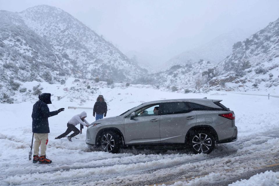
The system predicted to move into the Springfield area is the same one that dumped snow and rain on California, Erwin said.
It was one of the worst storms ever to hit southwest California, according to the NWS, with some mountainous regions getting close to eight feet of snow over several days.
Springfield area temperatures will be in the 50s early in the week and touching 60 Wednesday, but that could give way to accumulating snow Thursday night and into Friday. No amounts have been detailed yet.
"We're still pretty far out with that one," Erwin said. "We need a little more confidence to start putting a number to it."
Contact Steven Spearie: (217) 622-1788, sspearie@sj-r.com, twitter.com/@StevenSpearie.
This article originally appeared on State Journal-Register: Severe weather is possible for the Springfield IL area Monday morning

