Strengthened storm left more snow than expected across the metro-east. What happened?
Weather forecasters Thursday night saw the likelihood of maybe a dusting of snow across most of the metro-east Friday, with higher totals to the north.
But the system picked up some steam as it reached St. Louis leading to higher more precipitation than initially expected, said Melissa Byrd, a meteorologist with the National Weather Service office in St. Louis.
“We were expecting maybe an inch and higher amounts to the north, but as the system exits (the region) it has picked up strength,” she said. “More strength, more snow.”
As of 1 p.m. Friday, about an inch and a half was recorded in Collinsville. Two inches were measured in Belleville a half hour later.
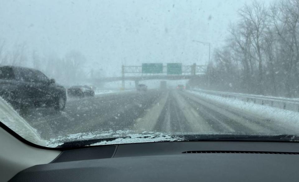
Along Interstate 255, a BND reporter observed “white-out conditions” with a slushy white frosting over the pavement. Traffic was moving at about 40 mph. Illinois and Missouri departments of transportation live traffic maps showed slow moving on all interstates acorss the region at 1:50 p.m.
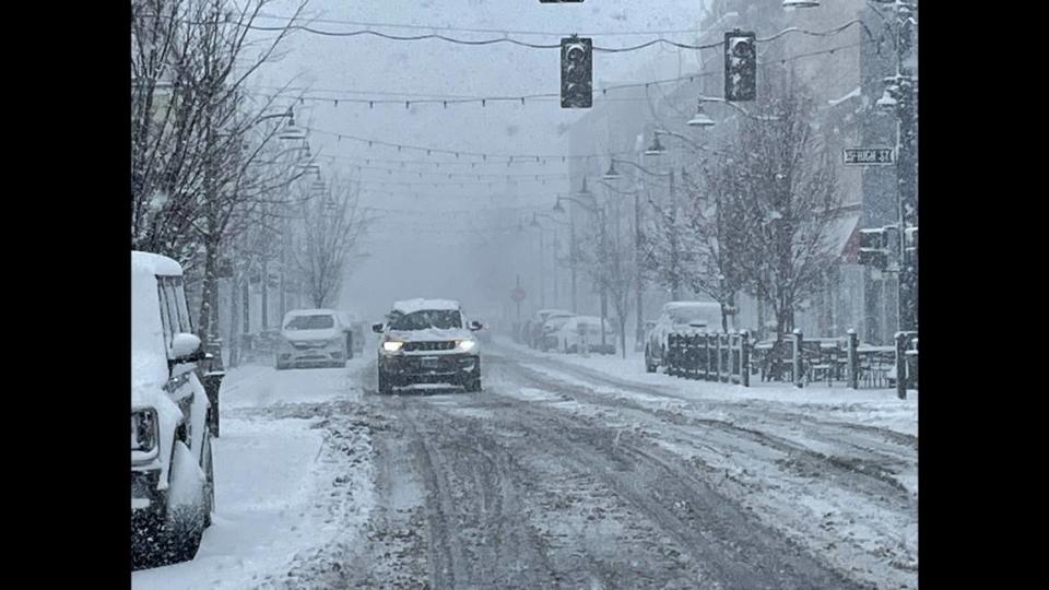
In downtown Belleville, cars moved slowly around Public Square where snow rapidly accumulated early in the afternoon.
Byrd said metro-east residents should expect to see the snowfall taper off by 6 or 7 p.m. Friday with snowfall totals ranging from 2-4 inches.
“Small areas could see higher amounts,” she said.
``Thundersnow” was reported by a resident of rural Freeburg Township, who heard the rumble of thunder about 2 p.m. Friday.
Those who are wondering, you're correct - thundersnow was observed in South St. Louis!
— NWS St. Louis (@NWSStLouis) February 16, 2024
The region, from Columbia, Missouri to the west through Mount Vernon in the east remains under a Winter Storm Advisory until 6 p.m.
The amount of snow that fell in Belleville by early afternoon was enough for the City of Belleville, which closed down City Hall offices at 1 p.m. Friday. The St. Clair County also has closed for the day “for the safety of employees and the citizens that are possibly needing county services,” a social media post stated.