Surf’s up in Miami — and that means plenty of weather alerts. What that means for you
Surf’s up, South Florida. But this isn’t Huntington Beach, California, or Oahu, Hawaii, or even Cocoa Beach, Florida, hometown of super surfer Kelly Slater.
This is South Florida, not one of the nation’s Top 30 best surfing spots. And the “surf’s up” call put out by the National Weather Service in Miami on Tuesday is an advisory meant to warn bathers and boaters of dangerous sea conditions.
Advisories have been issued for Miami-Dade, Broward and Palm Beach counties, but so far not the Florida Keys.
Here’s what you should know if you’re considering a beach visit through Thursday, when some conditions are still OK for a swim such as storm-free, sunny skies and highs in the mid-80s and lows in the upper-70s through Monday:
Marine conditions
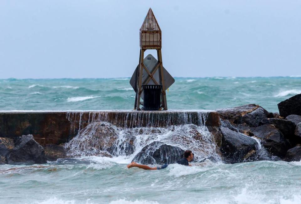
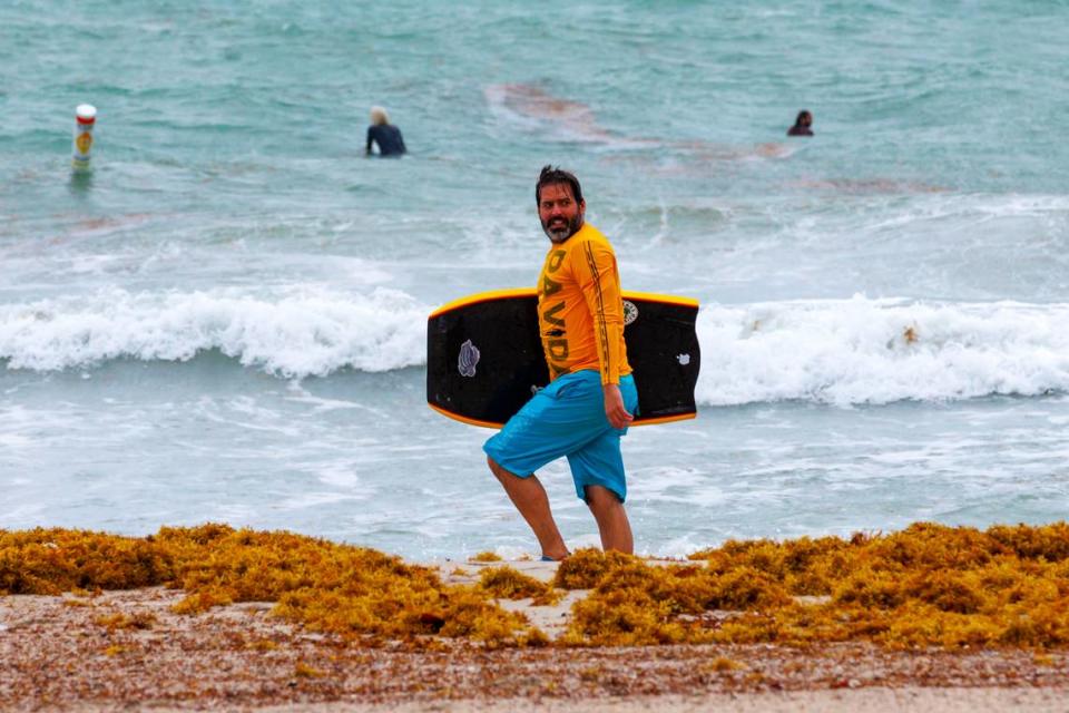
▪ Beaches: High surf associated with increased wave activity will affect beaches along the Atlantic Coast starting 8 p.m. Tuesday and continuing through 8 p.m. Thursday, leading to the weather service’s high surf advisory. A high surf advisory is issued when “breaking wave action poses a threat to life and property within the surf zone.” High surf criteria varies by region, according to the National Weather Service. By Tuesday evening, seas are expected to rise 7 to 9 feet with easterly winds strengthening to 25 to 30 mph through Thursday.
▪ Rip currents: There’s a high rip current risk from 8 a.m. Tuesday through 8 p.m. Thursday, with waves of 6 to 8 feet expected along coastal beaches in Miami-Dade, Broward and Palm Beach counties. Dangerous swimming and surfing conditions and localized beach erosion are the primary impacts. “Rip currents can sweep even the best swimmers away from shore into deeper water,” the weather service posted in its alert.
What you should do: If you’re an inexperienced swimmer, stay out of the water, forecasters urge. Even if you’re a strong swimmer, be mindful of the wave and rip current action.
▪ Swim near a lifeguard.
▪ If caught in a rip current, relax and float.
▪ Don’t swim against the current.
▪ If able, swim in a direction following the shoreline.
▪ If unable to escape, face the shore and call or wave for help.
▪ Boating: Hazardous boating conditions are likely across all Atlantic coastal waters through Thursday, including the Gulf of Mexico as winds and waves increase. Small craft advisories were issued Tuesday until Thursday evening.
Coastal flooding
Because of king tides and onshore winds, minor to moderate coastal flooding is likely along Florida’s east coast from Miami-Dade to Palm Beach counties — from Homestead to Jupiter — and continuing during each high tide cycle through Thursday, according to a coastal flood statement. Be careful of flooded roadways, the weather service said.
Rain chance
Rain chance is 20% or less through Monday in South Florida.

