Temperatures dropped to the 60s — can we handle it? How long will chill stay in Miami?
“Feels like fall, ya’ll ... and you know what? We deserve this,” said CBS Miami Miami meteorologist Lissette Gonzalez in her Friday morning weather report.
“Northwesterly wind is part of the reason we are going to enjoy pleasant conditions and it is looking mainly dry,” she said as she urged South Florida folks to get out and about Friday.
This FRIDAY morning it feels a bit more like FALL #SouthFlorida style as we are waking up with cooler temperatures and low humidity. Mostly Upper 60s in #Broward and #MiamiDade Enjoy! How long will this last? Watch @CBSMiami #CBS4 pic.twitter.com/vl0hVnxFKM
— Lissette Gonzalez (@LissetteCBS4) September 30, 2022
And, yes, Hurricane Ian had something to do with the clear, humidity-free and pleasantly chill conditions Friday morning, said meteorologist Donal Harrigan of the National Weather Service in Miami.
“As Ian moved away and the northwest or north-northwest flow behind Ian filled in it pulled drier air towards our South Florida region,” Harrigan said.
South Florida’s sauna-like norm should also take a respite into the workweek as humidity will remain low, Harrigan said as he checked the radar.
“It looks like it’ll be relatively dry with these low humidities even into early next week.”
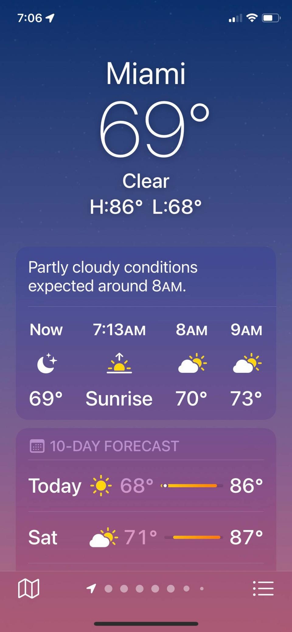
So you weren’t imagining the high-60s readings on your phone’s weather apps this morning.
“I wouldn’t have believed it until I walked outside either,” Harrigan joked.
Early Saturday morning could bring some stray showers to the Florida Keys, and these could drift toward Miami-Dade and Broward Saturday afternoon, Gonzalez noted in her forecast. Though not rain-free, the weekend should be mostly clear.
The National Weather Service in Miami forecasts clear, sunny skies through Tuesday, with Wednesday bringing a 20% chance of showers and rising to 30% Thursday.
Except for some isolated areas, the upper-60s might have come and gone for those late-night and early morning hours. But the 70s ain’t bad either.
Comfy morning temperatures in the low- to mid-70s will remain through the weekend and the workweek, with highs rising to the mid-80s through Thursday, according to the weather service.

The only weather warnings are a high rip current risk for coastal Miami-Dade, Broward and Palm Beach through Friday. Hazardous marine conditions will continue into the first part of the weekend across Atlantic and Gulf waters, according to the service. Also, minor tidal flooding will be possible at high tide over the Gulf Coast through the weekend.
There were no weather warnings in the Keys and temperatures were a bit warmer in the morning at 75 degrees. Highs are expected in the mid-80s through the week on a 10% rain chance.
9/30 - Happy Friday!
Chances of rain are virtually non-existent today as dry air behind Hurricane Ian filters across the region. Mostly sunny skies and temperatures in the mid-80s will lead to a rather pleasant day across South Florida. ️ #flwx pic.twitter.com/H2KVf2Kiwl— NWS Miami (@NWSMiami) September 30, 2022