A Gulf of Mexico tropical disturbance joins two in the Atlantic Ocean. What to know
A third tropical disturbance — this time in the Gulf of Mexico — was added Tuesday night to the tracking list of forecasters watching two other systems moseying across the Atlantic.
Here’s what the National Hurricane Center Hurricane Specialist Lisa Bucci said about the trio of systems in the hurricane center’s 8 a.m. Thursday advisory:
Where is the disturbance in the Gulf?
The hurricane center is watching a broad area of low pressure that could form in the central or western Gulf of Mexico by the beginning of next week.
“Some slow development of this system is possible thereafter as it moves westward and approaches the western Gulf of Mexico coastline by the middle of next week,” Bucci wrote.
▪ Formation chance through 48 hours: near 0%.
▪ Formation chance through 7 days: 30%.
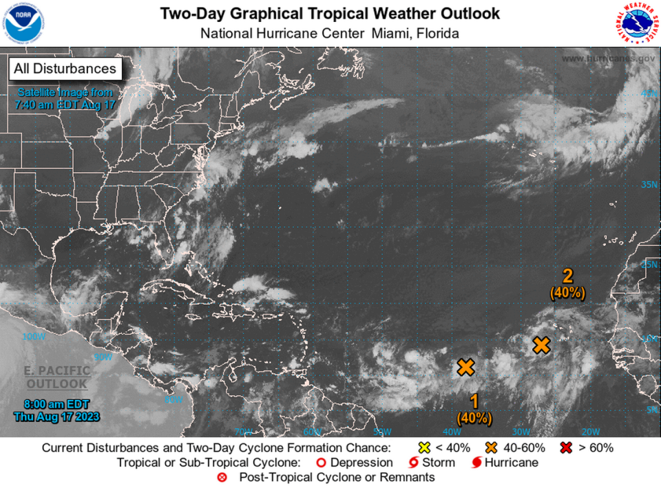
What about Disturbance 1?
Another trough of low pressure is producing disorganized thunderstorms that was about 900 miles west-southwest of the Cabo Verde Islands.
A tropical depression could form over the weekend as the system moves west or west-northwest at 10 to 15 mph across the central tropical Atlantic.
▪ Formation chance through 48 hours: 40%.
▪ Formation chance through 7 days: 60%.
What’s going on with Disturbance 2?
An area of low pressure is also forming to the south-southwest of the Cabo Verde Islands, which is interacting with a tropical wave producing disorganized large showers and thunderstorms.
There could be more development as a tropical depression may form over the weekend before environmental conditions become unfavorable by early next week.
The system is moving west-northwest or northwest at around 10 mph.
▪ Formation chance through 48 hours: 40%.
▪ Formation chance through 7 days: 60%.
Will they affect Florida?
It’s too early to tell whether the three systems will have any impact.