Thunderstorm prompts hail, flood warnings in and around Fort Collins Thursday night
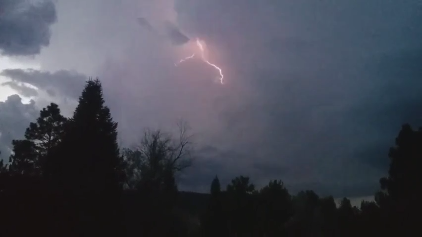
A thunderstorm moving through Larimer County has prompted various National Weather Service warnings for Thursday night.
Fort Collins, Loveland, Timnath, Windsor, Greeley and Severance are all under a severe thunderstorm warning until 6:30 p.m. Thursday, while an area of the Cameron Peak Fire burn scar west of Fort Collins is under a flash flood warning until 8:15 p.m.
The storm that caused the warnings is moving southwest of Fort Collins at 20 mph, with NWS radar indicating its potential for 60 mph winds and quarter-sized hail. Damage to homes, vegetation and vehicles is expected. People should move inside to protect themselves.
This developing story will be updated as additional details become available.
This article originally appeared on Fort Collins Coloradoan: Thunderstorm prompts hail, flood warnings in and around Fort Collins

