Toasty night sets records in southern Ontario. Cooldown, snow risk next
It's not often you have the fans running to keep yourself cool at night in late October, but that was the case for many in southern Ontario this week.
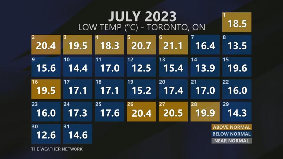
Several records were broken on Friday as lows remained unprecedently mild, even for July standards, nearly hitting the 20-degree mark in a few locales. Some of the previous records had been standing since 1946, so that's quite an accomplishment.
RELATED: Beware: A sharp temperature drop looms for Eastern Canada
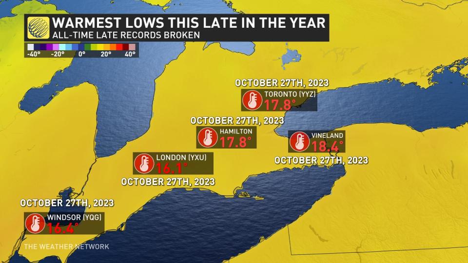
The new records are as follows:
Vineland: 18.4°C (July average low: 17°C)
Toronto: 17.8°C (July average low: 16.6°C)
London: 16.1°C (July average low: 15°C)
Hamilton: 17.8°C (July average low: 15.8°C)
Windsor: 16.4°C (July average low: 18°C)
"This is frankly shocking," said Tyler Hamilton, meteorologist at The Weather Network. "Keep in mind, [the] average low is 2-3°C for these stations."
Windsor, London, Hamilton, Vineland and Toronto, Ont., set new maximum low temperature records on Friday. The warmth was all attributed to a large, sprawling ridge of high pressure that moved into Eastern Canada from the southeastern U.S. October has featured plenty of days with above-seasonal temperatures, with the tally of many regions hitting near double digits.
This is a trend in recent years, thanks to the increased frequency driven by climate change. Even the month of November recorded three consecutive days above 20°C in 2020. Just last year, Pearson International Airport reported a staggeringly high 25.1°C on Nov. 5.
Plummeting temperatures and possible snow on the way
We knew the warmth wouldn't last forever, although it would have been nice if it stayed with us a little longer.
Southern Ontario will find itself in the midst of a sharp cooldown by Sunday morning -- featuring daytime highs that will be in stark contrast to the balmy low records that were just set.
You can blame a travelling cold front for the pattern change. As it began its continent-wide journey on Friday, it produced some impressive temperature gradients: 23°C to -3°C across Ontario; 30°C to 3°C in Texas; and a spread of 31°C to 2°C across 600 km in Missouri.
While temperatures will began to plummet Saturday afternoon, Sunday is when we will really feel the difference. Temperatures are expected to drop 15°C, and will continuing to decline for the final couple days of October. The end result will be daytime highs struggling to get more than a few degrees above freezing.
With the coming cold will be a risk of wet snow, creating a bit of a scare for some trick-or-treaters on Halloween.
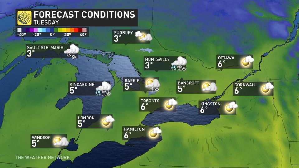
After the passage of the a front, a trough will move through the Great Lakes region on Tuesday. Some of the traditional snowbelt areas will see some snow-showers on Halloween with single-digit temperatures in play. The lake-effect snow machine will crank up in time for the start of November. Places like Sault Ste. Marie, Ont., will have snow on the ground just in time for Halloween.
It's looking like we will have to wait a while to see milder temperatures to return, but not as warm as the record-breaking overnight lows. We are watching the potential for a milder pattern (relative to what is normal) for mid- and late November.
With files from Tyler Hamilton and Kevin MacKay, meteorologists at The Weather Network.

