Tornado watch issued for Brevard, other counties as Hurricane Idalia strengthens
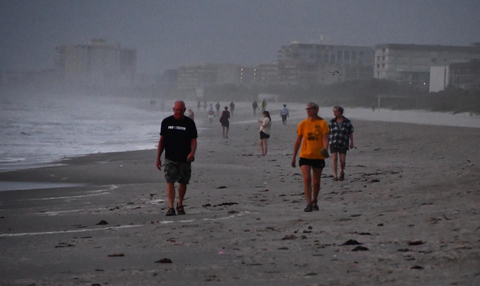
Brevard County seemed to be spared the brunt of any heavy winds, rains or erosion as Hurricane Idalia pushed its way past Florida's Beg Bend into Georgia.
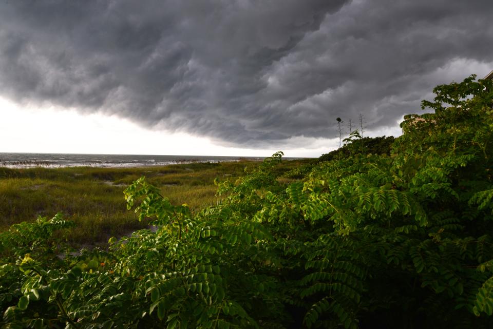
Rainbands from Hurricane Idalia continued to fan across portions of Brevard and east Central Florida throughout Wednesday, bringing some squalls and minor, localized flooding and the threat of a tornado.
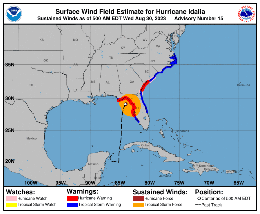
Weather officials had warned residents – and commuters - to stay off the roadways and away from large trees as conditions deteriorate and winds pick up in Brevard County, despite not being in the direct impact zone of Idalia’s passage. Idalia made landfall as a Category 3 hurricane near Keaton Beach along Florida's Big Bend region.
Already, Brevard public schools are closed Wednesday, keeping buses, students and others off the roads.
The hurricane made its closest pass west of Central Florida through Wednesday morning, stirring the surf and pushing flood waters onshore along the west coast of the state. There were major reports of flooding and some rescues in the wake of the storm's path.
Idalia's approach from the west spared the Space Coast the much more severe erosion the Gulf Coast faced.
On Wednesday, high tide at Trident Pier at Port Canaveral is expected to increase by almost a foot in one day, peaking at 3.85 feet above the average height of the lowest tide at 7:30 a.m. and then again at 4.74 feet at 8 p.m. the same day.
"There is always some potential for erosion," Mike McGarry, Brevard County's beach renourishment coordinator, said Monday. "We will have some strong southerly winds, and they will have impact on beaches but I don’t expect extraordinary erosion."
Port Canaveral closes: Port Canaveral closes as result of Hurricane Idalia, with cargo, gambling ships affected
Space impacts: Hurricane Idalia delays rocket launch schedule as KSC, CCSFS prepare for storm
Storms such as Hurricane Matthew in 2016 that approach parallel to shore and ride the coastline tend to cause the worst beach erosion, officials say. But the quarter-moon cycle that generated modest high tides and Matthew's quick bump to the east helped spare the Space Coast a worst-case scenario.
Idalia could disrupt hatching sea turtles, though. If the conditions are right this week, with onshore winds, then heavy surf will push hatchling sea turtles back onto the beach, risking their already endangered lives, "especially now, during the hatching season and after this kind of storm when the winds shift back onshore," Kate Mansfield, a biology professor at University of Central Florida, said via email.
A tornado watch was in effect for Brevard, Osceola, Seminole and Volusia counties through 3 p.m., the National Weather Service reported early Wednesday. Residents should be prepared to take shelter if an alert is issued.
A watch means conditions are favorable for the producing of tornadoes – along with isolated hail.
Brevard County residents also can expect winds to peak at about 20-30 mph with gusts up to 45 mph.
“We are starting to see those rainbands really ramp up along Brevard. They’ll continue to come through most of the day and into the evening,” said Cassie Leahy, a meteorologist with the National Weather Service in Melbourne. “We could see sustained winds of 25 to 30 mph. What we’ll also be watching for are the gusts and we’re really watching out for the tornado threats. There have been a few cells that have shown rotation, but no reports at the moment of any in Brevard."
Overnight, the weather service issued a tornado warning, the more severe alert, for the surrounding counties Osceola, Orange and Seminole, but not Brevard.
That could change later today as Idalia lifts toward northern Florida, Leahy warned. Idalia strengthened overnight to a Category 4 hurricane with 130 mph winds and gusts of up to 160 mph. Idalia, weakening to a Category 3, slammed ashore about 7:45 a.m. Wednesday, creating storm surges and swelling area rivers along the way, the National Weather Service reported.
Rainwise, Brevard residents can expect to see up to 1 to 2 inches of rainfall, enough to create roadway ponding and swollen ditches in some areas already saturated by recent summer showers.
Jim Waymer contributed to this report. J.D. Gallop is a criminal justice/breaking news reporter at FLORIDA TODAY. Contact Gallop at 321-917-4641 or jdgallop@floridatoday.com.
This article originally appeared on Florida Today: Tornado watch, wind gusts for Space Coast with Hurricane Idalia

