Several tornado warnings issued for Volusia, Flagler as storms move across the peninsula
Several tornado warnings were issued as night fell in Volusia and Flagler counties on Tuesday as a powerful low pressure system and cold front worked its way across the state, according to the National Weather Service.
A tornado warning was issued just after 6 p.m. for Port Orange, New Smyrna Beach and South Daytona that was slated to extend through 6:30 p.m. An additional tornado warning for Edgewater extended until 6:45 p.m.
That alert followed an earlier tornado warning issued just after 5 p.m. for parts of northwest Volusia County and southern Flagler County, according to the National Weather Service.
That warning was allowed to expire at 5:15 in Volusia, but was extended until 5:30 p.m. in Flagler, the NWS stated.
Flagler County Emergency Management Specialist Bob Pickering said a funnel cloud was spotted west of Bunnell at 5:11 p.m. but it did not touch down as far as they are aware.
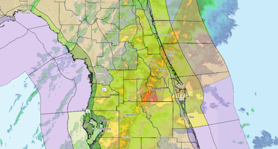
The warnings surfaced as both Volusia and Flagler are under a tornado watch that extends until 9 p.m. Tuesday, according the latest advisories from the National Weather Service in Melbourne.
The potential for tornadoes is associated with a powerful low and associated cold front which is bringing the prospect of damaging winds, coastal flooding, the chance of tornadoes, and heavy rainfall.
A tornado ripped through the Panhandle on Tuesday morning, leaving a trail of debris and destruction in its path.
Several tornadoes were reported in Florida Tuesday morning: one near De Funiak Springs and another near Panama City, according to the National Weather Service.
Numerous damage reports have been coming in from Lower Grand Lagoon near Panama City Beach and Marianna, including an RV park where search and rescue operations were underway.
Whether damage was caused by tornadoes or straight-line winds will be determined by the National Weather Service after an on-scene survey. Also to be determined will be exactly how many tornadoes struck the Panhandle. It's possible the same tornado could have impacted multiple locations.
In Volusia and Flagler, the potential for tornadoes also looms, according to the National Weather Service.
“As the band of strong to severe storms moves across east central Florida and out over the local Atlantic waters, waterspouts cannot be ruled out across inland lakes, the intracoastal waters, and the local Atlantic waters,” stated a 1:15 p.m. NWS advisory. “Marine interests should remain vigilant.”
What areas of Volusia-Flagler are covered by the watch?
The tornado watch that extends through 9 p.m. Tuesday encompasses southern portions of Flagler County, including Palm Coast and Flagler Beach, as well as all of Volusia County.
The watch means that the presence of a couple strong tornadoes is possible, as well as the possibility of quarter-inch-sized hail. Wind gusts up to 70 mph are possible, according to the advisory.
What to do to be prepared
On Facebook, Volusia County Emergency Management urged residents to take storm advisories seriously, reposting statewide alerts to stay indoors, seek shelter away from windows immediately if a tornado warning is issued and stay up to date on local weather alerts.
More: Weather watches, warnings issued for Daytona Beach. See radar, current conditions
In Flagler County, officials also advised residents to prepare for windy conditions and a higher-than-average risk for severe weather.
“A windy day followed by a stormy evening is expected for Flagler County today,” Flagler County Emergency Management Director Jonathan Lord stated in a news release. “Currently, we expect sustained winds in the teens this morning, increasing to 28 mph in the afternoon with gusts around 40 mph in advance of an expected line of storms this evening that, at times, will be severe.”
A powerful line of brief but intense storms will push through Flagler County starting at some point between 4 and 6 p.m. Tuesday that have a high risk of producing wind gusts of 60 to 80 mph. There is also a medium risk of tornadoes and a low risk of hail.
“Tornadoes can spin up rapidly with some storms,” Lord said. “Have a way to get warnings, such as signing up for ALERTFlagler, and know what to do should warnings be issued. The safest place is in a small interior room of a well-built building.”
Loose outdoor items should be secured so they do not become wind-blown projectiles. Residents can sign up for emergency notifications at www.FlaglerCounty.gov/AlertFlagler.
What’s the difference between a watch and a warning?
A tornado watch means that tornadoes are possible in and near the watch area.
Watches are issued by the U.S. government’s Storm Prediction Center in Norman, Oklahoma, in coordination with local offices of the National Weather Service for counties where tornadoes may occur. The watch area is typically large, covering numerous counties or even states.
A tornado warning can be issued based off radar-indicated rotation.
Warnings are issued by the local forecast office of the National Weather Service. Such warnings typically encompass a much smaller area (around the size of a city or small county) that may be impacted by a tornado identified by a forecaster on radar or by a trained spotter watching the storm. A tornado warning means it’s time for local residents to take action to stay safe.
This article originally appeared on The Daytona Beach News-Journal: Tornado warnings for Volusia and Flagler counties as storms arrive

