Track Texas fires: Map traces current wildfires burning across state in real-time
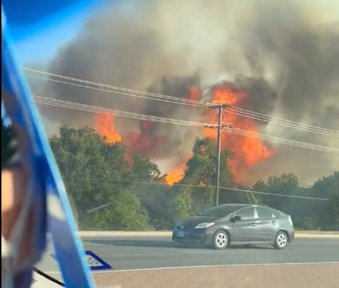
As triple-digit heat continues to scorch Texas, parts of Central Texas are under excessive heat warnings and critical fire conditions.
Last week, the Powder Keg Fire near Bastrop State Park burned nearly 117 acres while the Mesquite Field Fire in southern Bastrop County burned 38 acres.
Over the weekend, the Oak Grove Fire in Hays County grew to 400 acres, evacuating several homes and destroying the home of 75-year-old Army veteran Michael Hinz. As of Tuesday morning, the wildfire was 90% contained, according to Texas A&M Forest Service.
Most recently, a fire in Cedar Park destroyed an apartment building Tuesday, displacing hundreds of residents and injuring one, according to city officials.
As fire officials continue to battle fires, here's how to track fires in your area:
Map: Texas fire tracker
The fire tracker provides a map with pinpoint locations of each fire and also shows where red flag warnings are in effect, among other information. You can also click on each point to see detailed information on the fire in that area.
If you can't see the map above, click on this link.
This article originally appeared on Austin American-Statesman: Track Texas fires: Map traces wildfires burning in real-time
