Tropical Depression Sean is forecast to become a remnant low Sunday, NHC says
- Oops!Something went wrong.Please try again later.
Tropical Depression Sean is forecast to become a remnant low later today, according to the National Hurricane Center's 11 a.m. public advisory on Sunday, Oct. 15.
At 11 a.m., the center of Tropical Depression Sean was located near latitude 17.7 North, longitude 47.1 West. The depression is moving toward the west-northwest near 10 mph, and this general motion is expected to continue through tonight. A turn toward the west is expected on Monday.
Sean continues to produce intermittent convective bursts as it remains in a low vertical wind shear environment over warm sea surface temperatures. However, dry mid-level air will eventually cause the convection to become less persistent and lose organization. As the system decays, Sean should become a remnant low, which could occur tonight.
Hurricane outlook: The 2023 hurricane season is not over yet with Florida vulnerable to storms into November
Here's the latest update from the NHC as of 11 a.m.:
Tropical Depression Sean: Where is it and where is it going?

Location: 1,050 miles east of the Northern Leeward Islands
Maximum sustained winds: 30 mph
Movement: West-northwest at 10 mph
Pressure: 1010 mb
At 11 a.m., the center of Tropical Depression Sean was located near latitude 17.7 North, longitude 47.1 West. The depression is moving toward the west-northwest near 10 mph, and this general motion is expected to continue through tonight. A turn toward the west is expected on Monday.
Maximum sustained winds have weakened to near 30 mph with higher gusts based on recent satellite-derived wind data. Additional weakening is forecast, and Sean is forecast to become a remnant low later today or tonight.
The estimated minimum central pressure is 1010 mb.
Spaghetti models for Tropical Depression Sean
Special note about spaghetti models: Illustrations include an array of forecast tools and models, and not all are created equal. The hurricane center uses only the top four or five highest performing models to help make its forecasts.
What else is out there and how likely is it to strengthen?
Invest 94L: A broad area of low pressure located several hundred miles southwest of the Cabo Verde Islands is producing disorganized showers and thunderstorms.
While this system has become less organized since yesterday, the overall environmental conditions are forecast to become more conducive for development, and a tropical depression or tropical storm is still likely to form within the next few days while the system moves westward or west-northwestward across the central and western tropical Atlantic.
Formation chance through 48 hours: Medium, 60%
Formation chance through 7 days: High, 90%
Who is likely to be impacted?
No direct threat to Florida from Sean or Invest 94L is expected over at least the next five to seven days, according to the Florida Division of Emergency Management.
Forecasters urge all residents to continue monitoring the tropics and to always be prepared.
Tropical forecast over the next seven days
Excessive rainfall forecast
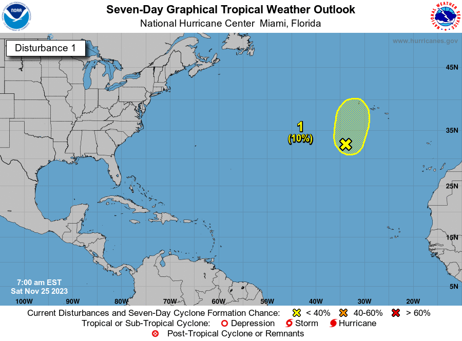
What's out there?
Systems currently being monitored by the National Hurricane Center.

Noaa
Embedded content: https://www.nhc.noaa.gov/xgtwo/two_atl_0d0.png?052051
What's next?
We will continue to update our tropical weather coverage daily. Download your local site's app to ensure you're always connected to the news. And look at our special subscription offers here.
This article originally appeared on Tallahassee Democrat: NHC updates for Tropical Depression Sean, Invest 94L on Sunday

