Hurricane Ian forms as watches issued in Florida
Hurricane Ian formed Monday morning as its path continued to shift back more to the east with much of Central Florida within the cone of uncertainty and the first hurricane watches issued on the state’s Gulf Coast.
As of 5 a.m., the National Hurricane Center puts Ian’s center about 90 miles southwest of Grand Cayman and about 315 miles southeast of the western tip of Cuba with maximum sustained winds of 75 mph moving northwest at 14 mph. Its hurricane-force winds extend out 15 miles with tropical-storm-force winds extending out 90 miles.
A hurricane watch has been issued from Englewood to the Anclote River including Tampa Bay. A storm surge watch is also in place for the Florida Keys from the Card Sound Bridge west to Key West, the Dry Tortugas, Florida Bay and from the Anclote River south to the Card Sound Bridge as well as Tampa Bay.
The latest track forecasts Ian to make landfall north of Tampa Bay early Friday as a Category 1 hurricane with maximum-sustained winds of 90 mph, but be parked just miles off Tampa as a Category 3 hurricane on Thursday afternoon.
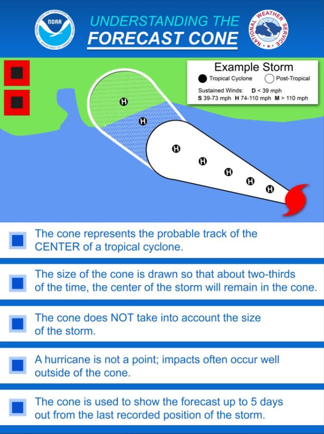
“It should again be stressed that there is still significant uncertainty in the track of Ian, especially in the 3-5 day time frame, and users should not focus on the details of the track forecast at longer time ranges,” said NHC forecasters in the storm discussion noting some models have it making landfall farther south along the Florida coast with others putting it north in the Panhandle.
Either way the system is expected to undergo rapid intensification today gaining strength to a Category 2 hurricane with winds of 100 mph by this afternoon and to blow up into a Category 4 hurricane with winds of 140 mph off the coast of Southwest Florida by early Wednesday morning.
“On the forecast track, the center of Ian is expected to pass near or west of the Cayman Islands today, and near or over western Cuba tonight and early Tuesday. Ian will then emerge over the southeastern Gulf of Mexico on Tuesday, and pass west of the Florida Keys late Tuesday, and approach the west coast of Florida on Wednesday,” according to NHC forecasters.
Tropical-storm conditions are expected in the lower Florida Keys on Tuesday with the west coast of Florida potentially seeing those by Tuesday evening. Hurricane conditions are possible along the Florida west coast on Wednesday. Parts of the Florida peninsula could see 8 to 10 inches of rain with some spots up to 15 inches while the Florida Keys are expected to see 4 to 6 inches.
“Considerable flooding impacts are possible mid-to-late week in central Florida given already saturated antecedent conditions, and flash and urban flooding is possible with rainfall across the Florida Keys and the Florida peninsula through mid week,” the forecast said. “Limited flood impacts and rises on area streams and rivers are possible over northern Florida and portions of the Southeast mid-to-late week.”
The chances for tornadoes begin late Monday and Tuesday across the Florida Keys and then into the southern and central Florida peninsula, the NHC said.
Computer forecast models late Friday still weren’t in perfect alignment on where the storm may go – a landfall north of the Tampa Bay area or one farther north in Florida’s panhandle.
“The official track forecast has been shifted somewhat to the east of the previous one and is mainly a blend of the latest ECMWF and GFS [forecast model] predictions,” NHC forecasters said Sunday night. “It should again be stressed that there is still significant uncertainty in the track of Ian, especially in the 3-5 day time frame.”
“Users should not focus on the details of the track forecast at longer time ranges.”
Whether it’s a direct hit in west Central Florida or in the panhandle, Hurricane Ian will have a significant impact weather in Florida this week.
“Regardless of Ian’s exact track and intensity, there is a risk of dangerous storm surge, hurricane-force winds, and heavy rainfall along the west coast of Florida and the Florida Panhandle by the middle of this week, and residents in Florida should ensure they have their hurricane plan in place,” the hurricane center warned.
“Follow any advice given by local officials and closely monitor updates to the forecast.”
The next forecast track adjustment from the NHC is scheduled for 11 a.m. Monday.
Hurricane Warnings remain for Grand Cayman and parts of Cuba, where significant wind and storm impacts are expected within the next 36 hours.
Florida will be impacted by the storm, regardless of where it may come ashore, Gov. Ron DeSantis said Sunday.
From Tallahassee, DeSantis urged Floridians Sunday to be prepared for the worst and pay attention to any shifts in the storm’s path.
“We are continuing to monitor Tropical Storm Ian,” DeSantis told reporters gathered at the state Emergency Operations Center in Tallahassee.
John Cangialosi, a senior hurricane specialist at the Miami-based hurricane center, said it was not yet clear exactly where Ian will hit hardest. He said Floridians should begin preparations, including gathering supplies for potential power outages.
“At this point really the right message for those living in Florida is that you have to watch forecasts and get ready and prepare yourself for potential impact from this tropical system,” he said.
David Sharp, a forecaster with the National Weather Service in Melbourne, said now is time for Central Florida residents to pay attention to Ian’s forecast.
“Stay up to date with the forecasts,” Sharp said. “Small changes in the forecast can end up making a big difference by the time it gets to us on day four or five.”
“You always want to plan for the most likely scenario at the minimum and prepare for a reasonable worst case scenario which means how bad it could get,” Sharp said. “The current forecast is what we call the most likely scenario so with that we are concerned with flooding rain, with tropical storm force winds, and hurricane gusts and tornadoes.”
As for when the Ian could have the greatest impact on Central Florida, Sharp pointed to Wednesday.
“The most likely time is Wednesday afternoon, evening about that time, so you definitely want to have things done by Wednesday morning, Wednesday afternoon the latest,” Sharp said. “Before we see the winds we are going to see rain ... so you don’t want to be running around when the roads might be flooded or there’s tornado warnings.”
“The hazards that we’re concerned most about this time is flooding rain ... also there’s a concern for tropical storm force winds with hurricane gusts right now,” Sharp said.
Across Central Florida, schools were monitoring Ian’s progress.
Bethune-Cookman University, a private historically black university in Daytona Beach, announced a mandatory campus evacuation beginning Monday at noon with no return date set yet and students in residents halls were encouraged to evacuate as soon as Sunday.
At B-CU classes will be moved online only on Tuesday, according to a letter by the Office of Academic Affairs on Saturday.
At the University of Central Florida, campus will remain open with a status update coming on Monday to decide university operations for the coming week.
Rollin College in Winter Park, will announce a decision on whether or not to close campus on Sunday, according to their official social media.
The University of South Florida in Tampa will keep campus operations open and classes as scheduled pending an update Sunday evening, according to the official university website.
Florida State University and the University of Florida are continuing to monitor the storm before announcing any changes to campus operations or classes, according to their official social media pages.
Both universities ask their students to plan and prepare as well as ensure they are up to date with their university’s emergency alert system.

