Post-Christmas travelers snarled by winter storm in north-central US, flooding rains in Appalachians
Millions of people were under winter weather advisories and storm warnings Tuesday following a white Christmas, and forecasters say the north-central U.S. will continue to see heavy snow, blizzard conditions and freezing rain, snarling travel plans as Americans head home after the holiday.
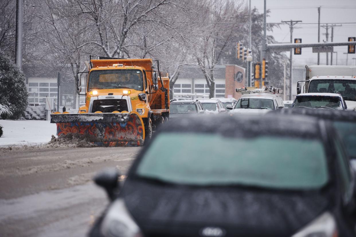
Blizzard warnings affecting over 600,000 people went into effect Monday due to the winter storm, which brought 8 to 12 inches to western parts of South Dakota. The National Weather Service said heavy snow and wind gusts as high as 60 mph will produce dangerous whiteout conditions and cause widespread travel disruptions throughout the region.
The worst of the wintry conditions occurred Monday night and early Tuesday morning for western Minnesota, the Dakotas, Nebraska and northern Kansas, according to AccuWeather meteorologist Dan Pydynowski. The storm's intensity is expected to weaken Tuesday afternoon but locals will still have to deal with snow and ice.
"Travel is going to be extremely difficult with a wind-driven snow and a fair amount of freezing rain as well," Pydynowski told USA TODAY.
The ongoing major winter storm will continue and intensify tonight. Blizzard conditions with heavy snow and gusty winds are expected, with damaging icing also likely in some areas. Travel will be dangerous to impossible at times. pic.twitter.com/8YlfmNQv2w
— NWS Weather Prediction Center (@NWSWPC) December 25, 2023
A large portion of South Dakota and Nebraska as well as parts of northwestern Kansas and far eastern Colorado were also under blizzard warnings on Christmas Day.
Post-Christmas travel in flux amid wintry weather
The weather was causing delays for people heading home on Tuesday after the Christmas holiday by road and sky.
There were over 3,000 delays affecting flights inbound, outbound and within the U.S. by midmorning Tuesday, and over 80 cancellations, according to FlightAware.
While much of the eastern half of Colorado was under weather warnings, roads were closed, including I-70 from Denver to the Kansas line, the Fort Collins Coloradoan reported. The National Weather Service warned high winds near Fort Collins could create hazardous driving conditions due to blowing dust and snow, with a risk of high-profile vehicles blowing over on Interstate 25.
Fallen trees could lead to blocked roads and power outages in parts of the Dakotas, the weather service said. In Nebraska, the state patrol said snow that fell during a Christmas Day storm could leave slick spots on roads affecting travelers on Tuesday.
South Dakota weather map
Flooding rains to ease in southern and central Appalachians
The heavy rain that created flash flooding and mudslide conditions in the south and central Appalachians should gradually ease on Tuesday, Pydynowski said. Flood watches went into effect Monday from the northeast corner of Georgia through upstate South Carolina into western North Carolina.
"Certainly we're concerned about some flash flooding and some possibilities of rock slides and mudslides that can often happen ... in western North Carolina, it's pretty notorious area for that," he said.
I-80 CLOSED: Major Nebraska interstate closes as jacknifed tractor trailers block snowy roadway
North Carolina weather map
Major icing is possible across parts of the Northwest
Eastern Oregon and Washington will continue to see snow and icy conditions Tuesday morning after heavy wintry precipitation on Monday.
"Not a huge accumulation. Maybe an inch or 2 (of snow), but again could be enough to make for some messy travel (for) people who have to head back to work," Pydynowski said.
He added that snow levels in the Cascades should rise, meaning the region should see a wave of rainfall due to warm air passing.
Oregon weather map
US weather watches and warnings
National weather radar
This article originally appeared on USA TODAY: Tuesday weather forecast: Blizzards resume in central north-central US

