Two cold fronts could bring much-needed rain to Austin. Here's our forecast.
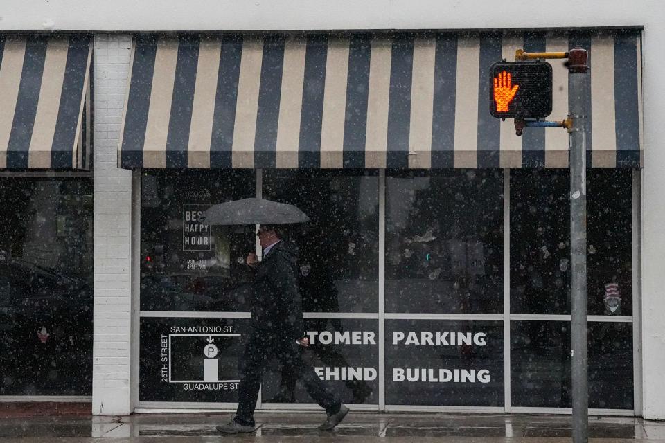
So much of Austin winter weather consists of waiting for the next cold front, which not only reminds us of what near-freezing temperatures feel like but also tends to be our best chance for rain this time of year.
Austin has been particularly dry this January, logging less than a tenth of an inch of rain with only about 10 days left in the month. Cold fronts on Saturday and Tuesday could bring some welcome moisture to our drought-stricken region. Here's what we know:
How bad is the drought in Texas?
Drought data released Thursday from the U.S. Drought Monitor, a joint effort of the National Drought Mitigation Center, the U.S. Agriculture Department and the National Oceanic and Atmospheric Administration, indicate that drought conditions across Texas have increased, with about 77.7% of the state experiencing drought — an increase of about 4.5 percentage points from the previous week.
Although drought conditions in Travis County appear limited to its southwestern corner, some of the worst-hit areas in Texas lie in neighboring Hays and Blanco counties.
How much rain will we get?
The cold front rolling across Central Texas on Saturday is expected to produce only isolated to scattered showers along and east of the Interstate 35 corridor, according to the National Weather Service. So don't expect much rainfall that day.
"Rain amounts are expected to be light with most locations averaging between zero and one-tenth of an inch from this activity," the weather service said in a bulletin Friday.
Austin's forecast for Saturday includes a 30% chance of rain in the morning before skies gradually clear up. Temperatures, though, will likely be cooler than normal and stay largely in the 50s. At night, skies will remain mostly clear with overnight temperatures sinking into the lower 40s.
Will rain continue Sunday?
Not in Austin. Forecasters said that "the long-term period will begin with a very dry continental air mass in place, thanks to northerly flow behind Saturday's cold front" — which is a fancier way of explaining that Austin temperatures will reach a seasonable high of 64 degrees with plenty of sunshine and gusty north-northwest winds of 5 to 15 mph.
Sunday night's clear skies and dry air will allow the day's radiant heat to escape, which will help send overnight temperatures into the upper 30s. The cooler northerly winds are expected to become balmy south-southeast winds early Monday, the weather service said.
What's my Monday commute going to look like?
Monday's actually looking pretty nice. Hang on to your hats because the outlook calls for sunny skies and temperatures soaring to 68 degrees amid warm but blustery south-southeast winds of 10 to 20 mph.
What about that second cold front?
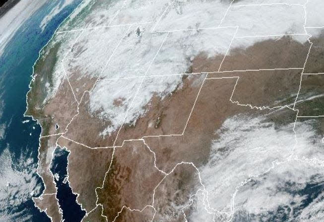
A system of low atmospheric pressure, which can make air unstable enough to allow storms to develop, will form in the southwestern United States, move into the southern Plains and help bring moist air to Texas, forecasters said.
"The feature should drag a Pacific front/dryline through the region late Tuesday morning, allowing a much drier air mass to filter in by the afternoon hours," the weather service bulletin said.
But when will it rain?
Rain chances in Austin rise to 60% on Monday night and into early Tuesday. The mostly cloudy skies should help keep overnight temperatures Monday night above 48 degrees. Southeast winds of 15 mph should become northeast after midnight, forecasters said.
What's the forecast for Tuesday?
"This appears to be the most eventful day of the long-term period," the weather service bulletin said, adding that "any showers/storms will push quickly to our east, behind the departed Pacific front/dryline during the afternoon hours."
Austin on Tuesday has a 60% chance of rain in the morning before becoming partly sunny. The cold front will keep daytime temperatures below 58 degrees, which will feel even chillier because of biting northwest winds of 15 to 20 mph. Temperatures on Tuesday night could sink to as low as 36 degrees under clear skies.
Wednesday's forecast for Austin includes more clear skies and sunshine, but it calls for daytime temperatures to get no warmer than the upper 50s, with overnight temperatures sinking to a near-freezing 35 degrees.
This article originally appeared on Austin American-Statesman: Austin weekend weather forecast: Rain possible with dual cold fronts

