Two weather systems bring threat of flash flooding, drastic temperature changes across US
Part of the Southern Plains, the Ohio Valley, central Appalachians and the middle to lower Mississippi Valley will be under threat of severe thunderstorms and flash flooding Monday and Tuesday as a storm that soaked previously dry regions of Texas over the weekend moves slowly northeast to start the week.
Heavy precipitation was expected Sunday evening in Louisiana, Arkansas, Mississippi and southern Missouri, bringing 1-3 inches of rain to areas that have already absorbed more than what’s typical, according to AccuWeather.
“Even though the rain may not be as intense in this zone when compared to what southeastern Texas experienced on Saturday, much of the Gulf Coast states are not in drought and may only be able to handle a moderate amount of rain,’’ AccuWeather Senior meteorologist Dan Pydynowski said.
Tornado watches and warnings have been issued for several Mississippi counties as rain and strong storms make their way across the state.
Local media in Byram, Mississippi, said a tornado uprooted trees as it moved across highways and was visible from miles away.
The National Weather Service in Jackson, Mississippi, received a report of people trapped inside a home in Terry, Mississippi. There are also reports of trees uprooted and mobile homes destroyed.
WJTV-TV reports Yazoo County Emergency Managemet Director Jack Willingham said at least five or six families may be displaced following a confirmed tornado in the area.
NWS officials are asking people in the metro area to take shelter to protect themselves from flying debris.
A second weather threat is expected to develop over the Rockies late Sunday and into Monday, delivering wet snow to the higher elevations of Colorado and Wyoming and rain to parts of the northern and central Plains, the National Weather Service said.
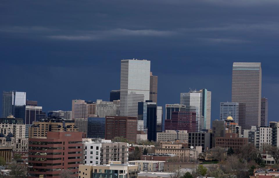
The upper-level trough will account for dramatic temperature changes in a number of cities along its path. Denver, which on Saturday came within one degree of tying its high for a May 1 when it registered 86 degrees, will plummet to a high of 47 by Monday.
The fast-moving system will then head toward the Midwest, where cities like Omaha, Nebraska, and Minneapolis will experience temperature dips of up to 15 degrees below the norm for early May.
“Many locations could see temperatures drop below 32 degrees during the overnight hours on Tuesday, posing the risk for a frost, especially in normally colder spots,’’ AccuWeather Meteorologist Alyssa Smithmyer said.
Contributing: Elinor Aspegren, USA TODAY; Keisha Rowe and Lici Beveridge, Mississippi Clarion-Ledger
This article originally appeared on USA TODAY: Weather changes bring flash flooding threat, drastic temperature drops
