Empty school bus loses control on ice and crashes into parked cars
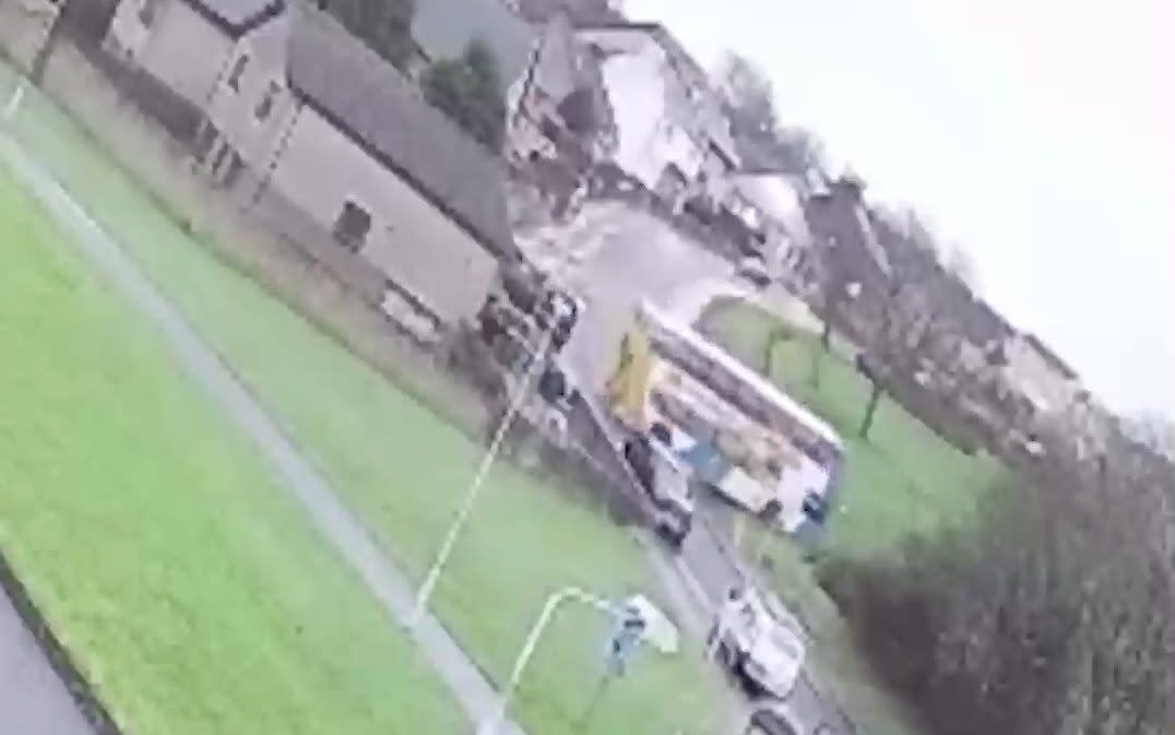
A Stagecoach school bus smashed into several parked cars after the driver lost control owing to icy conditions on Monday.
CCTV footage shows the back end of the bus swing around as the double-decker drives down a hill on a residential road in Fife, Scotland, at around 8.30am. It then careered onto a grass verge before spinning 180 degrees, hitting another vehicle and coming to a stop.
Emergency services were called to Chapel Road following reports of the collision. No passengers were on board the bus, which was serving St Marie’s Primary School, at the time of the crash. No one was injured.
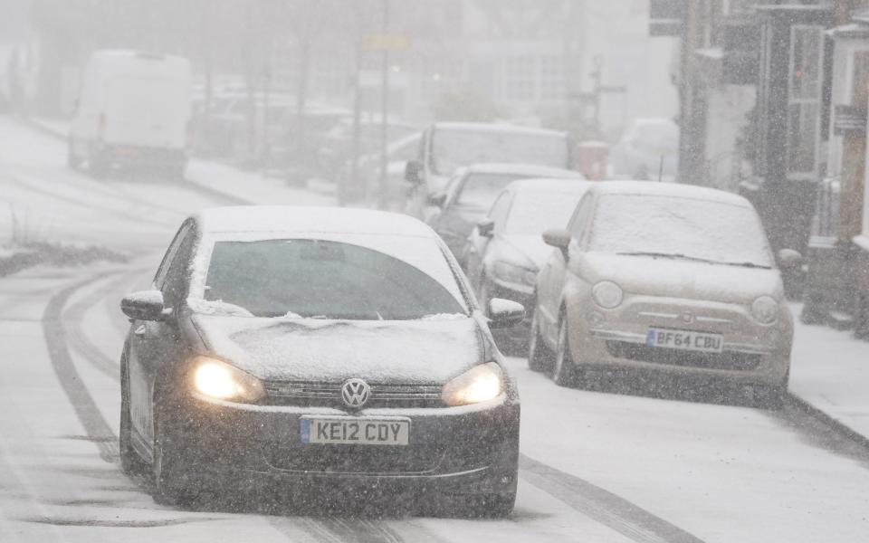
It comes as the Met Office warned of travel disruption on Monday with temperature potentially dropping to -7C. The cold snap saw snow fall across London and the South East, with a yellow ice warning covering southern England and Wales.
07:56 PM GMT
That's all for today
Thanks for following our live coverage of the weather.
Check the website for the latest updates.
06:54 PM GMT
Around 2,000 properties flooded due to Storm Henk, says the Environment Minister
The Environment Minister said “2,000 properties are flooded” as a result of Storm Henk.
Robbie Moore told MPs in the Commons: “The Government began planning for the elevated flood risk as soon as the Met Office forecast indicated an unsettled period of weather over Christmas and the new year. The Environment Agency started planning and preparing in the week before Christmas.”
Shadow environment secretary Steve Reed criticised the Government’s long-term record, saying: “With one-in-six homes at risk of flooding, homeowners must be horrified that their Government has done little more than stare out of the window and watch the rain come down.”
He added: “While we can’t stop the rain from falling, we can and we should do more to protect communities, businesses and farms from the devastation of flooding.”
06:19 PM GMT
Double-decker bus loses control on an icy downhill stretch
A school bus careered into several parked cars on a residential road after the driver lost control owing to icy conditions on Monday.
CCTV footage shows the back end of the bus swing out of control as it bends around a downhill corner before smashing into a car.
It then skids onto a grass verge before spinning 180 degrees, hitting another vehicle and finally coming to a stop.
Emergency services were called to Chapel Road, Fife, at around 8.30am following reports of a double-decker bus colliding with multiple vehicles.
No passengers were on board the bus, which was serving St Marie’s Primary School, at the time of the crash. No one was injured.
A spokeswoman for Stagecoach East Scotland said: “One of our vehicles operating on Service SM1 was involved in an incident on Chapel Road in Kirkcaldy this morning in icy conditions.
“There were no passengers on board at the time, and no injuries as a result. Safety is our absolute priority, and we will investigate the full circumstances involved.”
Chapel Road was closed but has since reopened.
05:36 PM GMT
Hundreds of flood warnings in place
There are 282 flood warnings and alerts in place today.
A total of 143 alerts and 139 warnings for flooding are in place across England.
This is down from159 alerts and 169 warnings which were issued this morning, covering parts of south England, much of the Midlands and parts of Yorkshire.
05:13 PM GMT
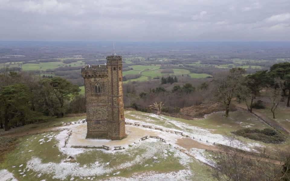
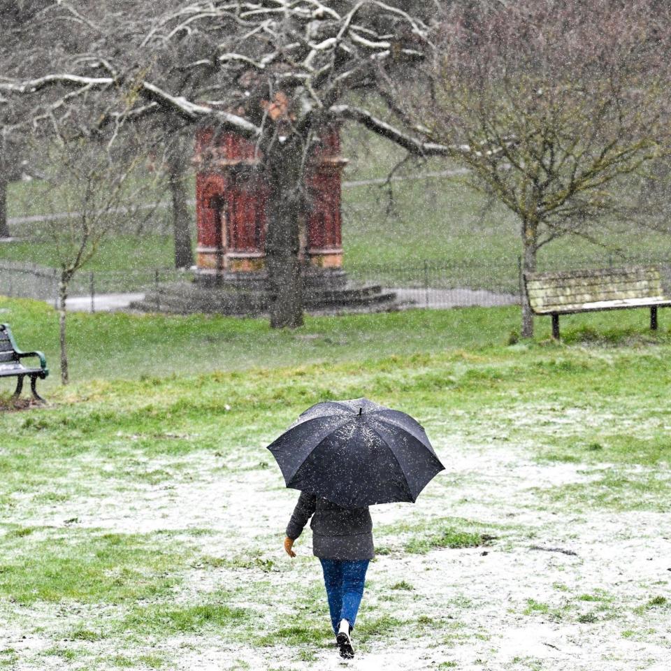
Pictured: Snow in Surrey
05:01 PM GMT
Icy conditions tonight across south England and Wales
❄️ Wintry showers likely to bring some icy conditions to southern England and Wales this evening
☁️ Drier elsewhere but mostly cloudy, although some clearer spells further north and west
🌬️ Cold with a widespread frost developing, and breezy in the south pic.twitter.com/xXupg6SRIh— Met Office (@metoffice) January 8, 2024
04:50 PM GMT
Mayor activates emergency severe weather plan for first time in 2024
The Mayor of London has activated the pan-London Severe Weather Emergency Protocol (SWEP) to protect homeless people as temperatures are forecast to fall below 0C tonight.
This is the first SWEP activation of the year and will ensure that councils across London, alongside homelessness charities, open additional emergency accommodation for people who are sleeping rough.
SWEP was active for 28 nights last year with 1,350 people temporarily taken off the streets.
Sadiq Khan said: “As the cold weather returns, we stand ready to help the most vulnerable in our society. With temperatures dropping below zero across the capital I’ve activated my Severe Weather Emergency Protocol to make sure anyone seen sleeping rough in these freezing conditions is offered a place in emergency accommodation. They will also be offered support to move on to the safe, secure accommodation they need.
“Since 2016, we’ve quadrupled funding and support to tackle homelessness, helping over 16,000 rough sleepers off the streets, but there’s much more to do. For many Londoners, the cost-of-living crisis, rising rents and benefit cuts will make this winter feel longer and colder than ever. We know that these factors are forcing more people onto the streets. We’re stepping up support in London, but it’s imperative that ministers stop turning a blind eye to this crisis and play their part too.”
04:34 PM GMT
Cold weather will worsen Britain's pothole crisis, warns RAC
Icy conditions mean more potholes will appear as wet roads freeze and crack, according to the RAC.
Alice Simpson, a spokesperson, said: “Unfortunately, sub-zero temperatures mean even more potholes will appear in the coming weeks as already wet roads freeze and crack.”
“After a relatively mild Christmas, drivers need to ensure they’re prepared for potentially icy roads during the first full week back at work – especially in the North and south west of England and the West and East Midlands where conditions are expected to be worst.”
The warning comes as pothole-related incidents hit a five year high, AA figures show.
Its breakdown service attended 47,200 pothole-related callouts in September 2023, the highest for the month since 2018.
04:25 PM GMT
River Thames levels still high, warns EA
The river levels on the Thames are still high, the Environment Agency has warned.
It said: “We’re operating the Jubliee River in Berks. It’s carrying 160,000 cubic metres of water and protecting 3,200 properties from flooding.”
River levels on the River Thames still high.
We're operating the Jubliee River in Berks. It's carrying 160,000 cubic metres of water & protecting 3,200 properties from flooding.
✅ Watch this video for more info.
✅ Check flood risk at https://t.co/Kj66WGtO6G. pic.twitter.com/L1aOC3P16N— Environment AgencySE (@EnvAgencySE) January 8, 2024
04:03 PM GMT
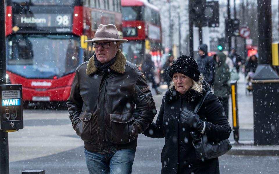
Pictured: Snow on Oxford Street
03:58 PM GMT
Drivers told to slow down on roads in Ireland amid cold snap
Motorists should exercise caution today, “particularly on untreated roads, as freezing temperatures have caused widespread ice throughout the road network,” warns Northern Ireland Road Police.
Drivers have been advised to stick to main, gritted roads and decrease their speed to avoid accidents.
03:49 PM GMT
Raised risk of heart attacks, warns UKHSA
Cold weather can raise the risk of heart attacks, strokes and chest infections, and is particularly dangerous for the elderly and people with underlying health conditions, according to the UK Health Security Agency.
Dr Agostinho Sousa, head of extreme events and health protection at UKHSA, said: “With the Met Office forecasting drops in temperature across the United Kingdom into next week, it is important to check in on the wellbeing of those most vulnerable to the cold.”
03:21 PM GMT
Severe Weather Emergency Protocol initiated to save rough sleepers
Hackney Council has activated a severe weather emergency protocol for the homeless.
Residents are being told to report the locations of rough sleepers so that the council can offer them protection from the extreme weather.
We’re activating the Severe Weather Emergency Protocol #SWEP to ensure anyone sleeping rough has somewhere safe and warm to go as temperatures drop
If you see someone sleeping rough, report their location on the @Tell_StreetLink app or website https://t.co/IkXYPqFaJE pic.twitter.com/7GJllp9VXh— Hackney Council (@hackneycouncil) January 8, 2024
03:06 PM GMT
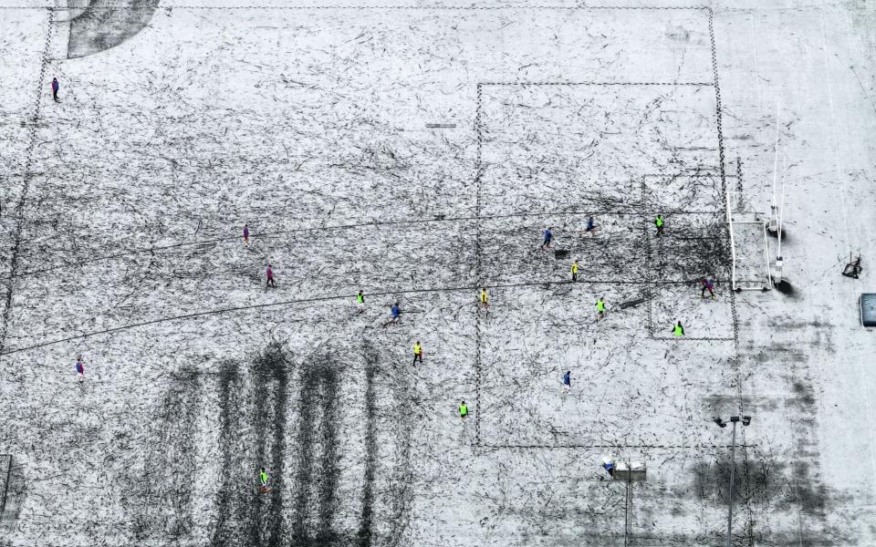
Pictured: Snow in Kent
02:55 PM GMT
'Disruptive' and 'heavy' snow showers next week, says Met Office
Many people will see flakes of snow today, according to the Met Office, with “disruptive, heavy, and frequent” showers also expected next week.
Several centimetres or more may fall in the North next week, which is expected to cause travel disruption, the forecaster said.
02:27 PM GMT
Check if there are flood alerts and warnings near you
02:25 PM GMT
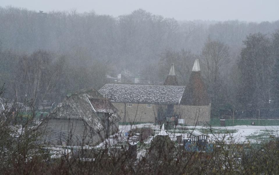
Pictured: Snow in Kent
02:19 PM GMT
Homeowners warned about pipes bursting amid the cold weather
Homeowners have been warned that their pipes may burst if safety precautions are not taken.
The Met Office said: “Make sure your pipes are insulated to avoid pipe bursts.”
It comes as temperatures dropped to -8C in Altnaharra, Scotland, today.
Be #WeatherReady for cold weather. Make sure your pipes are insulated to avoid pipe bursts.
Read more here: https://t.co/icRNQju2aL— Met Office (@metoffice) January 8, 2024
02:16 PM GMT
Wintry showers until tomorrow morning, says Met Office
Wintry showers are expected to continue across southern England tonight and into Tuesday, the Met Office said.
It will be mostly dry elsewhere, but widespread frost and clear skies has been forecasted, while Scotland will remain cold, with patches of freezing fog.
On Tuesday morning, more snow is to be seen in the South West, with dry and sunny spells elsewhere.
02:06 PM GMT
'Significant' floods expected to continue, Environment Agency warns
“Significant” floods are expected to continue in parts of the lower River Trent on Monday, the Environment Agency has said.
Minor impacts are expected in the area, along with the River Thames and River Severn until Wednesday.
Groundwater flooding is also predicted across parts of Dorset, Wiltshire and Hampshire and could possibly hit other parts of the south as well as Yorkshire, it said.
01:55 PM GMT
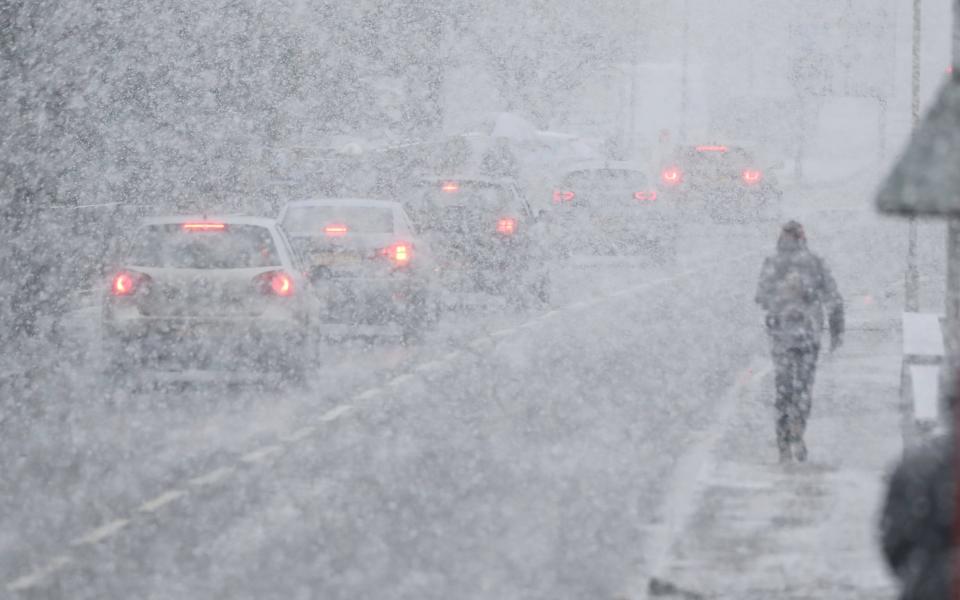
Pictured: Icy weather sweeps UK
01:45 PM GMT
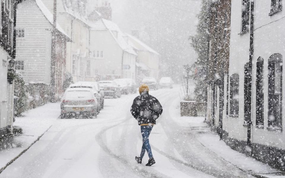
Snow hits London
Snow is falling in central London, with flakes seen in Victoria on Monday at around 1.30pm.
Flurries of snow are expected across many parts of the country as temperatures plummet.
Earlier today, the Met Office issued an ice warning from 3pm, with “parts of southern Britain likely to see snow showers”.
01:37 PM GMT
Plan your route and check for delays, warns Met Office
Amid the cold snap, which is expected to last for much of the week, the Met Office has told drivers to plan their routes and check for delays.
Stephen Dixon, a spokesperson for the forecaster, said the change in conditions is because of cold air from the north and the east replacing wet westerly air.
He said: “It is a cold regime and that theme continues for much of the week.
“Temperatures through the week will remain below average for this time of year.
“If you do have to travel in icy conditions, plan your route, check for delays and road closures.
“If you are driving ... look out for potential hazards and keep your speed down. Using a higher gear may be more appropriate.”
01:22 PM GMT
Latest forecast
❄️ Rain, sleet and snow showers continue in the south, bringing some icy conditions this afternoon
⛅ Drier elsewhere with sunny spells
🌬️ Feeling cold with a fresh easterly breeze in England and Wales pic.twitter.com/e2Wl0kHeWy— Met Office (@metoffice) January 8, 2024
01:21 PM GMT
Delays for commuters
Commuters had been warned to expect delays to their journey times, with roads and railways likely to be affected by ice and expected snowfall.
The Met Office yellow weather warning states: “A mix of sleet and snow showers will move in from the east later on Sunday night along with temperatures near zero.
“Given these wintry showers, and also wet surfaces after recent wet weather, some icy patches are likely on untreated surfaces.”
Many areas are still recovering in the aftermath of Storm Henk, which left two dead and destroyed hundreds of homes and businesses.
01:21 PM GMT
Amber health alert in place
Authorities issued an amber cold weather health alert on Sunday.
The UK Health Security Agency (UKHSA) and the Met Office issued the alert for North West England, the West Midlands, East Midlands and South West England until midday on January 12.
This means “cold weather impacts are likely to be felt across the whole health service for an extended period of time”.
Dr Agostinho Sousa, head of extreme events and health protection at UKHSA, said: “With the Met Office forecasting drops in temperature across the United Kingdom into next week, it is important to check in on the wellbeing of those most vulnerable to the cold.”
A yellow cold health alert, one level below amber, remains in place for the North East, Yorkshire and The Humber, the East of England, South East England and London.
01:21 PM GMT
‘Put cat litter on your driveways’
The National Weather Service has advised those in areas that could be affected by ice to put cat litter on paths and driveways to reduce the risk of slipping.
The Met Office said temperatures were not likely to be higher than 3C and that, owing to the windy weather, it could feel more like -3C.
It also said a few places should expect the snow showers to turn “quite heavy”, with the potential for around 1-3cm of snow over the North Downs.
Residents of Greater London, Kent, Surrey, East Sussex and West Sussex have been urged to remain vigilant when travelling, with “icy patches and wintry showers” forecasted.
01:20 PM GMT
Snow in Kent
01:20 PM GMT
Welcome to our live coverage
Follow our liveblog for the latest weather and travel updates as snow flurries fall across London and the South East.

