UK weather forecast: Floods bring disruption to England as Scotland faces snow
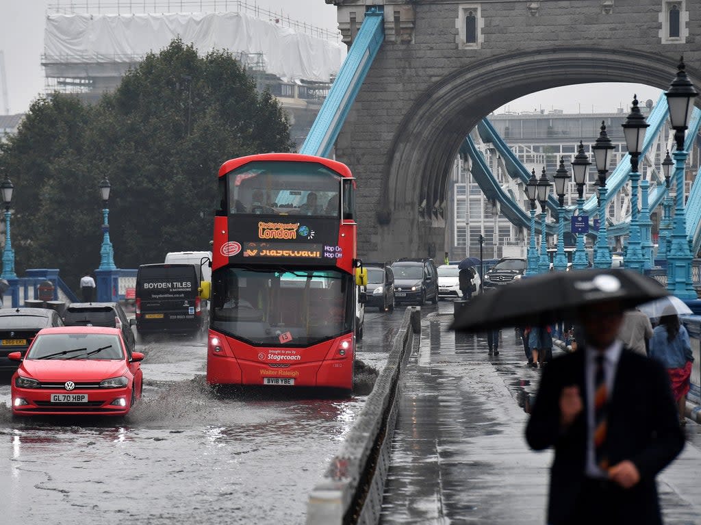
Torrential rain on Wednesday night has left many parts of southern and east England flooded.
The Met Office issued an amber weather warning across London and large parts of southern and east England ahead of heavy rainfall and strong winds from a storm moving in from France. It warned that power cuts, difficult driving conditions and road closures were expected.
It comes only a fortnight after similar downpours caused days of disruption on the London Underground and left some shops and homes underwater.
The Thames Barrier was also closed to protect London from flooding, the Environment Agency said. The barriers which protect London’s flood plains from being flooded by high tides, will remain shut until 6pm on Thursday.
Closing the barrier reduces the risk of flooding for up to 640,000 properties in London and along the Thames, the Environment Agency said.
A spokesman for the Environment Agency said: “While the barrier will help to protect London from tidal flooding, there are also risks from coastal flooding along the east coast on Thursday and Friday.
“Heavy rain also means that there is a separate but concurrent risk of river flooding across the south of England.”
Essex Fire Service said they had received more than 120 calls up till 2.30am regarding flood-related incidents.
A section of the M23 between Crawley and Pease Pottage was closed due to flooding. Northbound lanes were closed from J11 - J10a and the southbound closed for a slightly longer stretch from J10 to J11. Significant surface water has also been flagged in parts of London with heavy disruption and road closures along the approach to Brent Cross flyover in North London and Hammersmith flyover in West London.
⚠️ We've had 120+ calls to flood related incidents. As a result of #StormAurore, there is an amber weather warning in place. Please follow our safety advice for floodwater:
- Do not risk driving through floodwater
- If your road is flooded, turn around and find another route pic.twitter.com/pOYTZkb3Pa— Essex Fire Service (@ECFRS) October 21, 2021
The Met Office issued yellow rain warnings for the southern counties and Channel Islands until 3am on Thursday, but said the most severe impact of Storm Aurore would be over northern France.
It predicted that unsettled weather was likely to persist this week with Scotland also beginning to see snow this week. Temperatures in the north west Highlands are suffering temperatures as low as -11C with sleet and snow showers forecasted in the area today, the Met Office said.
A Met Office forecaster said: “From Thursday, temperatures will fall below average for most, increasing the likelihood of snow over higher ground in the North.”
The forecaster also warned of poor visibility caused by snow showers on higher grounds throughout the week. Glencoe, Ben Nevis and surrounding areas are among the locations affected.
According to meteorologists, high intensity winds and severe cold could last until November as temperatures feel a little cooler throughout Scotland.
Read More
Amber warning for torrential rain and flooding in south
Thunderstorm warning issued across England and Wales with disruptions likely for some
UK weather: Heavy rain set to hit north of England after London flash floods
Thunderstorms set to cause ‘flooding and travel chaos’ in parts of UK
Thunderstorm warnings for large parts of UK as damp weather continues

