UK weather forecast: Met Office warns of 'thundersnow' as deep freeze grips country

Snow downpours mixed with thunder and lighting could hit parts of Britain this week as a deep freeze continues to grip the country.
The unusual phenomenon, known as "thundersnow", can only happen during a handful of months when lightning storms form in wintry conditions, giving rise to both thunder and snow.
Yellow warnings for ice also remain in place for most of the country until midday Tuesday.
Showers are forecast to continue to bring rain, sleet and snow, although significant flurries are expected to remain limited to higher ground.
Temperatures in London and Cardiff are expected to peak at a chilly 5C, while Birmingham will see highs of 3C and Edinburgh just 2C.
Further wintry showers are expected in the North and West on Tuesday night, bringing more snow to the hills and some low-lying areas.
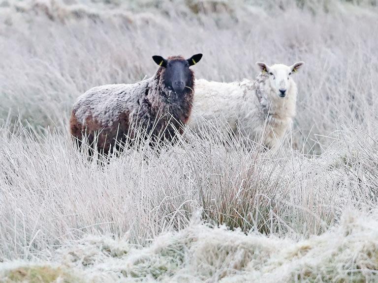
A widespread frost will form overnight, meaning it will be an icy start to Wednesday.
Snow, sleet and rain showers are likely around the north, east and west coasts on Wednesday and it will be a sunny but cold day.
It will stay cold again on Thursday but things should turn milder on Friday.
Highways England warned motorists that it was snowing “quite heavy” on the M62 trans-Pennine route, where efforts were underway to keep the road open using ploughs and salt.
On the M6, snow caused the closure of the southbound entry slip road at junction four overnight, although the road was reopened in the early hours.
Meanwhile, a fleet of 32 gritters was out in southwest Scotland where TranServ, which manages motorways in the country, described conditions as “Baltic”.
Some light snow was also seen in southeast England as the wintry front moved through from the northwest.
Met Office meteorologist Sophie Yeomans warned of the risk of slips and falls on untreated paths and icy roads.
“The snow is mainly on the hills, while for most places the showers are falling as rain and maybe a bit of sleet,” she said.
“We’ve got some ice warnings; the weather front that has gone through has left rain on the ground, so as the air temperatures start to drop ground temperatures will be below zero and that’s giving the risk of ice across most of the UK.”
