Utah snow storm to force road closures, impact traffic statewide
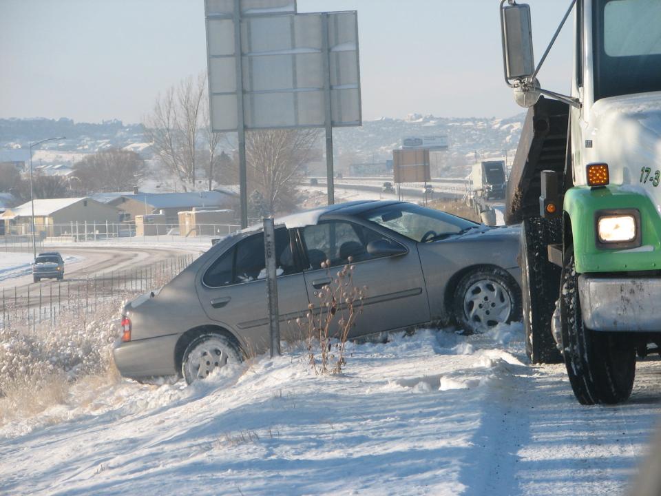
Roadways across Utah could get dangerous this week as a massive winter storm is expected to bring snow, rain and wind to some of the state's major travel routes.
The storm system, which was expected to drive into northwestern Utah on Tuesday morning and make it to southern Utah later in the day, was expected to last for several days and leave several feet of snow in the mountains, with wind gusts of up to 70 miles per hour in areas. By Wednesday, the storm could bring snow as far south as St. George, according to a winter weather alert issued by the National Weather Service.
The heavy snow could impact roadways all across the state, according to the Utah Department of Transportation, which issued an alert early Tuesday warning that dozens of roads could be impacted, including the entire stretch of Interstate 15 from just north of St. George all the way to the Idaho border.
"Along the Wasatch Front, the Tuesday evening and Wednesday morning commutes look to be highly impacted," according to the alert.
An agency spokesperson urged all motorists to check in with UDOT's latest traffic updates via udot.utah.gov/go/weather before hitting the road. Some of the major roadways expected to get significant snow included:
I-15, Idaho border to Black Ridge
I-70, Entire Route
I-80, Entire Route
I-84, Entire Route
US-6, Entire Route
US-40, Entire Route
US-89, Entire Route
US-191, Wyoming border to Blanding
US-491, Entire Route
SR-12, Bryce Canyon (Entire Route)
SR-14, Entire Route
SR-20, Entire Route
SR-143, Brian Head (Entire Route)
SR-190, Big Cottonwood Canyon (Entire Route)
SR-210, Little Cottonwood Canyon (Entire Route)
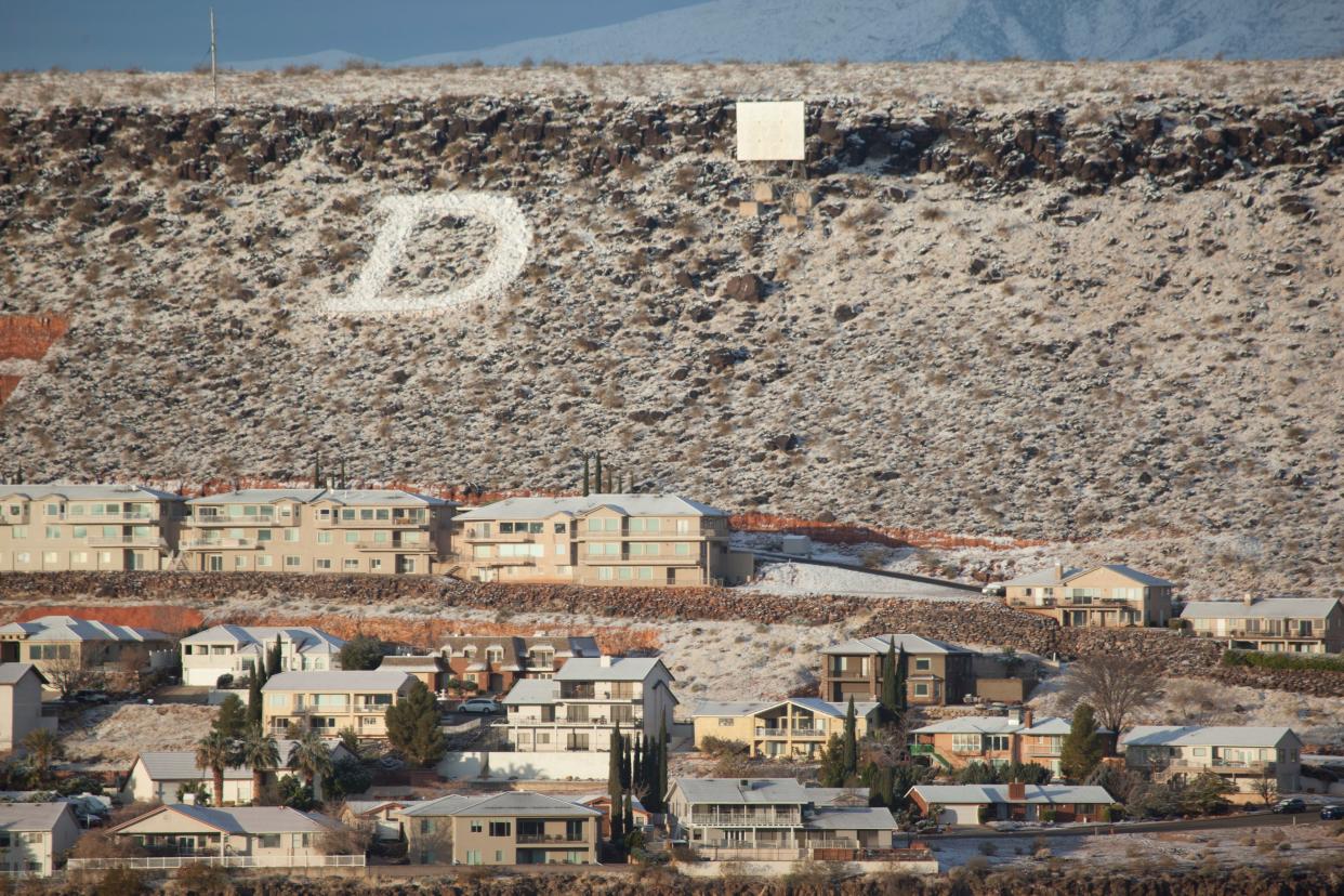
The massive storm, which was expected to bring ice, blizzard conditions and record cold temperatures to places all across the western U.S., had moved into Idaho by late Monday, with Utah officials bracing for the front of the storm to cross through the state on Tuesday. By Wednesday, it was expected to bring snow even to St. George and Zion National Park.
In and around Cedar City, the forecast called for heavy winds on Tuesday, followed by rain and snow showers before 11 p.m. From there, the snow will start to stick, with low temperatures in the teens, with the snow set to continue until late Thursday. Five to 10 inches of snow is expected over the course of the week.
The forecast for St. George called for high winds and mostly rain through Tuesday, but the dropping temperatures could lead to snow by Wednesday, with about an inch of snow by Wednesday night and potentially another inch on Thursday. Rain could continue into Friday, with a slight chance of snow.
Large swaths of the country could see over a foot of snow in the coming days, and parts of Minnesota are expecting 15 to 25 inches of accumulation. The Northern Rockies and Northern Plains were feeling the effects of the initial stages of the storm Tuesday morning.
Record-breaking cold temperatures could also hit the West, the National Weather Service’s Weather Prediction Center said. Those readings could extend from the West Coast to the Northern Plains later this week. Flash freezes are possible in the Northern Rockies, officials warned.
Winter storm warnings also extended throughout the northern Plains, in Nebraska, South Dakota, Minnesota, Iowa and Wisconsin. Snow accumulations could reach 18 inches, according to the National Weather Service in Rapid City, South Dakota.
This article originally appeared on St. George Spectrum & Daily News: Utah snow storm to impact traffic statewide; how to get updates

