Here’s how to visit Mount St. Helens despite the landslide that’s blocking the north road
The public is still able to visit multiple recreation sites and viewpoints at Mount St. Helens National Volcanic Monument that were unaffected by a massive landslide on May 14.
The landslide, now known as the South Coldwater Slide, damaged the upper portion of State Route 504 near milepost 49, cutting off access to the popular Johnston Ridge Observatory. Multiple trailhead and recreation sites along that route were impacted too.
However, the highway remains open to milepost 43 near the Science and Learning Center at Coldwater, according to a news release from Gifford Pinchot National Forest and the Washington State Department of Transportation.
The center at Coldwater is closed, but the release says visitors can still visit many scenic viewpoints up until that area, including Elk Rock at milepost 37 and Castle Lake at milepost 40.
Several visitor centers remain open as well. The Mount St. Helens Forest Learning Center is located at milepost 33, just outside the volcanic blast zone of Mount St. Helens. The public can still visit this center for free every day from 10 a.m. to 4 p.m. through Oct. 1.
This center teaches visitors about the mountain’s history and how the surrounding forests recovered following the devastating eruption in 1980, according to its website.
The Washington State Parks’ Mount St. Helens Visitor Center at Silver Lake is located off State Route 504, near Castle Rock. It features an expansive view of the mountain’s western slope and the surrounding forest as well as educational displays.
Admission at this center is free for kids 6 and younger, $2.50 for kids between 7-17, $5 for adults and $15 for families, according to its website. Hours vary by season, but it should be open daily from 9 a.m. to 5 p.m. from June 1 to Sept. 15.
The following areas are closed due to the South Coldwater Slide, according to the release.
Coldwater Lake Picnic and Boating Recreation Site.
Hummocks Trailhead Parking Lot.
South Coldwater Trailhead Parking Lot.
Hummocks Trail #229 from the trailhead to the junction with Boundary Trail #1.
Boundary Trail #1 from the junction with Hummocks Trail #229 to the Hummocks Trailhead.
Lakes Trail #211 from the trailhead to the junction with Coldwater Trail #230.
South Coldwater Trail #230A from the trailhead to the junction with Coldwater Trail #230.
Updates on closures can be found on the Gifford Pinchot National Forest website. WSDOT also keeps an updated real-time travel map of all state roads on its website.
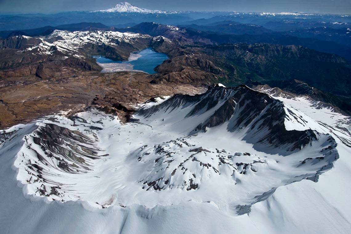
The South Coldwater Slide covered the last eight miles of State Route 504 and washed away Spirit Lake Outlet Bridge. A dozen people and a dog had to be evacuated from the Johnston Ridge Observatory by helicopter following the landslide.
The observatory overlooks the north side of the mountain that collapsed during the eruption on May 18, 1980 that left 57 people dead or missing.
The public is advised to avoid the area past the highway closure at milepost 43 because the hillside is unstable. The release says it’s too soon to tell when the highway may reopen.
The U.S. Forest Service and WSDOT are still collecting and analyzing data on the landslide to help determine next steps, according to the release.
Some roads are expected to reopen this summer as the snow melts, allowing the public to access sites on the south and east sides of Mount St. Helens National Volcanic Monument.
Other ways to visit the north side of Mount St. Helens National Volcanic Monument may open this summer. The release says the U.S. Forest Service is exploring alternative options and will share more information when its ready.
Road to Mount St. Helens observatory closed indefinitely after ‘catastrophic’ landslide

