Volunteers sought to test salt levels in Paulins Kill watershed
HOPE - The fledgling Paulins Kill Watershed is looking for volunteers to help monitor salt levels along the river, which begins in Newton, then flows south through the heart of Sussex County before merging with the Delaware River near Columbia in Warren County.
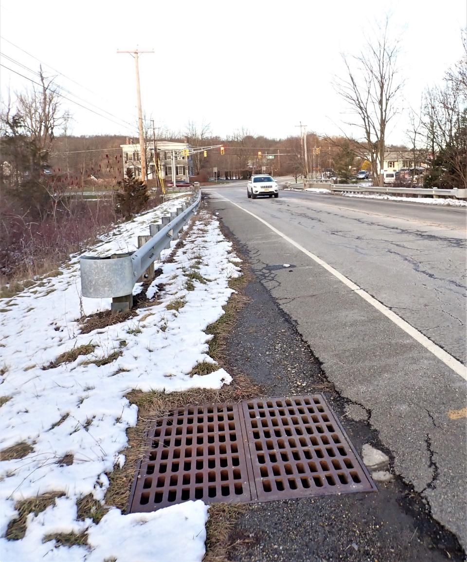
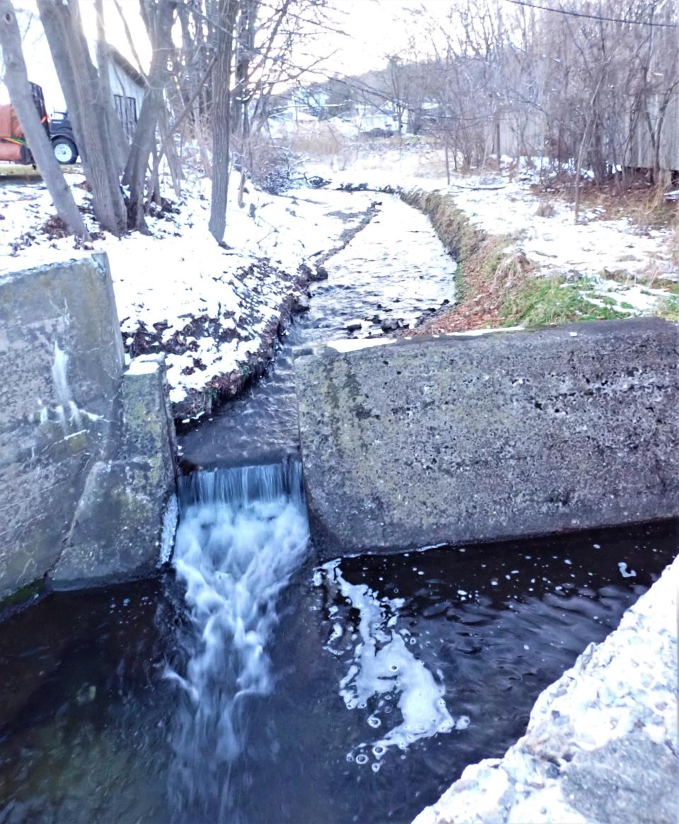
The salt comes mostly from what state, county and local highway crews spread on area roads in the winter to help clear roads. As the salt melts ice and snow, it also dissolves into that snowmelt and flows into the ground or is channeled by drainage ditches into nearby streams which flow into the Paulins Kill.
The Academy of Natural Sciences at Drexel University in Philadelphia, estimates some 20 million tons of sodium chloride, also known as rock or road salt, is scattered on U.S. roads. "When all this salt melts, it runs directly into our soil, groundwater and nearby freshwater streams and rivers, persisting in the ecosystem year after year. the academy writes on pages dedicated to the problem.
Of interest:Watergate restoration earns NPS honors for Delaware Water Gap project manager
The academy goes on to say nearly 40% of urban streams in the U.S. already have chloride levels that exceed the safe guidelines for aquatic life. The problems also extend to streams in rural areas and, in suburban and urban areas, are compounded by by homeowners, businesses and industrial sites who add their own snow/ice control agents to the salt.
According to the Smithsonian, the amount of rock salt used for de-icing in the U.S. amounts to 137 pounds per person each year. Once dissolved, the salt compound breaks down into its elements — sodium and chloride — which, in sufficient amounts, are poisonous to aquatic life and the mammals who feed on them.
In the hamlet of Columbia, which is nestled between the Delaware River and the network of state, county and local roads around Exit 4 of Interstate 80, road salt has gotten into the ground water which the 24 residences relied on for drinking water.
Knowlton Township, with some financial help from Warren County, is working to bring water purification systems to homes, provided the homeowners pick up future maintenance costs.
Christine Dunbar of the Foodshed Alliance, has begun her own effort at monitoring salt levels in the Paulins Kill and is looking for volunteers to collect and test water samples along the river's 41.6 miles, from source on a hillside in Fredon to its mouth in Knowlton.
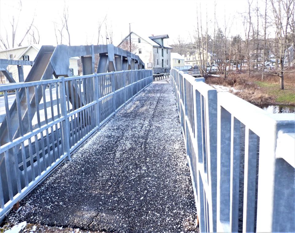
The river flows as a small creek through Newton (under Mill and Water streets, then northward through the Hyper Humas wetlands, reforming as a creek to flow through Lafayette then turning southwestward in Frankford. From there, the river becomes the man-made Paulinskill Lake, then goes through Stillwater into Blairstown and Knowlton in Warren County.
The river and lake are listed both as two words — Paulins Kill — and as one word in many references. In the Dutch language used by original settlers to the area, "kill" means "little stream or creek."
The Paulins Kill is the third largest tributary from New Jersey into the Delaware River, behind the Musconetcong River and Maurice rivers with a watershed area of 176.85 square miles through Warren and Sussex counties.
"We (Paulinskill Watershed) are looking for people to pick a spot along the river and gather samples," said Dunbar. The kits supplied to volunteers contain test strips to dunk in water gathered from the stream. The sampler then uses a cell phone to take a picture of what color appears on the test strips and sends that data on to a collection point.
Currently, the only spots being sampled are a quartet near the mouth of the kill in Knowlton.
Sampling is suggested to be done within 24 hours of the start of a snow or ice event when road salt is expected to be used, then again 72 hours (three days) after the storm has ended.
A map of where samples have been taken, and the results of those samples, can be found at: njwatershedwatch.org/road-salt. The NJ Watershed Watch is a statewide group which monitors pollution, such as road salt, in the state's waters.
NJ environment: Statewide bear incident reports triple this year
Environmental impact
The use of road salt brings up conflicts between environmental harm and the mobility of humans during winter storms. Road crews tell of a chain that begins with those who rely and want on safe, clear roads — commuters and businesses — putting pressure on politicians to get the job of clearing roads done quickly with those elected officials relaying those wishes on to public works officials and workers.
Sussex County Engineer Bill Koppenaal, who heads the Department of Engineering and Planning which includes the Division of Public Works, said the overall goal of the winter weather response program is "to provide county routes which are passable and reasonably safe for vehicular traffic as much of the time as possible" within conditions imposed by weather and availability of equipment and personnel.
The department's normal staff is augmented in storms by contractors who plow some roads. He said the county is aware of the environmental damage which can be caused by too much salt on roads and closely follows the science and technology advances.
Koppenaal said that within the county's response and best practices is the use of "deicing agents" which currently includes use of rock salt and a liquid deicing agent, currently calcium magnesium acetate, also known as "CALMAG" which is added to rock salt to increase its effectiveness. Also used in the proper conditions and road are "grit," which cold be sand or sand-like natural products to provide traction.
"Over the past 4 or 5 years the county has made significant investments to enhance winter response equipment and expand the use of liquid deicing agents within the (winter) program," he said.
Changes to winter response
Among the changes are new equipment and retrofitting of existing equipment where possible of systems on trucks which "meter" the amount of "salt" being dropped on the road for the real-time conditions. The new systems can also adjust to more salt for geographic situations, such as hills, nearing intersections and curves.
The county has also invested in liquid deicing systems, which can be seen as the "white lines" on roads in the few hours before a storm arrives. The systems also reduce the "bounce" of solid salt crystals hitting the road, putting a higher percentage on the actual paved surface.
There is also a system which makes road salt more effective at colder temperatures — below 20 degrees — when salt loses effectiveness.
The systems also help with the varying conditions with the countywide geography, such as the hills where rain falling in the valleys is actually snow falling. Sussex County is often on the borderline in costal storms where altitude is often the difference between heavy snow and mostly rain.
State highway crews also use liquid "pre-treating" which keeps falling snow from "sticking" to road surfaces, making plowing more efficient and reducing the amount of solid salt needed.
The Town of Newton has a "pre-treatment" facility for its own trucks to fill up with the liquid and has contacts with surrounding governments to supply their DPWs with the pre-treatment. In addition to the white lines, motorists might also notice "red lines," which is an indication of beet juice being used as the liquid.
That "juice" is biodegradable and has been found to be stickier and keeping more of the liquid de-icer on the road surface.
Koppenaal said, "The benefits include maximizing economic value related to cost and performance and reducing potential consequences of the deicing materials to environmental and corrosion impacts."
Dunbar said she has been learning a lot by watching the videos available on both the Paulinskill and NJ watershed websites which discuss results from last year and talk of future efforts.
"I would like to have folks aware that we cannot just keep escalating the usage of salts," she said. "This is expensive as well as destructive."
This article originally appeared on New Jersey Herald: Road salt could be impacting a NJ river. Here's how you can help

