Transition to flurries tonight; Cool temperatures this weekend
QUICK-LOOK FORECAST:
Transition to flurries tonight
Few more showers on Sunday
Cool over the next week
>> TRACK THE CONDITIONS WITH LIVE DOPPLER 7
DETAILED FORECAST:
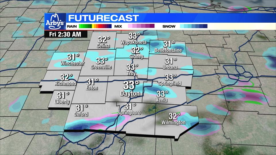
TONIGHT: Rain showers transition to snow flurries or light snow showers tonight.
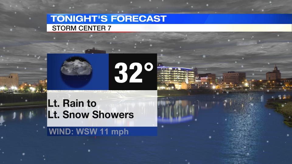
Storm Center Meteorologist Austin Chaney says we will see low temperatures drop to freezing. Roads should remain okay due to warm ground temperatures.
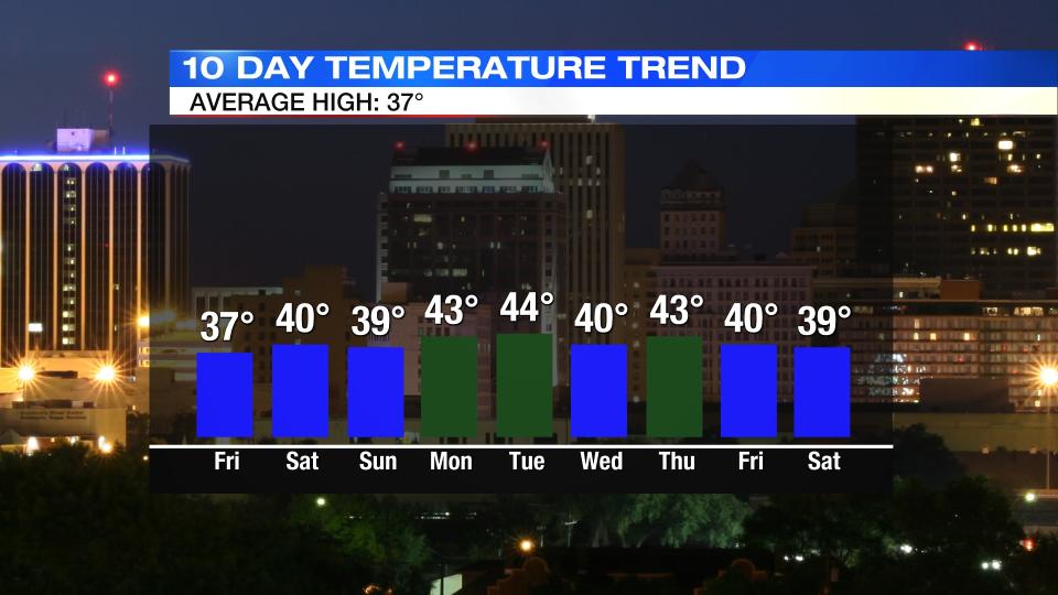
TOMORROW: A mostly cloudy day with a few lingering flurries or sprinkles possible.
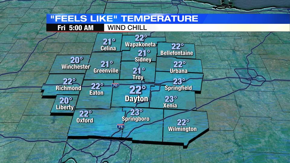
Highs reach the upper 30s, but wind chills stay in the 20s.
SATURDAY: After briefly clearing some overnight, clouds increase again Saturday.
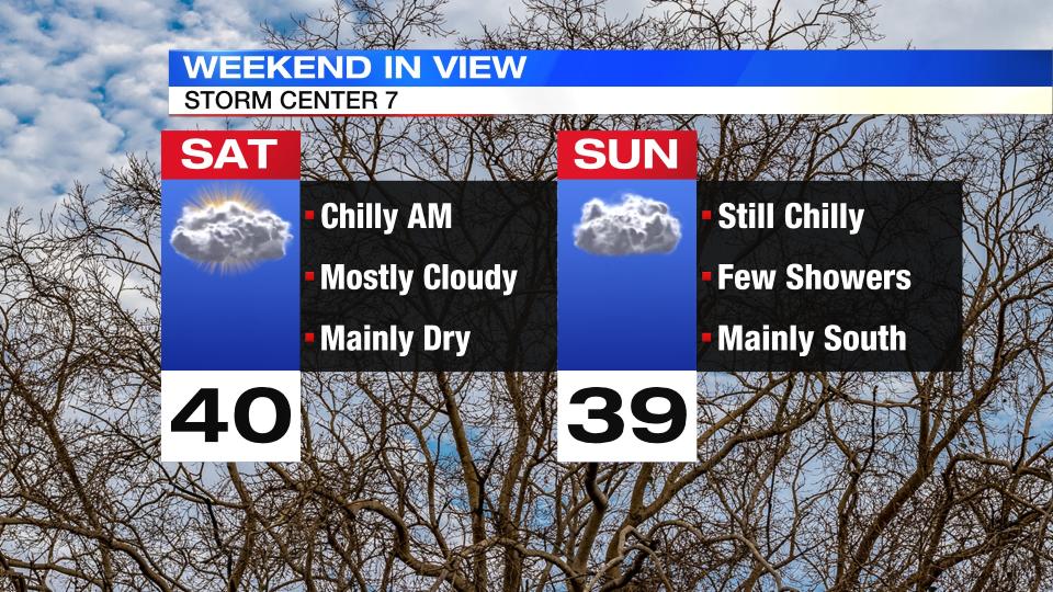
Chilly morning in the upper 20s. Highs around 40.
SUNDAY: Another chance for chilly rain showers through the day. Some wet snowflakes may mix as well. Best chance will be south of Dayton. Highs in the upper 30s.
MONDAY: More sun on Monday. Dry with highs in the lower 30s.
TUESDAY: Clouds increase through day. Highs in low 40s. Passing rain and snow showers possible at night.
WEDNESDAY: Mainly dry, mostly cloudy and cool with highs near 40.
THURSDAY: Mostly cloudy. cool again with highs in the lower 40s.

