Watch live: Volcano erupts in Iceland, spewing lava hundreds of feet into sky
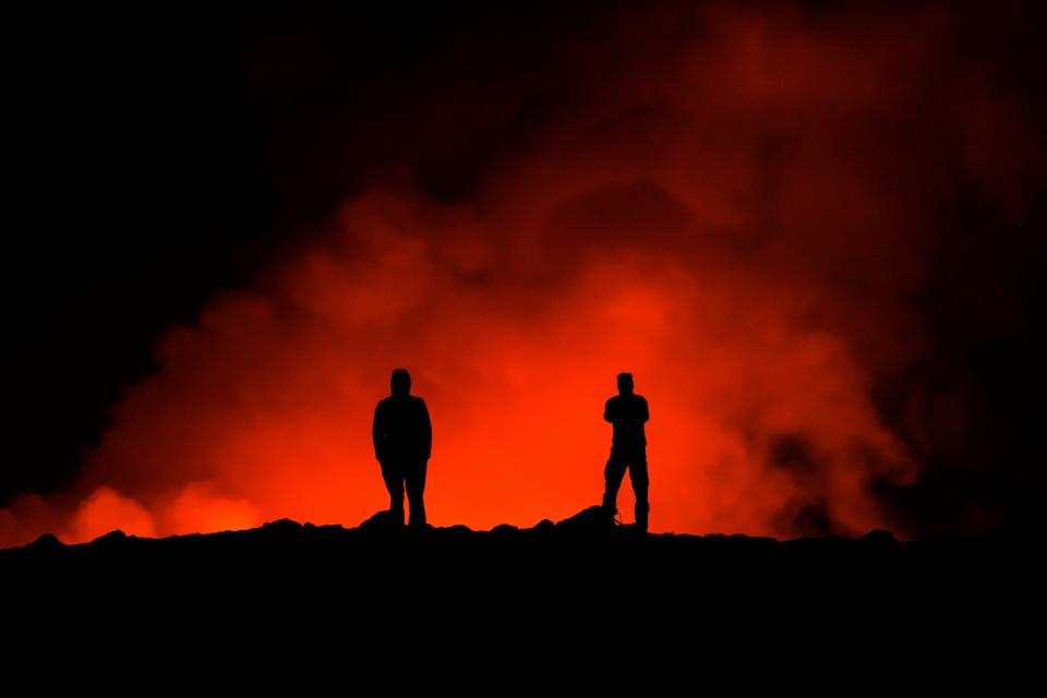
A volcano in Iceland is erupting for the third time in less than two months, spewing lava hundreds of feet into the sky and triggering the evacuation of one of the 25 Wonders of the World.
Iceland’s Meteorological Office said the Sylingarfell volcano began erupting at 6 a.m. local time (1 a.m. ET) Thursday, shortly after an intense burst of seismic activity reported at 5:30 a.m.
Officials reported the volcano is erupting in the southwestern part of the country, north of a nearby settlement.
The site is just over 2 miles northeast of Grindavik, a small coastal town evacuated before a previous eruption there Dec. 18.
No immediate threat to Grindavik
The first images from the country's Coast Guard's surveillance flight suggested the eruption is taking place at a similar location as the most recent eruption there in December, the office released in a statement.
Lava is flowing west and "the flow seems to be slightly less" than at the start of the eruption late last year, officials reported.
There was no immediate threat to Grindavik, or to a geothermal power plant in nearby Svartsengimajor, officials said, and civil defense officials reported no one was in the town at the time of the eruption.
“They weren’t meant to be, and we don’t know about any," Víðir Reynisson, the head of Iceland’s Civil Defense, told Icelandic national broadcaster RUV.
Blue Lagoon closed, evacuated
The outlet also reported the nearby Blue Lagoon thermal spa − one of the country's biggest tourist attractions and 25 Wonders of the World − was closed when the eruption started and its guests were evacuated.
A stream of "steaming lava later spread across a road beside the spa," the news agency reported.
So far no injuries have been reported by officials.
Military search and rescue: Rescuers search for 5 Marines after missing military helicopter found in Southern California
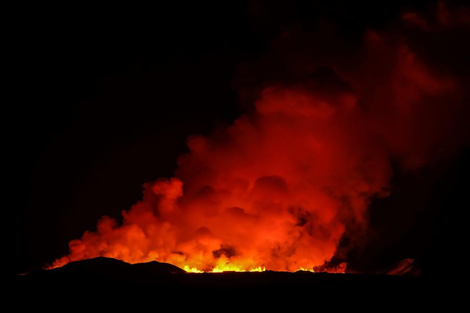
Fissure shoots nearly 2 miles high
The eruptive fissure is about 3 km long (1.6 miles), from Mt. Sundhnúkur, located south of the volcano, and stretches towards the eastern part of Mt. Stóra-Skógfell.
The lava fountains reach between 160-262 feet high, and the volcanic plume rises nearly 2 miles above the fissure, the office said.
When the volcano last erupted, it shot lava flowing away from Grindavik.
But the second eruption on Jan. 14 sent lava towards the town.
Defensive walls bolstered since the first eruption stopped some of the flow, but "several buildings were consumed by the lava, and land in the town has sunk by as much as (4½ feet) because of the magma movement," according to the Associated Press.
Since Friday, nearly 200 earthquakes have been measured in the area north of Grindavík, most of them around or below magnitude 1 at depth of up to 2.4 miles, Iceland’s Meteorological Office reported. The largest earthquake took place on Feb. 4, near Sundhnúkur, and measured a magnitude 2.2 at a depth of just under 4 miles.
Earlier this week the office warned of a possible eruption after "monitoring a buildup of magma, or semi-molten rock, below the ground for the past three weeks," the AP reported, adding hundreds of small earthquakes had been measured in the area since late last week.
Contributing: Associated Press
Natalie Neysa Alund is a senior reporter for USA TODAY. Reach her at nalund@usatoday.com and follow her on X @nataliealund.
This article originally appeared on USA TODAY: Iceland volcano eruption: Watch live, see photos

