Watersheds and Wayne County: Nothing in common with East Palestine

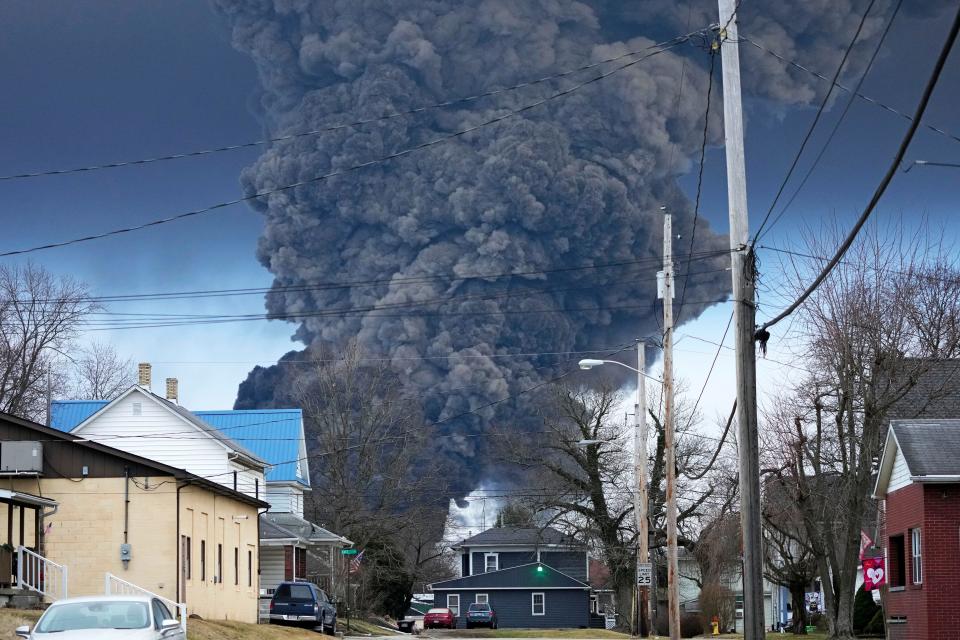
There have been a lot of conversations about watersheds in the last week, with much of them being brought because of concerns regarding the train derailment incident in East Palestine.
In these conversations and online discussions, a photo of the Ohio River watershed is often shared, leading many to believe that simply because they are within the watershed they will be impacted by the incident, which simply isn’t true.

We are certainly hopeful the communities downstream of the incident do not face major contamination related challenges, but here in Wayne County we are both up-wind and up-stream from where the accident occurred.
More:Determining how to price meats sales direct to the consumer
Let's talk watersheds and their impact on Wayne County
From the Wayne County Soil and Water Conservation District website: “A watershed is an area of land that drains to a common body of water, such as a stream, creek, river, pond, lake, or ocean. It is the entire land area that contributes runoff to a particular body of water.”
The largest watershed we are a part of is the Mississippi Drainage Basin, where the water flows southward into the Mississippi River and then into the Gulf of Mexico. Working backward toward our local watershed, the next largest is the Ohio River Watershed, which covers parts of Illinois, Indiana, Kentucky, Ohio, Pennsylvania and West Virginia. In addition, water from parts of New York, Virginia, North Carolina, Tennessee, Maryland, Mississippi, Georgia and Alabama also drain into the Ohio River Basin.
The watershed that gets us to the Ohio River is the Muskingum River Watershed. It is the largest wholly contained watershed in the state. Our water from Wayne County ends up in either the Tuscarawas River or the Walhonding River, which come together to form the Muskingum River in Coshocton.
Wayne County is uniquely located in terms of Ohio’s water sheds. Our northern county border is essentially the dividing line for the Ohio River Watershed and the Lake Erie Watershed. Generally, anything north of the county line, into Medina County is going to flow north into Lake Erie. Anything south of the Medina/Wayne County line will be flowing south into the Ohio River.
Wayne served by 52 watersheds, seven local that drain water out of county
According to the Ohio Department of Natural Resources, Wayne County is served by 52 watersheds. There are seven main local watersheds that drain water out of our county, and they are the Kiillbuck Creek, Chippewa Creek, Sugar Creek, Muddy Fork, Newman Creek, Salt Creek and Apple Creek. The local watersheds combine to handle over 80% of the water within Wayne County.
Watersheds are really interesting to study and learn more about. You can find more information about the watersheds where you live by visiting the Wayne Soil and Water website, wayneswcd.org, or mywaterway.epa.gov. Other useful resources include ohiowatersheds.osu.edu and water.usgs.gov/wsc.
Frank Becker is the Agriculture and Natural Resources Extension Educator with Ohio State University Extension – Wayne County, and a Certified Crop Adviser, and may be reached at 330-264-8722 or becker.587@osu.edu
CFAES provides research and related educational programs to clientele on a nondiscriminatory basis. For more information, visit cfaesdiversity.osu.edu.
This article originally appeared on The Daily Record: How does E. Palestine train incident touch Wayne? Most likely doesn't
