Here are some ways to enjoy the colors of fall in and around Somerset County
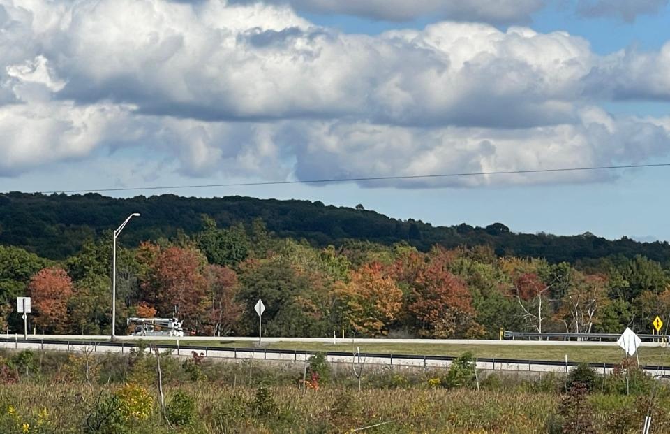
SOMERSET ― Trees in the Laurel Highlands region are starting to turn to shades of red, orange and yellow, and expectations are high this season for a brilliant fall display.
The state Department of Conservation and Natural Resources’ Bureau of Forestry released its first Fall Foliage Report for the 2023 season late last week, and according to the report, fall colors are starting to appear in the higher elevations, and trees in the region should reach their peak color in mid-October.
Squash that bug: Has the spotted lanternfly made its way to Somerset County? Here's what we know.
Forbes State Forest – which includes Mount Davis, the highest point in Pennsylvania at 3,213 feet above sea level – is already starting to unveil its fall colors, the report said. Other areas in the Laurel Highlands region are also hinting at a colorful fall, with black cherry, red maple, sugar maple, American beech and birch trees leading the fall transformation.
“These forests are currently showing beautiful reds, yellows and oranges, with maples the most vibrant,” the report said. “Most oaks remain fully green and will be one of the last groups to change in late October.
“High elevations will show peak color approximately two weeks earlier than surrounding lowlands.”
Laurel Ridge State Park spans four counties – Fayette, Somerset, Cambria and Westmoreland – as it crosses over Laurel Mountain between Ohiopyle and the Conemaugh Gorge, near Johnstown.
“Laurel Ridge State Park encompasses a wide variety of elevations and tree communities, which give the ridge a stunning fall foliage display,” said Hope Leer, a DCNR environmental education specialist, in an email to the Daily American.
“With good weather, I would expect for peak fall foliage to occur mid-October.”
The DCNR will release updated fall foliage reports for the entire state on Thursdays at its website as the season progresses. Here are some suggestions for taking in the area’s colorful scenery on foot or by bike, car, train or boat.
Hiking
The Laurel Highlands Hiking Trail is a 70-mile-long hiking and backpacking trail that’s part of the Laurel Ridge State Park. The trail leads from Ohiopyle to near Johnstown and is open year-round, with six trailheads where parking, picnicking and camping options are available. More information about the Laurel Highlands Hiking Trail can be found on the DCNR website.
Forbes State Forest has more than 250 miles of hiking trails, including an 11-mile portion of the Laurel Highlands Hiking Trail, a 1-mile round trip trail at Beam Rocks and a 4.5-mile hike at Wolf Rocks. More information about hiking trails in the Forbes State Forest can be found on the DCNR website.
Scaling new heights: Grandfather-grandson travel to top of tallest structure together
Hiking/Biking
The Great Allegheny Passage offers spectacular views all along its 150 miles of hiking and biking trail between Pittsburgh and Cumberland, Maryland. There are also trail points in Confluence, Rockwood and Meyersdale for those who want to walk or ride on the Somerset County portion of the trail, including 29 miles of new trail surface that was recently completed on that section. More information is available at the Great Allegheny Passage website.
The Path of the Flood Trail in Cambria County, completed in May, allows walkers and cyclists to walk or bike the entire 14.6-mile path of the 1889 Johnstown Flood, from its origin at the breast of the former South Fork Dam to its end at the Stone Bridge in downtown Johnstown. The trail takes visitors into the Little Conemaugh River Valley, using off-road trail and public streets, with trail-side markers along the route explaining the path the flood took as it passed through the valley. From the trail, visitors can also visit the Johnstown Flood National Memorial Lake View Visitor Center, the Staple Bend Tunnel, Johnstown Flood Museum and the historic Stone Bridge. More information about the Path of the Flood Trail can be found at the Cambria County Conservation & Recreation Authority website.
Driving
For motorists, a drive through Somerset County is sure to offer some spectacular scenery, with Route 30 east and west and Route 219 north and south covering the majority of the county.
Somerset County has 10 covered bridges that add to the area’s picture-perfect scenery this time of year. A driving tour of Somerset County covered bridges can be found at the Somerset County Chamber of Commerce website or at the Somerset Historical Center, home to one of the covered bridges.
A driving tour that follows a 22-mile section of the Stonycreek River in Somerset County can be found online at thestonycreek.com.
More about the covered bridges: Did you know there are 10 covered bridges in Somerset County you can drive or walk on?
Train
There are four scenic railways near Somerset County that offer leaf-viewing excursions each fall. More information about their programs is available at their respective websites:
East Broad Top Railroad: eastbroadtop.com
Everett Railroad: everettrailroad.com
Western Maryland Scenic Railroad: wmsr.com
Potomac Eagle Scenic Railroad: potomaceagle.com
Boat, kayak or raft
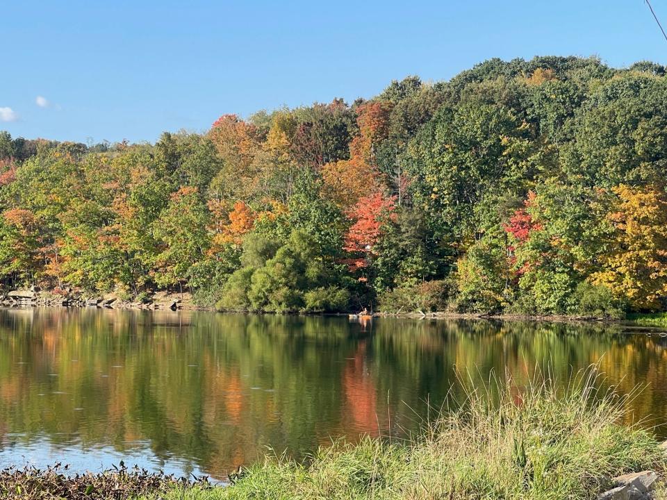
For those who enjoy seeing the change of seasons on the water, there are several places around Somerset County that offer stunning views of fall scenery by boat, paddle boat, kayak or raft. Information on boating regulations can be found on their respective websites.
Somerset Lake reopened in 2022, after a five-year rehabilitation project was completed. Boating and fishing, as well as bird watching and hiking around the lake, are available to the public. The lake is owned by the Commonwealth of Pennsylvania and managed by the state's Fish and Boat Commission.
The Quemahoning Family Recreation Area in Conemaugh and Jenner townships is open to water enthusiasts and campers until Oct. 22, when the campground closes for the winter.
The Youghiogheny River Lake Recreation Area, near Confluence, also permits a variety of fall recreation options. The campground is scheduled to close on Oct. 10. More information is available at recreation.gov/camping/gateways/412.
For whitewater rafting, the Stonycreek Canyon is renowned for its natural beauty and whitewater opportunities. For more information about rafting on the Stonycreek River, visit thestonycreek.com.
This article originally appeared on The Daily American: Somerset County fall foliage display enjoyed on foot, car, bicycle, train or boat

