Weather alert: Dust drives up extreme heat, triggering 3-day advisory in South Florida
Heat advisories have been issued for South Florida through Wednesday night. The advisories cover Miami-Dade, Broward, Palm Beach and Monroe counties.
The three-day advisory was issued Monday morning and will remain in effect until 8 p.m. Wednesday. Previous heat advisories have been issued by the day.
Here’s what to know:
Saharan dust
The arrival of Saharan dust will temper thunderstorms and coastal breezes that cool off the region, according to the National Weather Service. The heat advisory this week was issued for a longer period because of the desert dust collecting in the atmosphere that is driving up the heat.
“That’s working to lower our rain chances, which is only going to allow for a prolonged period of warm temperatures,” said forecaster Cameron Pine of the National Weather Service.
There could be a break in Saharan dust after Wednesday, Pine said, but the weather service is confident enough about the dust’s effect on the heat through mid-week.
7/10 - Good morning!
The good news is, a drier air mass overhead means a lower chance for afternoon showers and storms today. Bad news is, that also means another day of 90-95F temperatures with heat indices 105-110F
Heat Advisory is in effect through Wednesday 7/12.#flwx pic.twitter.com/pysb4U1he8— NWS Miami (@NWSMiami) July 10, 2023
READ MORE: Layers of dust are heading to Florida. How that can affect storms, heat and your health
Hotter water
Sea surface temperatures are higher than usual this week, which means less of a coastline breeze. With less breeze as a respite, the heat index gets higher.
A Heat Advisory is in effect for the #FloridaKeys today as a high pressure system remains over the archipelago. Please exercise caution outdoors and stay hydrated. Heat index values may reach as high as 110 degrees.#keylargo #flkeys #flwx #keywest #marathonflorida pic.twitter.com/NziblfnMpp
— NWS Key West (@NWSKeyWest) July 10, 2023
How hot will it be? And what’s what’s a heat index?
A heat advisory is triggered when the “feels-like” temperature hits 105 degrees or more. The index is a mix of air temperature and humidity.
Here’s what you can expect this week:
Monday: The heat index in Miami reached 110 and the high was 95.
Tuesday: High 90 to 91 with a heat index as high as 105. A 20% chance of showers and thunderstorms is forecast after 2 p.m.
Wednesday: Mostly sunny with a high of 90 or 91 and 40% chance of showers and thunderstorms.
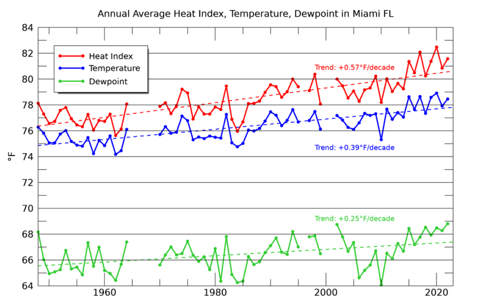
READ MORE: It’s Miami’s hottest year and a sign of the future

