Weather Permitting: It's going to get very cold in Fayetteville, but is it enough for snow?
The Cape Fear region has moisture.
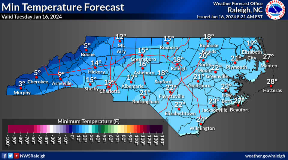
The Cape Fear region will have cold.
But we can't seem to get them at the same time. So, while the foothills and mountains are blanketed in white, folks in the Cape Fear region are just breaking out the blankets.
We're looking at the coldest air to reach Fayetteville in at least two years, with lows dropping into the teens and wind chills in the single digits Wednesday morning. Another round of even colder air will push in by the weekend.
Here's the setup
A cold front is poised to push through the region this afternoon, with Arctic air settling in on Wednesday. Later in the week, another Arctic air mass moves in with bone-chilling cold.
Sadly for snowhounds, neither air mass has any moisture to work with. The light rain across eastern North Carolina today moves out before the cold moves in: a classic case of cold chasing the moisture.
Instead, temperatures will begin to slide late Monday afternoon, then crater overnight. A brisk northerly flow will develop, driving temperatures into the low to mid-20s by Wednesday morning. Factor in the wind chill, and Fayetteville will feel like 16-18 degrees.
Daytime highs Wednesday will be lucky to top 40. The dew point drops to single digits, with daytime wind chills stalling in the low 30s. Watch out for static electricity lurking in sweaters and carpets.
This first round of cold is strong but fleeting. By Thursday morning, a southerly flow will build over the Carolinas, and Fayetteville will warm into the upper 40s, perhaps 50s to the south. Lows Thursday will hold well above freezing.

The weekend
A second round of potent cold will arrive on Friday, wringing out any moisture ahead of it. Sprinkles and clouds are possible Friday morning, but again — it's cold chasing the rain.
Fayetteville will have another round of gusty, cold wind Friday afternoon and evening. After a high of 50, the region will skid back into the low 20s by Saturday morning, then climb no higher than the upper 30s.
Sunday morning will be the coldest stretch, with upper teens likely in Fayetteville and mid-teens to the north and west. A high of 40 is optimistic for anyone in the central and northern regions.
Down the road
Believe it or not, there's a warming trend on the way. Like the previous cold blast, this one is brutal but temporary. A southeast ridge is projected to build early next week, pushing the region back into the 60s, possibly 70s to the south.
For the next few days, however, hunker down and bundle up.
Got a weather question? Chick Jacobs can be reached at ncweatherhound@gmail.com or NCWeatherhound on X/Twitter.
This article originally appeared on The Fayetteville Observer: Will Fayetteville see snow amid this week's cold temperatures?

